File:Uetliberg - Wollishofen - Zürichhorn 2012-09-27 16-15-12.JPG
Jump to navigation
Jump to search
Size of this preview: 800 × 533 pixels. Other resolutions: 320 × 213 pixels | 640 × 426 pixels | 1,024 × 682 pixels | 1,280 × 853 pixels | 2,560 × 1,706 pixels | 4,800 × 3,198 pixels.
Original file (4,800 × 3,198 pixels, file size: 2.95 MB, MIME type: image/jpeg)
Captions
Captions
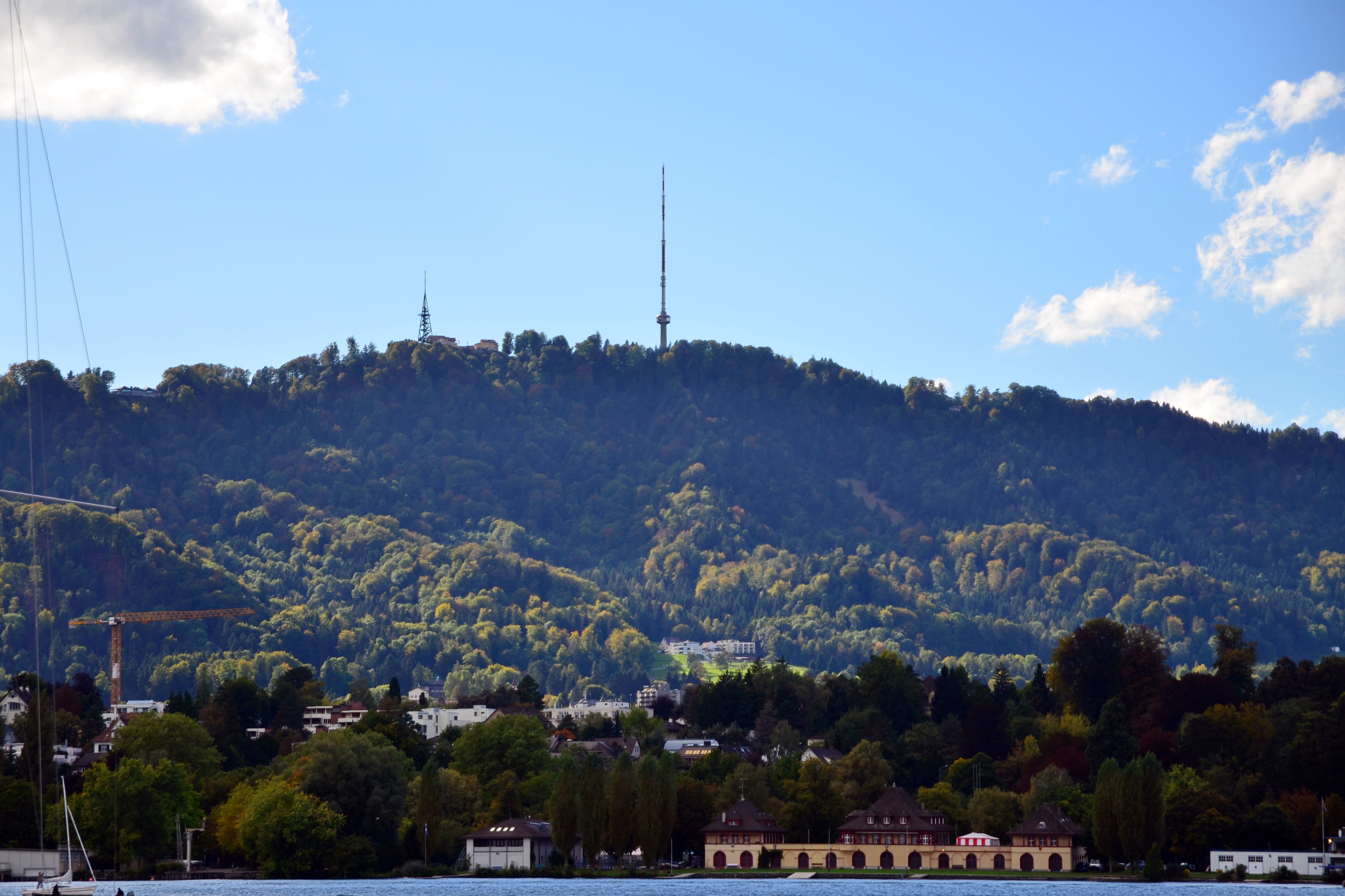
Uetliberg from Lake Zurich
Summary
[edit]
| Description |
Deutsch: Üetliberg (prähistorische Siedlungen und Bestattungsplätze, römische Siedlung, mittelalterliche Burg, Befestigungsanlagen)
|
||
| Date | |||
| Source | Own work | ||
| Author | roland zh | ||
| Attribution (required by the license) | © Roland Fischer, Zürich (Switzerland) – Mail notification to: roland_zh(at)hispeed(dot)ch / Wikimedia Commons / | ||
| Camera location | | View this and other nearby images on: OpenStreetMap |
|---|
Licensing
[edit]
I, the copyright holder of this work, hereby publish it under the following license:
This file is licensed under the Creative Commons Attribution-Share Alike 3.0 Unported license.
- You are free:
- to share – to copy, distribute and transmit the work
- to remix – to adapt the work
- Under the following conditions:
- attribution – You must give appropriate credit, provide a link to the license, and indicate if changes were made. You may do so in any reasonable manner, but not in any way that suggests the licensor endorses you or your use.
- share alike – If you remix, transform, or build upon the material, you must distribute your contributions under the same or compatible license as the original.
File history
Click on a date/time to view the file as it appeared at that time.
| Date/Time | Thumbnail | Dimensions | User | Comment | |
|---|---|---|---|---|---|
| current | 00:25, 1 October 2012 | | 4,800 × 3,198 (2.95 MB) | Roland zh (talk | contribs) | =={{int:filedesc}}== {{Information |Description= {{de|1=Üetliberg (prähistorische Siedlungen und Bestattungsplätze, römische Siedlung, mittelalterliche Burg, Befestigungsanlagen)}}{{Cultural property of national significance in Switzerland|11734}} ... |
You cannot overwrite this file.
File usage on Commons
The following 40 pages use this file:
- File:'Planetenweg Albis-Felsenegg' - 'Sonne' auf dem Uetliberg 2012-10-29 15-10-59 (P7700).JPG
- File:'Samichlaus' auf dem Uetliberg in Zürich 2013-11-27 14-31-17.JPG
- File:Aegerten (Uetliberg) - Bruno Weber's 'Hirschlampen' im Schnee 2013-11-27 14-42-00.JPG
- File:Albis - Uetliberg 2012-10-29 16-12-02.JPG
- File:Albis - Uetliberg 2012-10-29 16-13-51.JPG
- File:Art Deco 'Hirschlampen' von Bruno Weber im Abendlicht auf dem Uetliberg in Zürich 2013-11-27 16-17-02.JPG
- File:Aussichtsturm Uetliberg - Uto Kulm 2012-10-29 15-36-03 (P7700).JPG
- File:Aussichtsturm Uetliberg - Uto Kulm 2012-10-29 15-38-34 (P7700).JPG
- File:Brunau - Zufahrt A3 Uetlibergtunnel - Uetliberg 2013-11-27 15-02-20.jpg
- File:Bruno Weber's 'Hirschlampen' - Aegerten - Uetliberg 2013-11-27 16-17-36.JPG
- File:Bruno Weber's 'Hirschlampen' - Aegerten - Uetliberg 2013-11-27 16-18-56.JPG
- File:Bruno Weber's Hirsch-Sculpturen auf dem Uetliberg 2012-10-29 15-33-35 (P7700) ShiftN.jpg
- File:Bruno Weber's Hirsch-Skulpturen auf dem Uetliberg 2012-10-29 15-26-44 (P7700).jpg
- File:Bruno Weber's Hirsch-Skulpturen auf dem Uetliberg 2012-10-29 15-28-52 (P7700).jpg
- File:Bruno Weber's Hirsch-Skulpturen auf dem Uetliberg 2012-10-29 15-29-51 (P7700).jpg
- File:Bruno Weber's Hirsch-Skulpturen auf dem Uetliberg 2012-10-29 16-43-44 (P7700).jpg
- File:Bruno Weber's Hirsch-Skulpturen auf dem Uetliberg 2012-10-29 16-44-02 (P7700).jpg
- File:Enge- Sihlcity - Uetliberg 2013-11-27 15-10-54.JPG
- File:Fernsehturm - Uetliberg 2012-10-29 14-58-15 (P7700).JPG
- File:Hard - Industriequartier - Hardau - Prime-Tower - Uetliberg 2013-11-27 15-00-04.JPG
- File:Hard - Industriequartier - Prime-Tower - Hardbrücke - Uetliberg 2013-11-27 14-57-19.JPG
- File:Industriequartier - Durchmesserlinie Altstetten–Zürich HB–Oerlikon - Letzigrabenbrücke - Uetliberg 2013-11-27 14-58-58.JPG
- File:Stadtspital Triemli - Uetliberg 2013-11-27 15-01-32.JPG
- File:Standort des 'Oppidum Uetliberg', Ansicht vom Zürichhorn, am Seeufer das Strandbad Mythenquai 2014-01-06 12-10-24 (P7700).JPG
- File:Uetliberg - 2012-10-29 14-56-38.JPG
- File:Uetliberg - Bruno Weber 2012-10-29 15-55-48 (P7700).JPG
- File:Uetliberg - Fernsehturm - Uto Kulm 2012-10-29 15-46-59 (P7700).JPG
- File:Uetliberg - Hotel und Aussichtsturm - Uto Kulm 2012-10-29 15-44-17 (P7700).jpg
- File:Uetliberg - Kulm 2013-11-27 14-28-47.JPG
- File:Uetliberg - Uto Kulm 2012-10-29 15-37-42 (P7700).JPG
- File:Uetliberg - Uto Kulm 2012-10-29 16-10-22 (P7700).JPG
- File:Uetliberg - Uto Kulm 2012-10-29 16-39-34 (P7700).JPG
- File:Uetliberg 2012-10-29 14-57-26 (P7700).JPG
- File:Uetliberg 2012-10-29 15-04-00 (P7700).JPG
- File:Uetliberg 2012-10-29 15-04-59 (P7700).JPG
- File:Uetliberg 2012-10-29 15-06-12 (P7700).JPG
- File:Uetliberg 2012-10-29 15-08-24 (P7700).JPG
- File:Uetliberg 2012-10-29 15-39-57 -crop-.JPG
- File:Uetliberg 2012-10-29 16-53-12.JPG
- File:Uetliberg 2013-11-27 16-22-20.JPG
.JPG)
_-_Bruno_Weber%27s_%27Hirschlampen%27_im_Schnee_2013-11-27_14-42-00.JPG)
.JPG)
.JPG)
_ShiftN.jpg)
.jpg)
.jpg)
.jpg)
.jpg)
.jpg)
.JPG)
.JPG)
.JPG)
.JPG)
.jpg)
.JPG)
.JPG)
.JPG)
.JPG)
.JPG)
.JPG)
.JPG)
.JPG)
File usage on other wikis
The following other wikis use this file: