File:Ujście (gmina) location map.png
Jump to navigation
Jump to search
Size of this preview: 461 × 599 pixels. Other resolutions: 185 × 240 pixels | 635 × 825 pixels.
Original file (635 × 825 pixels, file size: 81 KB, MIME type: image/png)
Captions
Captions
Add a one-line explanation of what this file represents
| Description |
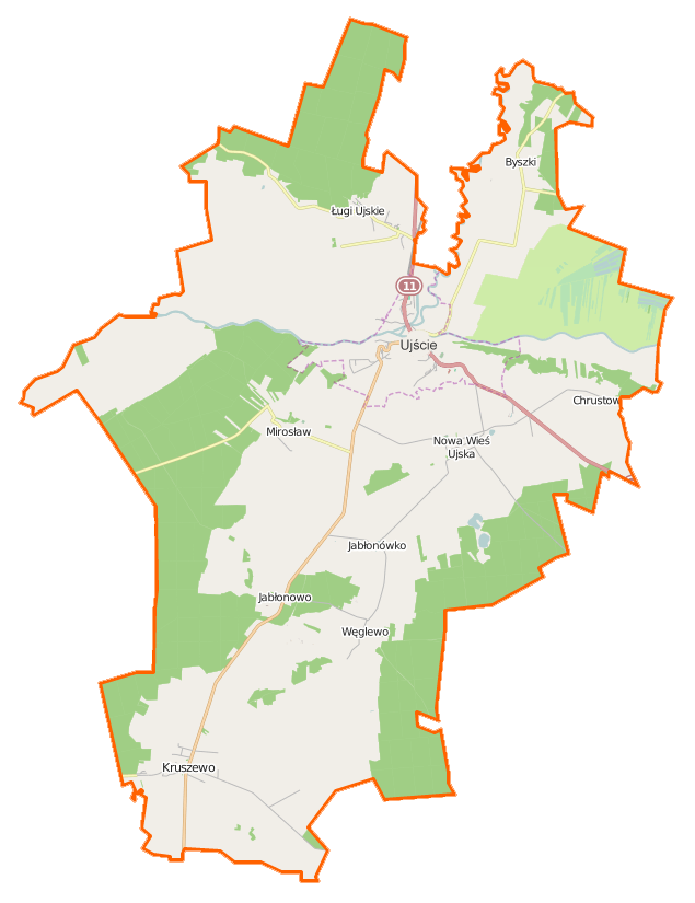
Polski: Mapa gminy Ujście, Polska
English: Map of Gmina Ujście, Poland |
|||||||||
| Date | ||||||||||
| Source | You may find a page on the OpenStreetMap wiki page for Ujście (gmina) | |||||||||
| Creator |
OpenStreetMap contributors OpenStreetMap contributors |
|||||||||
| Permission (Reusing this file) |
OpenStreetMap data is available under the Open Database License (details). Map tiles are licensed under the Creative Commons Attribution-ShareAlike 2.0 license (CC-BY-SA 2.0).
This file is licensed under the Creative Commons Attribution-Share Alike 2.0 Generic license.
|
|||||||||
| Geotemporal data | ||||||||||
| Bounding box |
|
|||||||||
| Georeferencing | If inappropriate please set warp_status = skip to hide. | |||||||||
File history
Click on a date/time to view the file as it appeared at that time.
| Date/Time | Thumbnail | Dimensions | User | Comment | |
|---|---|---|---|---|---|
| current | 16:22, 19 December 2014 | | 635 × 825 (81 KB) | VanWiel (talk | contribs) | {{OpenStreetMap | name = Ujście (gmina) | location = Ujście (gmina) | description = {{pl|Mapa gminy Ujście, Polska}} {{en|Map of Gmina Ujście, Poland}} | top = 53.1179 | bottom = 52.9476 | left... |
You cannot overwrite this file.
File usage on Commons
There are no pages that use this file.
File usage on other wikis
The following other wikis use this file:
- Usage on fr.wikipedia.org
- Usage on pl.wikipedia.org
- Ujście (miasto)
- Ujście (gmina)
- Byszki (powiat pilski)
- Ługi Ujskie
- Nowa Wieś Ujska
- Kruszewo (województwo wielkopolskie)
- Mirosław (województwo wielkopolskie)
- Chrustowo (powiat pilski)
- Jabłonowo (powiat pilski)
- Węglewo (powiat pilski)
- Bronisławki (powiat pilski)
- Nowie
- Ujście-Łęg
- Śluza Nowe
- Wilanowiec
- Kalwaria Ujska
- Kościół św. Mikołaja w Ujściu
- Parafia św. Mikołaja w Ujściu
- Pałac w Kruszewie
- Ujście Noteckie
- Ujście Południowe
- Ratusz w Ujściu
- Mirosław Ujski
- Jabłonowo Wielkopolskie
- Kruszewo Wielkopolskie
- Moduł:Mapa/dane/Ujście (gmina)
- Moduł:Mapa/dane/Ujście (miasto)
- Parafia św. Wojciecha w Kruszewie
- Kościół poewangelicki w Ujściu
- Kościół św. Wojciecha w Kruszewie
- Kościół Matki Bożej Różańcowej w Ługach Ujskich
- Usage on pl.wikibooks.org
_location_map.png&oldid=468429030)