File:United States Public Domain Map.svg
Jump to navigation
Jump to search

Size of this PNG preview of this SVG file: 800 × 476 pixels. Other resolutions: 320 × 190 pixels | 640 × 381 pixels | 1,024 × 609 pixels | 1,280 × 761 pixels | 2,560 × 1,522 pixels | 2,124 × 1,263 pixels.
Original file (SVG file, nominally 2,124 × 1,263 pixels, file size: 206 KB)
Captions
Captions
Add a one-line explanation of what this file represents
Summary[edit]
| Description |
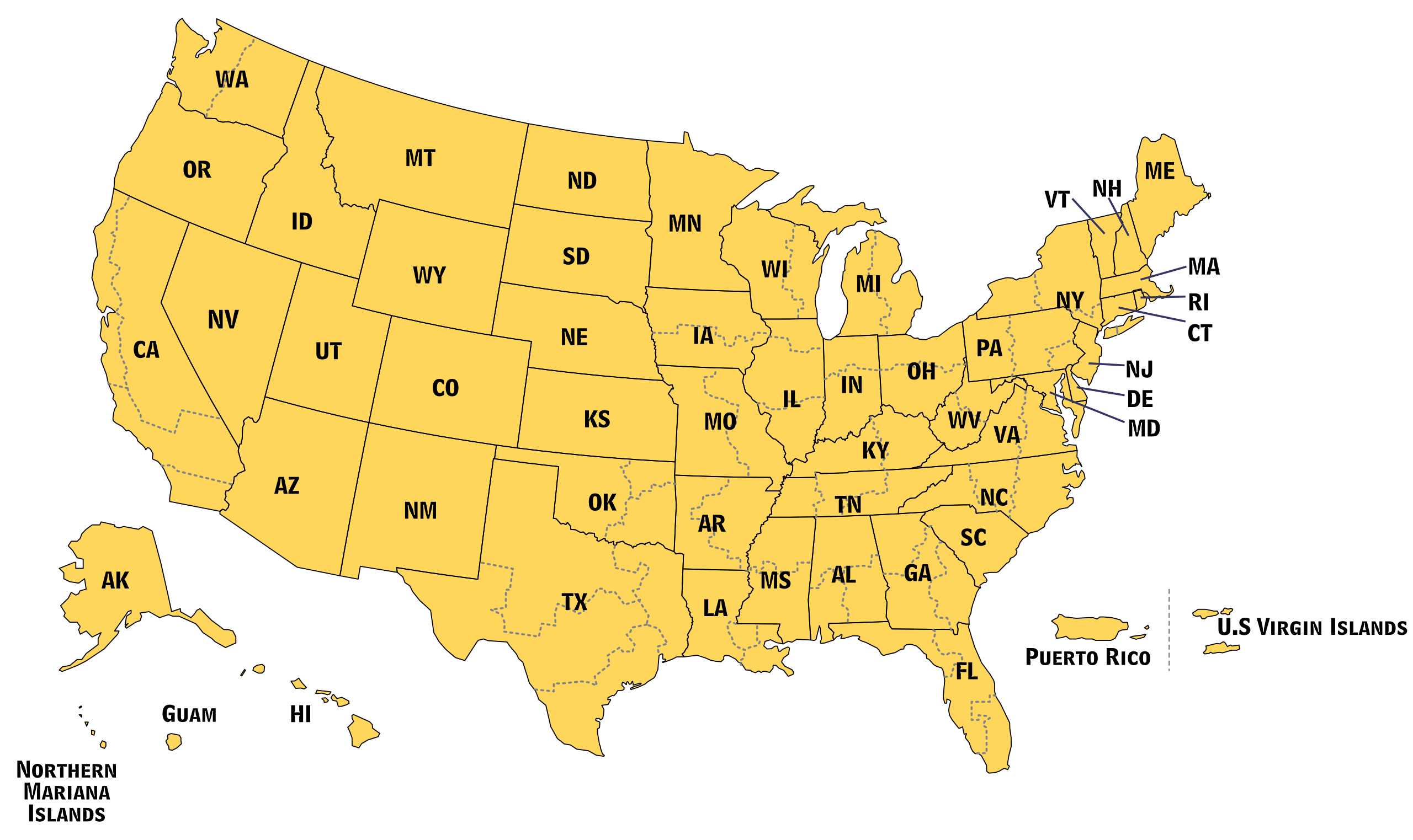
English: Public Domain Map of the United States |
| Date | |
| Source | Derivative of File:U.S. Federal Courts Circuit Map PD.svg |
| Author | U.S. Government, additional modifications made by Offnfopt |
| SVG development |
Licensing[edit]
This image is a work of a United States Department of Justice employee, taken or made as part of that person's official duties. As a work of the U.S. federal government, the image is in the public domain (17 U.S.C. § 101 and 105).
|
 |
File history
Click on a date/time to view the file as it appeared at that time.
| Date/Time | Thumbnail | Dimensions | User | Comment | |
|---|---|---|---|---|---|
| current | 21:29, 8 August 2020 | | 2,124 × 1,263 (206 KB) | SyntaxTerror (talk | contribs) | sorted into layers, minor corrections |
| 14:52, 26 August 2016 |  | 2,124 × 1,263 (147 KB) | Offnfopt (talk | contribs) | User created page with UploadWizard |
You cannot overwrite this file.
File usage on Commons
The following page uses this file:
File usage on other wikis
The following other wikis use this file:
- Usage on pt.wikipedia.org
- Califórnia
- Estados Unidos
- Texas
- Alasca
- Ilha de Navassa
- Porto Rico
- Guam
- Ilhas Marianas Setentrionais
- Ilhas Virgens Americanas
- Samoa Americana
- Estados dos Estados Unidos
- Wisconsin
- Washington, D.C.
- Alabama
- Arizona
- Arkansas
- Carolina do Norte
- Carolina do Sul
- Connecticut
- Colorado
- Dakota do Norte
- Dakota do Sul
- Delaware
- Flórida
- Geórgia (Estados Unidos)
- Idaho
- Illinois
- Indiana
- Iowa
- Kansas
- Kentucky
- Luisiana
- Maine
- Havaí
- Nova Iorque (estado)
- Maryland
- Óregon
- Missouri
- Nebraska
- Ohio
- Vermont
- Massachusetts
- Oklahoma
- Ilha Wake
- Wikipédia:Lista de predefinições/Países, regiões e organizações
- Predefinição:Subdivisões dos Estados Unidos
- Pensilvânia
- Wyoming
- Virgínia
- Nova Jérsia
View more global usage of this file.