File:Usa edcp location map-2.svg
Jump to navigation
Jump to search

Size of this PNG preview of this SVG file: 800 × 495 pixels. Other resolutions: 320 × 198 pixels | 640 × 396 pixels | 1,024 × 634 pixels | 1,280 × 792 pixels | 2,560 × 1,585 pixels | 1,181 × 731 pixels.
Original file (SVG file, nominally 1,181 × 731 pixels, file size: 2.57 MB)
Captions
Captions
Add a one-line explanation of what this file represents
| Description |
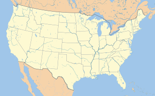
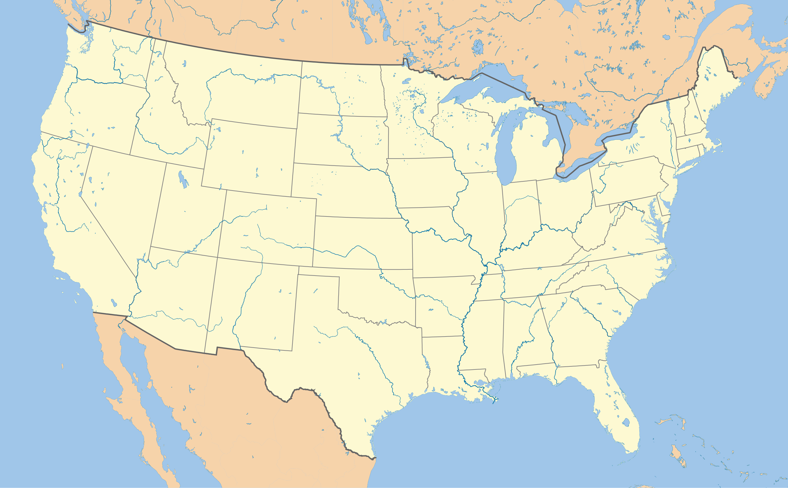
English: Location map of the USA (without Hawaii and Alaska). EquiDistantConicProjection : Central parallel : * N: 37.0° N Central meridian : * E: 96.0° W Standard parallels: * 1: 32.0° N * 2: 42.0° N Made with Natural Earth. Free vector and raster map data @ naturalearthdata.com. Formulas for x and y: x = 50.0 + 124.03149777329222 * ((1.9694462586094064-({{{2}}}* pi / 180)) * sin(0.6010514667026994 * ({{{3}}} + 96) * pi / 180)) y = 50.0 + 1.6155950752393982 * 124.03149777329222 * 0.02613325650382181 - 1.6155950752393982 * 124.03149777329222 * (1.3236744353715044 - (1.9694462586094064-({{{2}}}* pi / 180)) * cos(0.6010514667026994 * ({{{3}}} + 96) * pi / 180)) |
| Date | (UTC) |
| Source | |
| Author |
|
| This is a retouched picture, which means that it has been digitally altered from its original version. Modifications: Uses colors from File:US Locator Blank.svg. The original can be viewed here: Usa edcp location map.svg:
|
I, the copyright holder of this work, hereby publish it under the following licenses:
This file is licensed under the Creative Commons Attribution-Share Alike 3.0 Unported license.
- You are free:
- to share – to copy, distribute and transmit the work
- to remix – to adapt the work
- Under the following conditions:
- attribution – You must give appropriate credit, provide a link to the license, and indicate if changes were made. You may do so in any reasonable manner, but not in any way that suggests the licensor endorses you or your use.
- share alike – If you remix, transform, or build upon the material, you must distribute your contributions under the same or compatible license as the original.

|
Permission is granted to copy, distribute and/or modify this document under the terms of the GNU Free Documentation License, Version 1.2 or any later version published by the Free Software Foundation; with no Invariant Sections, no Front-Cover Texts, and no Back-Cover Texts. A copy of the license is included in the section entitled GNU Free Documentation License. |
You may select the license of your choice.
Original upload log
[edit]
This image is a derivative work of the following images:
- File:Usa_edcp_location_map.svg licensed with Cc-by-sa-3.0, GFDL
- 2010-08-24T17:56:50Z Uwe Dedering 1181x731 (2691477 Bytes) coastline was to thin and bahamas pulled out of the atlantic
- 2010-08-24T10:35:14Z Uwe Dedering 1181x731 (3648408 Bytes) {{Information |Description={{en|1=Location map of the USA (without Hawaii and Alaska). EquiDistantConicProjection : Central parallel : * N: 37.0° N Central meridian : * E: 96.0° W Standard parallels: * 1: 32.0° N * 2:
Uploaded with derivativeFX
File history
Click on a date/time to view the file as it appeared at that time.
| Date/Time | Thumbnail | Dimensions | User | Comment | |
|---|---|---|---|---|---|
| current | 04:31, 8 August 2011 | | 1,181 × 731 (2.57 MB) | Droll (talk | contribs) | {{Information |Description={{en|1=Location map of the USA (without Hawaii and Alaska). EquiDistantConicProjection : Central parallel : * N: 37.0° N Central meridian : * E: 96.0° W Standard parallels: * 1: 32.0° N * 2: 42.0° N Made with Natural Ea |
You cannot overwrite this file.
File usage on Commons
There are no pages that use this file.
File usage on other wikis
The following other wikis use this file:
- Usage on diq.wikipedia.org
- Usage on es.wikipedia.org
- Usage on ti.wikipedia.org