File:VTA Guadalupe Division entrance, November 2016.jpg
跳至導覽
跳至搜尋

預覽大小:800 × 415 像素。 其他解析度:320 × 166 像素 | 640 × 332 像素 | 1,024 × 532 像素 | 1,920 × 997 像素。
原始檔案 (1,920 × 997 像素,檔案大小:293 KB,MIME 類型:image/jpeg)
說明
說明
添加單行說明來描述出檔案所代表的內容
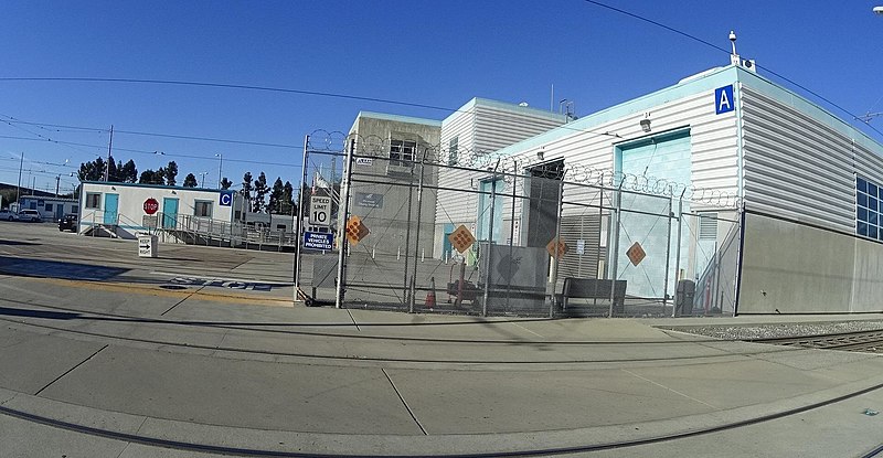
entrance gate to the Santa Clara Valley Transportation Authority light rail system's Guadalupe Division yard in November 2016
摘要
[編輯]
| 描述 | The entrance gate to the Santa Clara Valley Transportation Authority light rail system's Guadalupe Division yard. Building A is to the right in the foreground and Building C is to the left in the background. | ||
| 日期 | |||
| 來源 |
|
||
| 作者 | bhousel @ Mapillary.com | ||
| 授權許可 (重用此檔案) |
此檔案採用共享創意 姓名標示-相同方式分享 4.0 國際授權條款。
|
| 拍攝地點 | | 位於此地的本圖片與其他圖片: OpenStreetMap |
|---|
授權條款
[編輯]
此檔案採用共享創意 姓名標示-相同方式分享 4.0 國際授權條款。
- 您可以自由:
- 分享 – 複製、發佈和傳播本作品
- 重新修改 – 創作演繹作品
- 惟需遵照下列條件:
- 姓名標示 – 您必須指名出正確的製作者,和提供授權條款的連結,以及表示是否有對內容上做出變更。您可以用任何合理的方式來行動,但不得以任何方式表明授權條款是對您許可或是由您所使用。
- 相同方式分享 – 如果您利用本素材進行再混合、轉換或創作,您必須基於如同原先的相同或兼容的條款,來分布您的貢獻成品。
檔案歷史
點選日期/時間以檢視該時間的檔案版本。
| 日期/時間 | 縮圖 | 尺寸 | 用戶 | 備註 | |
|---|---|---|---|---|---|
| 目前 | 2021年5月28日 (五) 01:54 | | 1,920 × 997(293 KB) | Renamed user 150tcy3tya3ql(對話 | 貢獻) | Cropped 8 % vertically using CropTool with precise mode. Removed watermark. |
| 2021年5月27日 (四) 06:17 |  | 1,920 × 1,080(318 KB) | Mxn(對話 | 貢獻) | Uploaded a work by Bryan Housel from [https://www.mapillary.com/map/im/kGiI-ypvlrIio6djlIjpdQ Mapillary] with UploadWizard |
無法覆蓋此檔案。
檔案用途
下列頁面有用到此檔案:
全域檔案使用狀況
以下其他 wiki 使用了這個檔案:
- de.wikivoyage.org 的使用狀況
- en.wikipedia.org 的使用狀況
- es.wikipedia.org 的使用狀況
- simple.wikipedia.org 的使用狀況
- www.wikidata.org 的使用狀況
- zh.wikipedia.org 的使用狀況