File:Vallée de la Meuse – Fumay — Le Port et le Pont.jpg
Jump to navigation
Jump to search

Size of this preview: 800 × 505 pixels. Other resolutions: 320 × 202 pixels | 640 × 404 pixels | 1,024 × 647 pixels | 1,280 × 809 pixels | 2,560 × 1,617 pixels | 3,316 × 2,095 pixels.
Original file (3,316 × 2,095 pixels, file size: 4.11 MB, MIME type: image/jpeg)
Captions
Captions
Add a one-line explanation of what this file represents
Summary
[edit]
| Description |
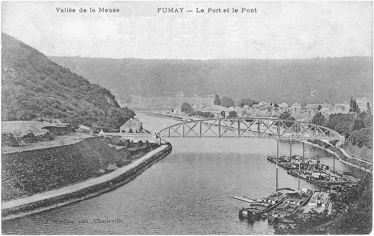
Français : Fumay (France - département des Ardennes) Vue sur la Meuse, le port et le pont routier.
|
| Date | circa 1900 |
| Source | Collection personnelle |
| Author | J. Winling, éditeur, Charleville |
| See the following file for the recto-verso version of the postcard:
|
 |
| Camera location | | View this and other nearby images on: OpenStreetMap |
|---|
Licensing
[edit]
|
This work is in the public domain in its country of origin and other countries and areas where the copyright term is the author's life plus 70 years or fewer. This work is in the public domain in the United States because it was published (or registered with the U.S. Copyright Office) before January 1, 1929. | |
| This file has been identified as being free of known restrictions under copyright law, including all related and neighboring rights. | |
File history
Click on a date/time to view the file as it appeared at that time.
| Date/Time | Thumbnail | Dimensions | User | Comment | |
|---|---|---|---|---|---|
| current | 21:58, 24 January 2021 | | 3,316 × 2,095 (4.11 MB) | Jpcuvelier (talk | contribs) | Uploaded a work by J. Winling, éditeur, Charleville from Collection personnelle with UploadWizard |
You cannot overwrite this file.
File usage on Commons
The following page uses this file: