File:View from Maple Pass.jpg
Jump to navigation
Jump to search

Size of this preview: 800 × 562 pixels. Other resolutions: 320 × 225 pixels | 640 × 450 pixels | 1,024 × 720 pixels | 1,280 × 900 pixels | 2,771 × 1,948 pixels.
Original file (2,771 × 1,948 pixels, file size: 2.24 MB, MIME type: image/jpeg)
Captions
Captions
Add a one-line explanation of what this file represents
Summary
[edit]
| Description |
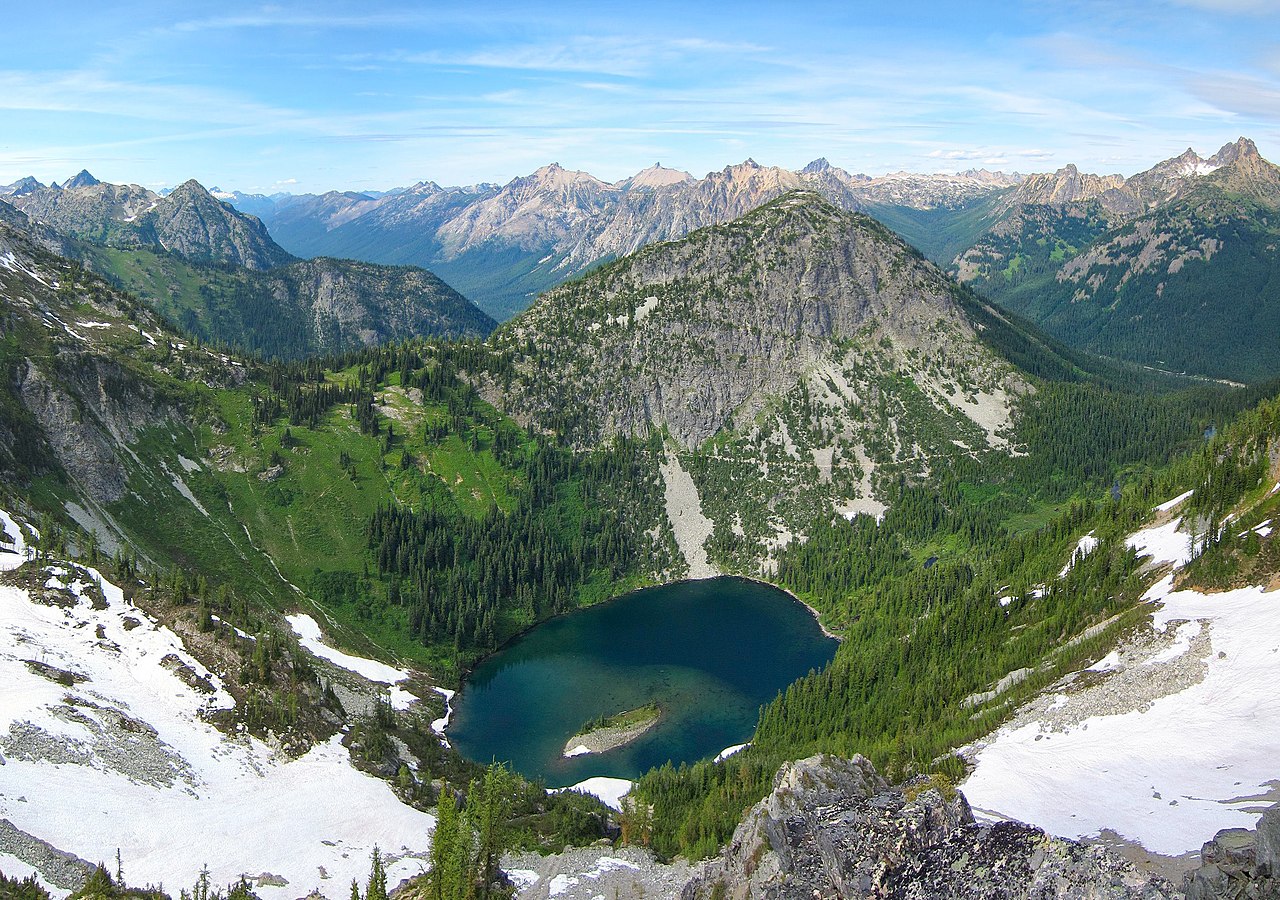
English: View of Ann Lake from Maple Pass in the Okanogan–Wenatchee National Forest, Washington |
| Date | |
| Source |
|
| Author | Miguel Vieira from Walnut Creek, CA, USA |
Licensing
[edit]
This file is licensed under the Creative Commons Attribution 2.0 Generic license.
- You are free:
- to share – to copy, distribute and transmit the work
- to remix – to adapt the work
- Under the following conditions:
- attribution – You must give appropriate credit, provide a link to the license, and indicate if changes were made. You may do so in any reasonable manner, but not in any way that suggests the licensor endorses you or your use.
| This image, originally posted to Flickr, was reviewed on 20 October 2012 by the administrator or reviewer File Upload Bot (Magnus Manske), who confirmed that it was available on Flickr under the stated license on that date. |
| Annotations | This image is annotated: View the annotations at Commons |
File history
Click on a date/time to view the file as it appeared at that time.
| Date/Time | Thumbnail | Dimensions | User | Comment | |
|---|---|---|---|---|---|
| current | 21:20, 20 October 2012 | | 2,771 × 1,948 (2.24 MB) | File Upload Bot (Magnus Manske) (talk | contribs) | Transferred from Flickr by User:Fredlyfish4 using flickr2commons |
You cannot overwrite this file.
File usage on Commons
There are no pages that use this file.
File usage on other wikis
The following other wikis use this file:
- Usage on ca.wikipedia.org
- Usage on de.wikipedia.org
- Usage on en.wikipedia.org
- Talk:Chelan County, Washington
- Talk:Douglas County, Washington
- Talk:Ferry County, Washington
- Talk:Grant County, Washington
- Talk:Okanogan County, Washington
- Omak, Washington
- List of national forests of the United States
- Talk:Cascade Range
- Talk:Ogopogo
- Okanogan–Wenatchee National Forest
- Talk:Okanagan
- Talk:Vernon, British Columbia
- Talk:Colville Indian Reservation
- Talk:Kelowna Rockets
- Talk:Kelowna
- Talk:Grand Coulee Dam
- Talk:List of mayors of Penticton
- Talk:Wenatchee, Washington
- Talk:Kelowna International Airport
- Talk:Big White Ski Resort
- Talk:Kelowna—Lake Country (federal electoral district)
- Talk:Okanagan—Shuswap
- Talk:Okanagan—Coquihalla
- Talk:Grant Warwick
- Talk:Daniel Powter
- Talk:Penticton
- Talk:Brent McMahon
- Talk:Andy Moog
- Talk:North Okanagan
- Talk:CBTK-FM
- Talk:Danbert Nobacon
- Talk:David Riske
- Talk:Westbank, British Columbia
- Talk:Chopaka Lake
- Talk:Bridgeport, Washington
- Talk:White Spot
- Talk:British Columbia Dragoons
- Talk:Pasayten Wilderness
- Talk:Lake Chelan-Sawtooth Wilderness
- Talk:Fido (film)
- Talk:Okanogan–Wenatchee National Forest
- Talk:Penticton Vees
- Talk:Vernon Vipers
- Talk:Okanagan Lake Bridge
- Talk:Nicola people
- Talk:Mount Boucherie
- Talk:School District 19 Revelstoke
View more global usage of this file.