File:Vinnytsia Oblast location map.png
Jump to navigation
Jump to search
No higher resolution available.
Vinnytsia_Oblast_location_map.png (533 × 562 pixels, file size: 44 KB, MIME type: image/png)
Captions
Captions
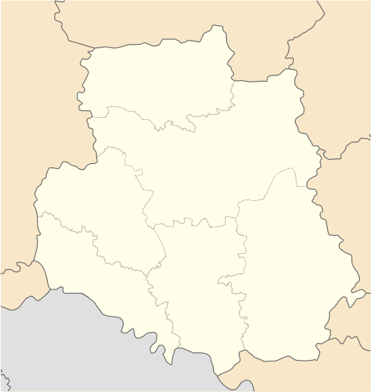
Districts of Vinnytsia region since July 17, 2020
Summary
[edit]
| Description |
English: Districts of Vinnytsia region since July 17, 2020
Русский: Районы Винницкой области с 17 июля 2020 года |
| Date | |
| Source | Own work |
| Author | RosssW |

|
File:Vinnytsa Oblast location map.svg is a vector version of this file. It should be used in place of this PNG file when not inferior.
File:Vinnytsia Oblast location map.png → File:Vinnytsa Oblast location map.svg
For more information, see Help:SVG. |
 |
Licensing
[edit]
I, the copyright holder of this work, hereby publish it under the following license:
This file is licensed under the Creative Commons Attribution-Share Alike 4.0 International license.
- You are free:
- to share – to copy, distribute and transmit the work
- to remix – to adapt the work
- Under the following conditions:
- attribution – You must give appropriate credit, provide a link to the license, and indicate if changes were made. You may do so in any reasonable manner, but not in any way that suggests the licensor endorses you or your use.
- share alike – If you remix, transform, or build upon the material, you must distribute your contributions under the same or compatible license as the original.
File history
Click on a date/time to view the file as it appeared at that time.
| Date/Time | Thumbnail | Dimensions | User | Comment | |
|---|---|---|---|---|---|
| current | 11:10, 14 August 2020 | | 533 × 562 (44 KB) | RosssW (talk | contribs) | корр. |
| 08:30, 14 August 2020 |  | 533 × 562 (44 KB) | RosssW (talk | contribs) | Uploaded own work with UploadWizard |
You cannot overwrite this file.
File usage on Commons
The following page uses this file:
- File:Vinnickaya oblast location map.png (file redirect)
File usage on other wikis
The following other wikis use this file:
- Usage on da.wikipedia.org
- Usage on en.wikipedia.org
- Bar, Ukraine
- Bratslav
- Vinnytsia
- Tulchyn
- Bershad
- Koziatyn
- Plyskiv
- Vapniarka
- Zhmerynka
- Khmilnyk
- Sharhorod
- Mohyliv-Podilskyi
- Haisyn
- Kalynivka, Vinnytsia Oblast
- Pohrebyshche
- Olhopil, Vinnytsia Oblast
- Makhnivka, Khmilnyk Raion, Vinnytsia Oblast
- Sobolivka, Haisyn Raion, Vinnytsia Oblast
- Tomashpil
- Shpykiv
- Chechelnyk
- Dzyhivka
- Busha
- Turbiv
- Marusyne, Vinnytsia Oblast
- Mykhailivka, Vinnytsia Oblast
- Ozaryntsi
- Kryzhopil
- Module:Location map/data/Ukraine Vinnytsia Oblast/doc
- Tyvriv
- Teplyk
View more global usage of this file.