File:Vodárna pod Klíčem.JPG
Jump to navigation
Jump to search

Size of this preview: 800 × 533 pixels. Other resolutions: 320 × 213 pixels | 640 × 427 pixels | 1,024 × 683 pixels | 1,280 × 853 pixels | 2,560 × 1,707 pixels | 3,648 × 2,432 pixels.
Original file (3,648 × 2,432 pixels, file size: 2.72 MB, MIME type: image/jpeg)
Captions
Captions
Add a one-line explanation of what this file represents
Summary
[edit]
| Description |
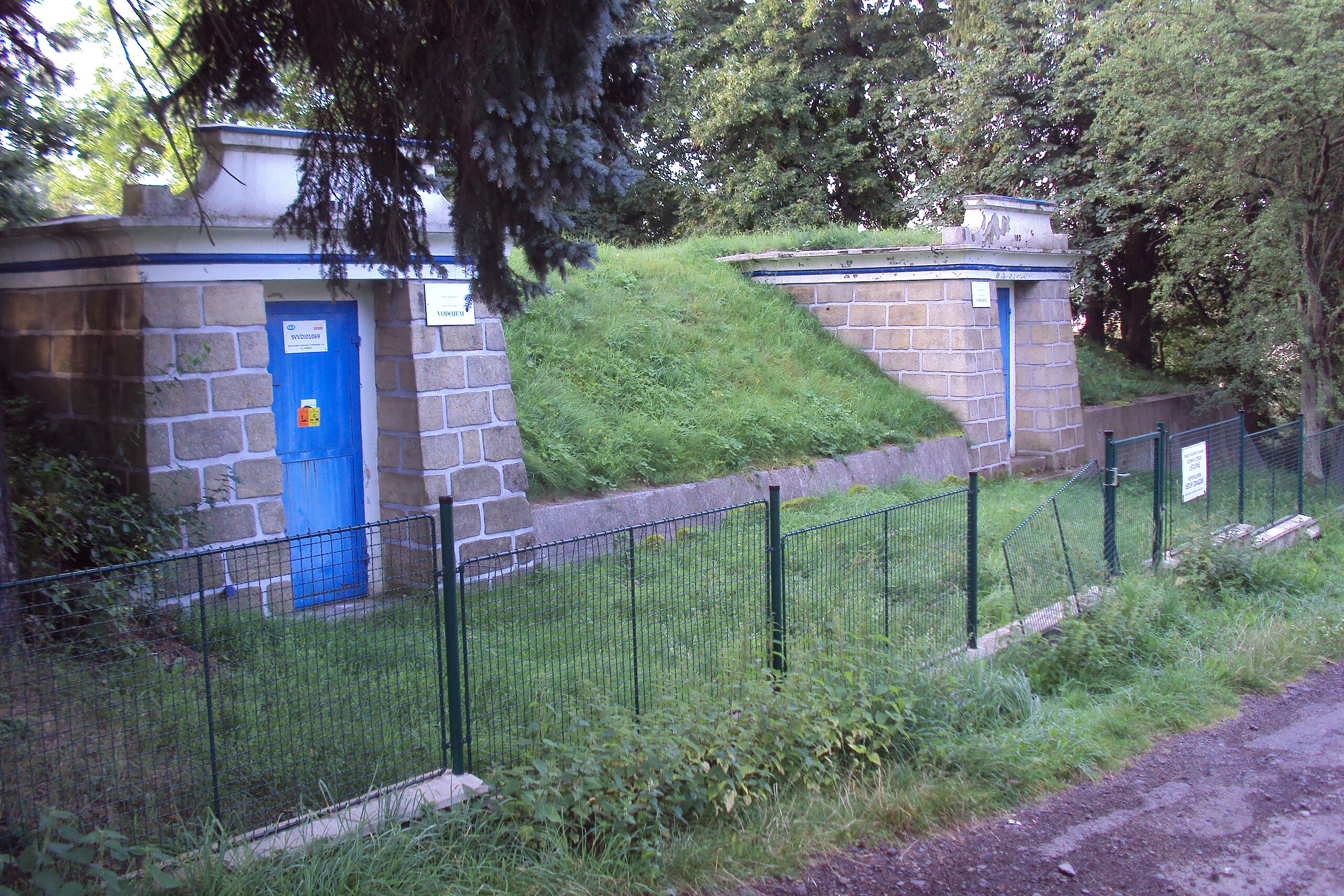
Čeština: Vodárenské zařízení (vodojem) na turistické cestě (červená E10) od Nového Boru k hoře Klíč |
| Date | |
| Source | Own work |
| Author | Zákupák |
| Object location | | View this and other nearby images on: OpenStreetMap |
|---|
Licensing
[edit]
| I, the copyright holder of this work, release this work into the public domain. This applies worldwide. In some countries this may not be legally possible; if so: I grant anyone the right to use this work for any purpose, without any conditions, unless such conditions are required by law. |
File history
Click on a date/time to view the file as it appeared at that time.
| Date/Time | Thumbnail | Dimensions | User | Comment | |
|---|---|---|---|---|---|
| current | 17:32, 13 August 2012 | | 3,648 × 2,432 (2.72 MB) | Zákupák (talk | contribs) | {{Information |Description ={{cs|1=Vodárenské zařízení (vodojem) na turistické cestě (červená E10) od Nového Boru k hoře Klíč}} |Source ={{own}} |Author =Zákupák |Date =2012-08-12 |Permissi... |
You cannot overwrite this file.
File usage on Commons
There are no pages that use this file.