File:Volcanic landscape taken from the hiking trail Reykjavegur, Iceland 09.jpg
Jump to navigation
Jump to search

Size of this preview: 800 × 507 pixels. Other resolutions: 320 × 203 pixels | 640 × 405 pixels | 1,024 × 649 pixels | 1,280 × 811 pixels | 2,560 × 1,622 pixels | 6,000 × 3,801 pixels.
Original file (6,000 × 3,801 pixels, file size: 11.69 MB, MIME type: image/jpeg)
Captions
Captions
Add a one-line explanation of what this file represents
Summary
[edit]
| Description |
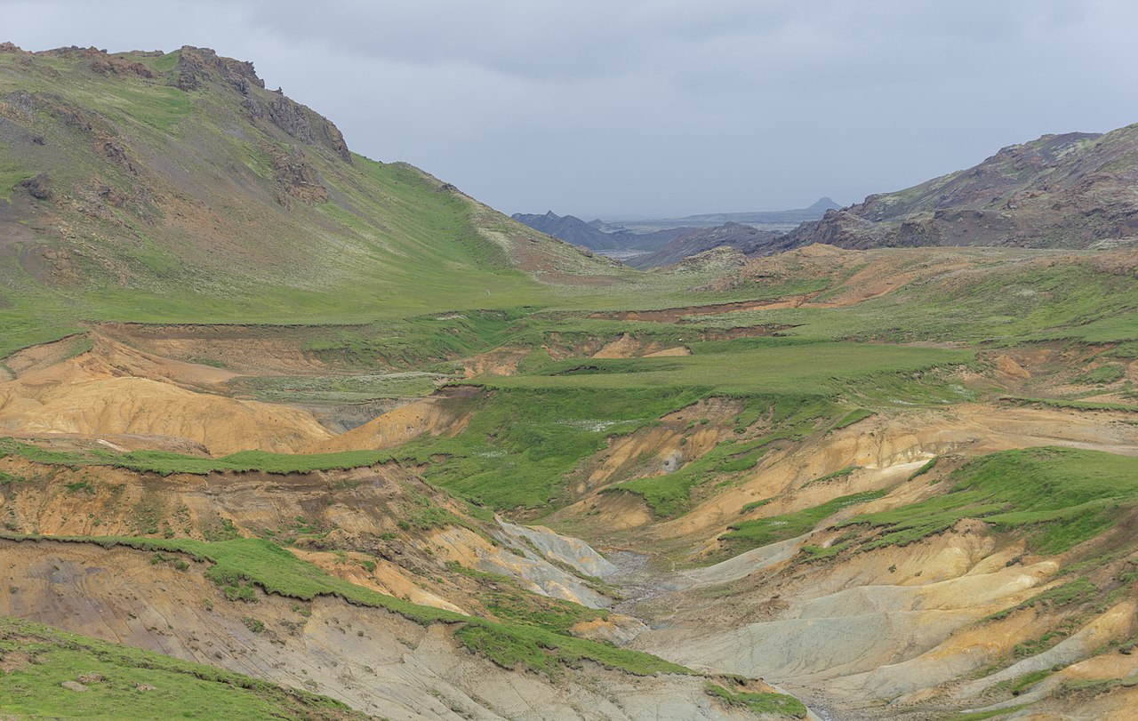
English: Volcanic landscape taken from the hiking trail Reykjavegur, Iceland |
| Date | |
| Source | Own work |
| Author | Michal Klajban |
| Object location | | View this and other nearby images on: OpenStreetMap |
|---|
Licensing
[edit]
I, the copyright holder of this work, hereby publish it under the following license:
This file is licensed under the Creative Commons Attribution-Share Alike 4.0 International license.
- You are free:
- to share – to copy, distribute and transmit the work
- to remix – to adapt the work
- Under the following conditions:
- attribution – You must give appropriate credit, provide a link to the license, and indicate if changes were made. You may do so in any reasonable manner, but not in any way that suggests the licensor endorses you or your use.
- share alike – If you remix, transform, or build upon the material, you must distribute your contributions under the same or compatible license as the original.
File history
Click on a date/time to view the file as it appeared at that time.
| Date/Time | Thumbnail | Dimensions | User | Comment | |
|---|---|---|---|---|---|
| current | 06:07, 16 April 2018 | | 6,000 × 3,801 (11.69 MB) | Podzemnik (talk | contribs) | User created page with UploadWizard |
You cannot overwrite this file.
File usage on Commons
There are no pages that use this file.
Metadata
Categories:
- Reykjavegur
- Krýsuvík (volcanic system)
- Grabens (geology) in Iceland
- Sogið (Krýsuvík volcanic system)
- Tectonic landforms in Reykjanes
- Hydrothermal alteration within the Krýsuvík volcanic system
- Grænavatnseggjar
- Grænadyngja
- Remote views of Keilir
- Volcano-tectonic landforms of the Reykjanes Peninsula (South-west Iceland)