File:Volgograd location map.svg
Jump to navigation
Jump to search

Size of this PNG preview of this SVG file: 713 × 600 pixels. Other resolutions: 285 × 240 pixels | 571 × 480 pixels | 913 × 768 pixels | 1,217 × 1,024 pixels | 2,434 × 2,048 pixels | 2,023 × 1,702 pixels.
Original file (SVG file, nominally 2,023 × 1,702 pixels, file size: 21.23 MB)
Captions
Captions
Volgograd location map
Summary[edit]
| Description |
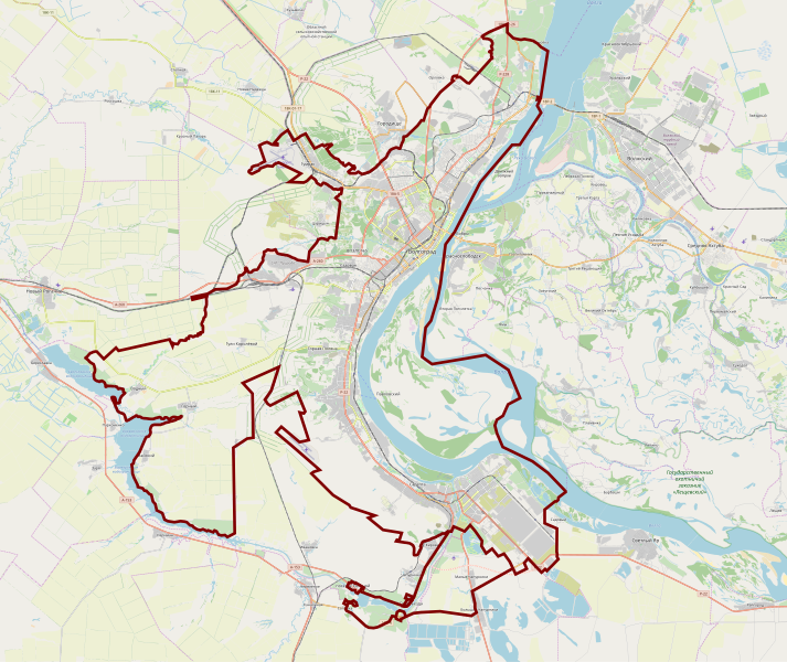
English: OpenStreetMap location map of Volgograd, Russia
|
| Date | |
| Source | OpenStreetMap |
| Author | OpenStreetMap contributors |
Licensing[edit]
| This work contains information from OpenStreetMap, which is made available under the Open Database License (ODbL).
The ODbL does not require any particular license for maps produced from ODbL data. Prior to 1 August 2020, map tiles produced by the OpenStreetMap Foundation were licensed under the CC-BY-SA-2.0 license. Maps produced by other people may be subject to other licences. |
File history
Click on a date/time to view the file as it appeared at that time.
| Date/Time | Thumbnail | Dimensions | User | Comment | |
|---|---|---|---|---|---|
| current | 20:47, 8 January 2020 | | 2,023 × 1,702 (21.23 MB) | Szczecinolog (talk | contribs) | User created page with UploadWizard |
You cannot overwrite this file.
File usage on Commons
There are no pages that use this file.
File usage on other wikis
The following other wikis use this file:
- Usage on fr.wikipedia.org
- Usage on fy.wikipedia.org
- Usage on pl.wikipedia.org
- Kurhan Mamaja
- Wołgograd (stacja kolejowa)
- Dom Pawłowa
- Fontanna Barmalej
- Matka Ojczyzna Wzywa!
- Port lotniczy Wołgograd
- Eparchia wołgogradzka
- Stadion Centralny w Wołgogradzie
- Most Wołgogradzki
- Kaczyńska Wojskowa Wyższa Szkoła Lotnicza Pilotów
- Metropolia wołgogradzka
- Zamach w autobusie w Wołgogradzie (2013)
- Zamachy w Wołgogradzie (grudzień 2013)
- Pomnik Wiktora Cholzunowa w Wołgogradzie
- Parafia św. Mikołaja w Wołgogradzie
- Moduł:Mapa/dane/Wołgograd
- Usage on pl.wikibooks.org