File:Volozhin raion location map.svg
Jump to navigation
Jump to search

Size of this PNG preview of this SVG file: 800 × 541 pixels. Other resolutions: 320 × 217 pixels | 640 × 433 pixels | 1,024 × 693 pixels | 1,280 × 866 pixels | 2,560 × 1,733 pixels.
Original file (SVG file, nominally 1,024 × 693 pixels, file size: 271 KB)
Captions
Captions
Add a one-line explanation of what this file represents
Summary
[edit]
| Description |
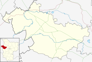
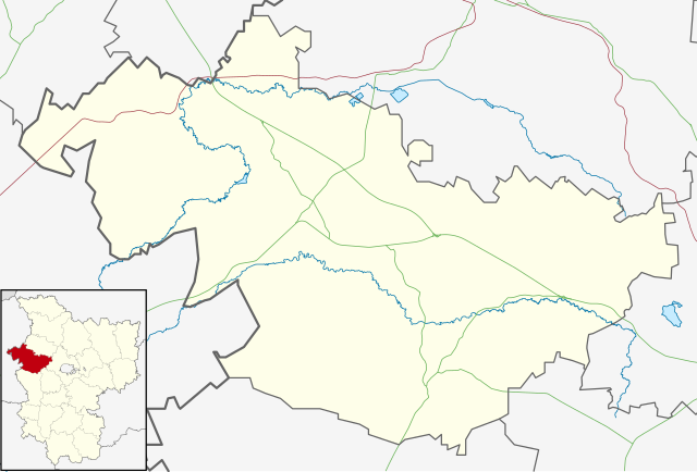
Русский: Позиционная карта Воложинского района (Минская область, Беларусь)
Цилиндрическая равноугольная проекция с координатами краёв:
|
| Date | |
| Source | Own work на основе карты из Openstreetmap |
| Author |
This W3C-unspecified vector image was created with Inkscape . |
Licensing
[edit]
I, the copyright holder of this work, hereby publish it under the following license:
This file is licensed under the Creative Commons Attribution-Share Alike 4.0 International license.
- You are free:
- to share – to copy, distribute and transmit the work
- to remix – to adapt the work
- Under the following conditions:
- attribution – You must give appropriate credit, provide a link to the license, and indicate if changes were made. You may do so in any reasonable manner, but not in any way that suggests the licensor endorses you or your use.
- share alike – If you remix, transform, or build upon the material, you must distribute your contributions under the same or compatible license as the original.
File history
Click on a date/time to view the file as it appeared at that time.
| Date/Time | Thumbnail | Dimensions | User | Comment | |
|---|---|---|---|---|---|
| current | 12:42, 29 December 2014 | | 1,024 × 693 (271 KB) | Dimitrius (talk | contribs) | User created page with UploadWizard |
You cannot overwrite this file.
File usage on Commons
There are no pages that use this file.
File usage on other wikis
The following other wikis use this file:
- Usage on be.wikipedia.org
- Usage on fr.wikipedia.org
- Usage on ru.wikipedia.org
- Воложин
- Участник:Dimitrius
- Ивенец
- Провжалы
- Городьки
- Кутенята
- Цаюны
- Борки (Воложинский район)
- Шаблон:ПозКарта Белоруссия Минская область Воложинский район
- Малая Лютинка (Минская область)
- Врублёвщина
- Десятники
- Забрезье
- Камень (Воложинский район)
- Киевец (Воложинский район)
- Пряльники
- Саковщина
- Словенск (Минская область)
- Падневичи
- Дайнова Большая
- Яршевичи
- Адамово (Воложинский район)
- Яхимовщина (Воложинский район)
- Забрезское кладбище
- Выгоничи (Белоруссия)
- Тишковщина
- Вертимы (Воложинский район)