File:WA-20.svg
跳至導覽
跳至搜尋

此 SVG 檔案的 PNG 預覽的大小:600 × 600 像素。 其他解析度:240 × 240 像素 | 480 × 480 像素 | 768 × 768 像素 | 1,024 × 1,024 像素 | 2,048 × 2,048 像素。
原始檔案 (SVG 檔案,表面大小:600 × 600 像素,檔案大小:8 KB)
說明
說明
添加單行說明來描述出檔案所代表的內容
摘要
[編輯]
| 描述 |
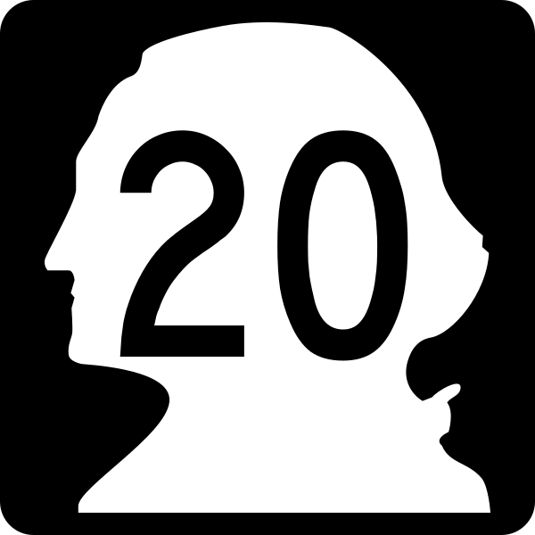
English: 24-by-24-inch (600 mm × 600 mm) Washington state highway route marker. |
| 日期 | (UTC) |
| 來源 | Washington State Department of Transportation |
| 作者 | Fredddie, originally by PHenry, et al |
授權條款
[編輯]
This file is in the public domain because it comes from the Washington Modification to the Manual on Uniform Traffic Control Devices, sign number M1-601, which states that "WSDOT adopted the [ Manual on Uniform Traffic Control Devices] 2009 on November 17, 2011. The MUTCD 2009 and Washington Modification are effective for use in Washington beginning December 19, 2011." The federal MUTCD states specifically on its page I-1 that:
No modifications supersede this provision of the MUTCD in Washington. |
檔案歷史
點選日期/時間以檢視該時間的檔案版本。
| 日期/時間 | 縮圖 | 尺寸 | 使用者 | 備註 | |
|---|---|---|---|---|---|
| 目前 | 2018年8月27日 (一) 04:06 | | 600 × 600(8 KB) | Fredddie(留言 | 貢獻) | |
| 2006年3月19日 (日) 03:54 |  | 600 × 600(4 KB) | PHenry(留言 | 貢獻) | Route shield for Washington State Route 20 {{GFDL}} |
無法覆蓋此檔案。
檔案用途
下列5個頁面有用到此檔案:
全域檔案使用狀況
以下其他 wiki 使用了這個檔案:
- bn.wikipedia.org 的使用狀況
- de.wikipedia.org 的使用狀況
- en.wikipedia.org 的使用狀況
- U.S. Route 101
- Skagit County, Washington
- Pend Oreille County, Washington
- Okanogan County, Washington
- Jefferson County, Washington
- Pacific Crest Trail
- Washington State Ferries
- U.S. Route 97
- Washington State Route 525
- List of state routes in Washington
- Washington State Route 20
- Washington State Route 9
- Deception Pass Bridge
- International Selkirk Loop
- Washington State Route 31
- Washington Pass
- 1964 state highway renumbering (Washington)
- Wikipedia:WikiProject U.S. Roads/Redirects/Washington
- Washington State Route 19
- Washington State Route 21
- List of highways numbered 20
- Washington State Route 25
- Washington State Route 530
- List of crossings of the Columbia River
- Washington State Route 536
- Washington State Route 153
- Interstate 5 in Washington
- Ferries in Washington (state)
- Washington (state)
- U.S. Route 2 in Washington
- U.S. Route 101 in Washington
- Washington State Route 155
- Template:Washington State Highways Barnstar
- State highways in Washington
- Washington State Route 237
- U.S. Route 395 in Washington
- U.S. Route 97 in Washington
- Washington State Route 211
- Washington State Route 215
- List of longest state highways in the United States
- Washington State Route 213
- User:Jasonfitz/Sandbox/Washington state highway shields
- Kettle Falls Bridges
- Template:State highways in Washington related to SR 20
- Numbered highways in the United States
檢視此檔案的更多全域使用狀況。