File:Waiting to Cross the Welland Canal, Thorold, Ontario (29951125686).jpg

Original file (4,000 × 3,000 pixels, file size: 3.98 MB, MIME type: image/jpeg)
Captions
Captions
Summary
[edit].jpg&action=edit§ion=1)
| Description |
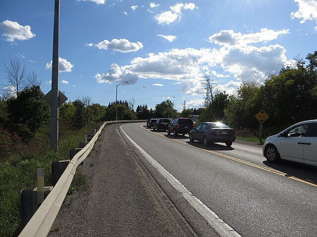
The Welland Canal is a ship canal in Ontario, Canada, connecting Lake Ontario and Lake Erie. It forms a key section of the St. Lawrence Seaway and Great Lakes Waterway. Traversing the Niagara Peninsula from Port Weller to Port Colborne, it enables ships to ascend and descend the Niagara Escarpment and bypass Niagara Falls. The canal carries about 3,000 ships which carry about 40,000,000 tons of cargo a year. It was a major factor in the growth of the city of Toronto, Ontario.[citation needed] The original canal and its successors allowed goods from Great Lakes ports such as Cleveland, Detroit, and Chicago, as well as heavily industrialized areas of the United States and Ontario, to be shipped to the port of Montreal or to Quebec City, where they were usually reloaded onto ocean-going vessels for international shipping. The Welland Canal eclipsed other, narrower canals in the region, such as the Trent-Severn Waterway and, significantly, the Erie Canal (which linked the Atlantic and Lake Erie via New York City and Buffalo, New York) by providing a shorter, more direct connection to Lake Erie. The southern, Lake Erie terminus of the canal is 99.5 metres (326 feet) higher than the northern terminus on Lake Ontario. The canal includes eight 24.4-metre-wide (80 ft) ship locks. Seven of the locks (Locks 1–7, the 'Lift' locks) are 233.5 m (766 ft) long and raise (or lower) passing ships by between 13 and 15 m (43 and 49 ft) each. The southernmost lock, (Lock 8 – the 'Guard' or 'Control' lock) is 349.9 m (1,148 ft) in length. The Garden City Skyway passes over the canal, restricting the maximum height of the masts of the ships allowed on this canal to 35.5 m (116 ft). All other highway or railroad crossings of the Welland Canal are either movable bridges (of the vertical lift or bascule bridge types) or subterranean tunnels. The maximum permissible length of a ship in this canal is 225.5 metres (740 feet). It takes ships an average of about eleven hours to traverse the entire length of the Welland Canal. <a href="https://en.wikipedia.org/wiki/Welland_Canal" rel="noreferrer nofollow">en.wikipedia.org/wiki/Welland_Canal</a> <a href="https://en.wikipedia.org/wiki/Wikipedia:Text_of_Creative_Commons_Attribution-ShareAlike_3.0_Unported_License" rel="noreferrer nofollow">en.wikipedia.org/wiki/Wikipedia:Text_of_Creative_Commons_...</a> |
| Date | |
| Source | Waiting to Cross the Welland Canal, Thorold, Ontario |
| Author | Ken Lund from Reno, Nevada, USA |
| Camera location | | View this and other nearby images on: OpenStreetMap |
|---|
.jpg¶ms=043.077400_N_-079.206409_E_globe:Earth_type:camera_source:Flickr_&language=en)
Licensing
[edit].jpg&action=edit§ion=2)
- You are free:
- to share – to copy, distribute and transmit the work
- to remix – to adapt the work
- Under the following conditions:
- attribution – You must give appropriate credit, provide a link to the license, and indicate if changes were made. You may do so in any reasonable manner, but not in any way that suggests the licensor endorses you or your use.
- share alike – If you remix, transform, or build upon the material, you must distribute your contributions under the same or compatible license as the original.
| This image was originally posted to Flickr by Ken Lund at https://flickr.com/photos/75683070@N00/29951125686. It was reviewed on 10 March 2022 by FlickreviewR 2 and was confirmed to be licensed under the terms of the cc-by-sa-2.0. |
File history
Click on a date/time to view the file as it appeared at that time.
| Date/Time | Thumbnail | Dimensions | User | Comment | |
|---|---|---|---|---|---|
| current | 18:59, 10 March 2022 | | 4,000 × 3,000 (3.98 MB) | Mindmatrix (talk | contribs) | Transferred from Flickr via #flickr2commons |
You cannot overwrite this file.
File usage on Commons
There are no pages that use this file.
.jpg&oldid=944977309)