File:Wansdyke UK ward map 1975 (blank).svg
Jump to navigation
Jump to search

Size of this PNG preview of this SVG file: 800 × 551 pixels. Other resolutions: 320 × 221 pixels | 640 × 441 pixels | 1,024 × 706 pixels | 1,280 × 882 pixels | 2,560 × 1,764 pixels | 1,425 × 982 pixels.
Original file (SVG file, nominally 1,425 × 982 pixels, file size: 892 KB)
Captions
Captions
Add a one-line explanation of what this file represents
Summary
[edit].svg&action=edit§ion=1)
| Description |
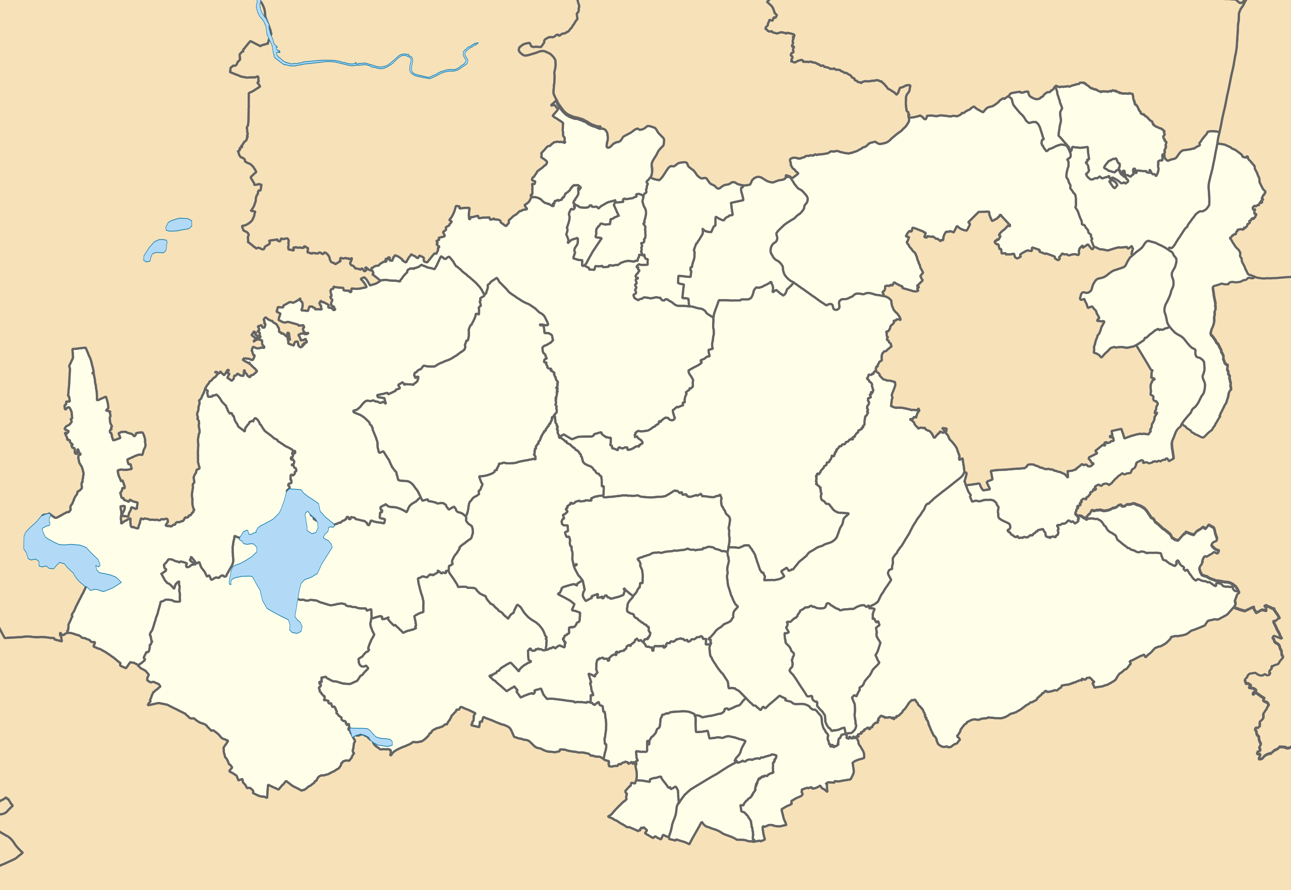
English: Map of Wansdyke, Avon, UK with electoral wards shown.
Equirectangular map projection on WGS 84 datum, with N/S stretched 155% Geographic limits: West: 2.72W East: 2.27W North: 51.46N South: 51.26N |
| Date | |
| Source |
|
| Author | Ytfc23, created using Ordnance Survey data |
Licensing
[edit].svg&action=edit§ion=2)
This file is licensed under the Creative Commons Attribution-Share Alike 3.0 Unported license.
Attribution: Contains Ordnance Survey data © Crown copyright and database right
- You are free:
- to share – to copy, distribute and transmit the work
- to remix – to adapt the work
- Under the following conditions:
- attribution – You must give appropriate credit, provide a link to the license, and indicate if changes were made. You may do so in any reasonable manner, but not in any way that suggests the licensor endorses you or your use.
- share alike – If you remix, transform, or build upon the material, you must distribute your contributions under the same or compatible license as the original.
File history
Click on a date/time to view the file as it appeared at that time.
| Date/Time | Thumbnail | Dimensions | User | Comment | |
|---|---|---|---|---|---|
| current | 22:00, 4 May 2020 | | 1,425 × 982 (892 KB) | Ytfc23 (talk | contribs) | Uploaded a work by Ytfc23, created using Ordnance Survey data from Ordnance Survey [https://www.ordnancesurvey.co.uk/opendatadownload/products.html OpenData]. *Coastline and administrative boundary data from Boundary-Line product. *Lake data from Meridian 2 product. with UploadWizard |
You cannot overwrite this file.
File usage on Commons
The following 5 pages use this file:
File usage on other wikis
The following other wikis use this file:
- Usage on en.wikipedia.org
.svg&oldid=634977290)