File:West Virginia Congressional Districts, 113th Congress.tif
跳转到导航
跳转到搜索

此TIF文件的PNG预览的大小:713 × 599像素。 其他分辨率:286 × 240像素 | 571 × 480像素 | 914 × 768像素 | 1,219 × 1,024像素 | 1,347 × 1,132像素。
原始文件 (1,347 × 1,132像素,文件大小:404 KB,MIME类型:image/tiff)
说明
说明
添加一行文字以描述该文件所表现的内容
摘要
[编辑]| 描述 |
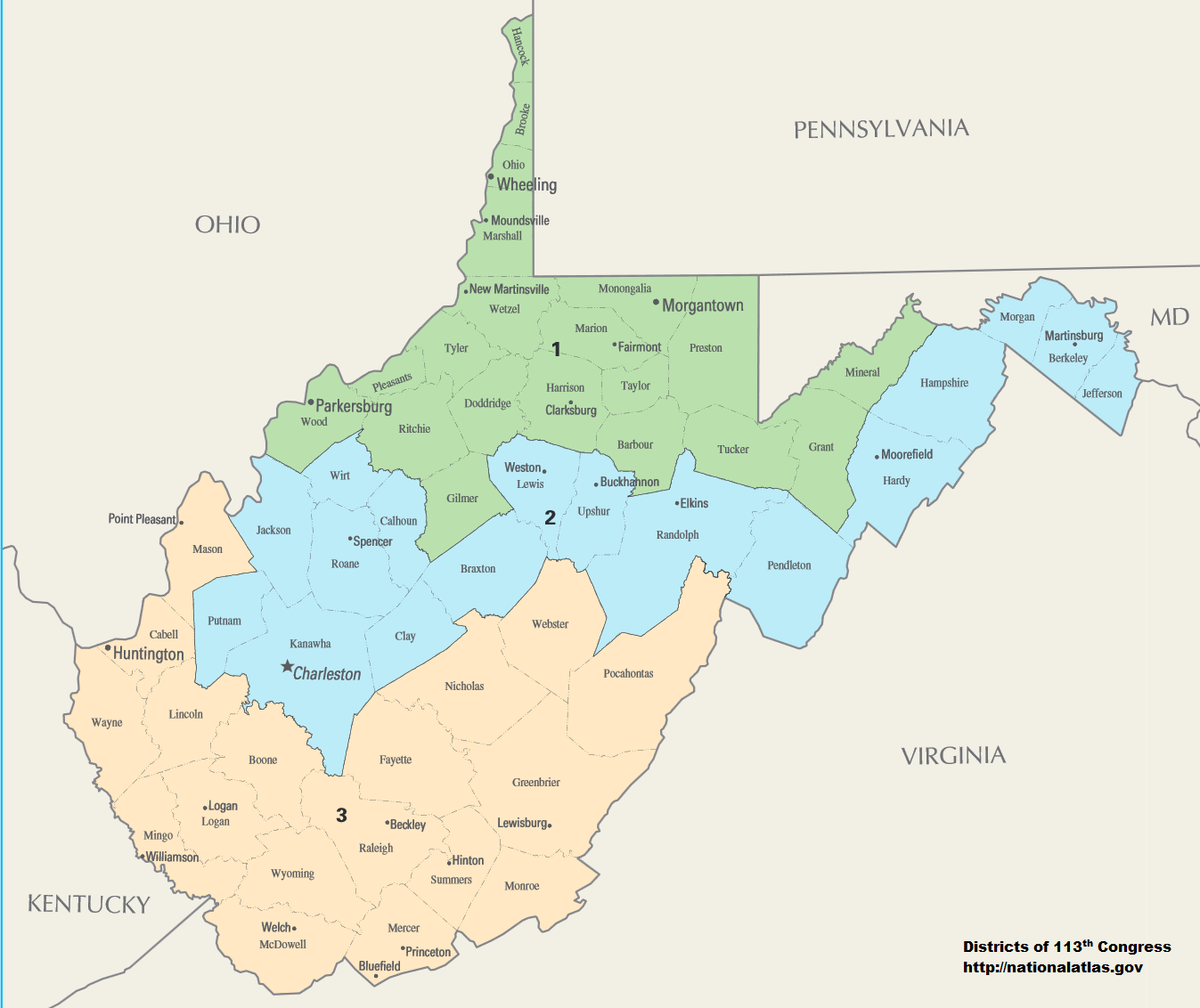
English: Map of Congressional Districts in the state of West Virginia, reflecting district boundaries current to the 113th United States Congress. |
| 日期 | |
| 来源 | National Atlas of the United States (http://nationalatlas.gov/printable/congress.html) |
| 作者 | Department of the Interior |
| 授权 (二次使用本文件) |
This image is free information provided by the department of the interior. It was downloaded from http://nationalatlas.gov/printable/congress.html. All of that information has been provided in the captions, I'm not sure what other information is required. --7partparadigm talk 02:35, 8 February 2014 (UTC) |
许可协议
[编辑]| This image or media file contains material based on a work of a United States Department of the Interior employee, created as part of that person's official duties. As a work of the U.S. federal government, such work is in the public domain in the United States. See the Department of the Interior copyright policy for more information. |  |
文件历史
点击某个日期/时间查看对应时刻的文件。
| 日期/时间 | 缩略图 | 大小 | 用户 | 备注 | |
|---|---|---|---|---|---|
| 当前 | 2014年2月2日 (日) 06:01 |  | 1,347 × 1,132(404 KB) | 7partparadigm(留言 | 贡献) | User created page with UploadWizard |
您不可以覆盖此文件。
文件用途
没有页面使用本文件。
全域文件用途
以下其他wiki使用此文件:
- fa.wikipedia.org上的用途
- ru.wikipedia.org上的用途
- uk.wikipedia.org上的用途
- zh.wikipedia.org上的用途