File:White Cap Peak ID.jpg
Jump to navigation
Jump to search

Size of this preview: 800 × 428 pixels. Other resolutions: 320 × 171 pixels | 640 × 343 pixels | 1,024 × 548 pixels | 1,280 × 685 pixels | 2,340 × 1,253 pixels.
Original file (2,340 × 1,253 pixels, file size: 789 KB, MIME type: image/jpeg)
Captions
Captions
Add a one-line explanation of what this file represents
Summary[edit]
| Description |
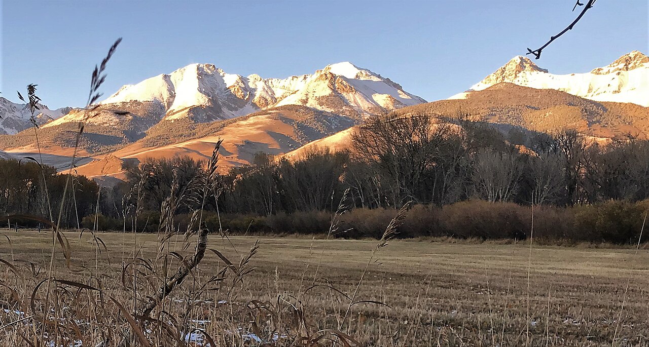
English: White Cap Peak centered. Lost River Range of Idaho |
| Date | |
| Source | File:2018-10-17-IMG 4570 (45751856431).jpg |
| Author | Intermountain Forest Service, USDA Region 4 Photography |
.jpg)
| Camera location | | View this and other nearby images on: OpenStreetMap |
|---|
Licensing[edit]
This image is a work of the Forest Service of the United States Department of Agriculture. As a work of the U.S. federal government, the image is in the public domain.
|
| Annotations | This image is annotated: View the annotations at Commons |
File history
Click on a date/time to view the file as it appeared at that time.
| Date/Time | Thumbnail | Dimensions | User | Comment | |
|---|---|---|---|---|---|
| current | 08:03, 30 September 2022 | | 2,340 × 1,253 (789 KB) | Ron Clausen (talk | contribs) | Uploaded a work by Intermountain Forest Service, USDA Region 4 Photography from File:2018-10-17-IMG 4570 (45751856431).jpg with UploadWizard |
You cannot overwrite this file.
File usage on Commons
There are no pages that use this file.
File usage on other wikis
The following other wikis use this file:
- Usage on en.wikipedia.org