File:White Rock, Bridger Wilderness.jpg
Jump to navigation
Jump to search
Size of this preview: 800 × 567 pixels. Other resolutions: 320 × 227 pixels | 640 × 454 pixels | 1,024 × 726 pixels | 1,280 × 908 pixels | 2,472 × 1,753 pixels.
Original file (2,472 × 1,753 pixels, file size: 906 KB, MIME type: image/jpeg)
Captions
Captions
Add a one-line explanation of what this file represents
Summary[edit]
| Description |
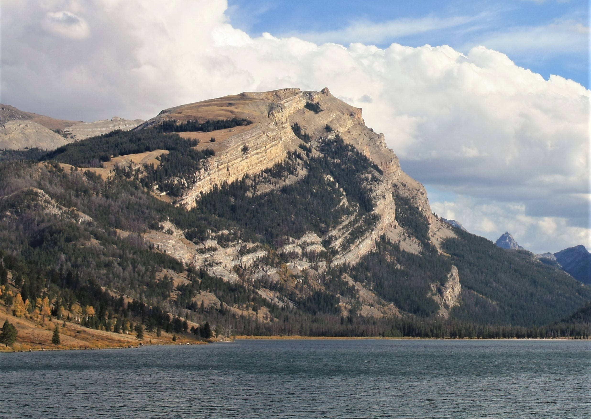
English: White Rock from lower Green River Lake in the Bridger Wilderness on the Pinedale Ranger District of the Bridger-Teton National Forest, Wyoming. |
| Date | |
| Source | https://www.flickr.com/photos/usforestservice/41369527010/ |
| Author | Forest Service, USDA |
| Camera location | | View this and other nearby images on: OpenStreetMap |
|---|
Licensing[edit]
| This image was originally posted to Flickr by Forest Service Photography at https://flickr.com/photos/140082569@N07/41369527010. It was reviewed on 27 July 2021 by FlickreviewR 2 and was confirmed to be licensed under the terms of the Public Domain Mark. |
This image is a work of the Forest Service of the United States Department of Agriculture. As a work of the U.S. federal government, the image is in the public domain.
|
File history
Click on a date/time to view the file as it appeared at that time.
| Date/Time | Thumbnail | Dimensions | User | Comment | |
|---|---|---|---|---|---|
| current | 05:05, 27 July 2021 | | 2,472 × 1,753 (906 KB) | Ron Clausen (talk | contribs) | crop, exposure |
| 05:02, 27 July 2021 |  | 4,272 × 2,848 (3.3 MB) | Ron Clausen (talk | contribs) | Uploaded a work by Forest Service, USDA from https://www.flickr.com/photos/usforestservice/41369527010/ with UploadWizard |
You cannot overwrite this file.
File usage on Commons
There are no pages that use this file.
File usage on other wikis
The following other wikis use this file:
- Usage on en.wikipedia.org