File:Województwo pomorskie-population density map.png
Jump to navigation
Jump to search
Size of this preview: 738 × 600 pixels. Other resolutions: 295 × 240 pixels | 591 × 480 pixels | 945 × 768 pixels | 1,260 × 1,024 pixels | 1,968 × 1,600 pixels.
Original file (1,968 × 1,600 pixels, file size: 68 KB, MIME type: image/png)
Captions
Captions
Add a one-line explanation of what this file represents
Summary[edit]
| Description |
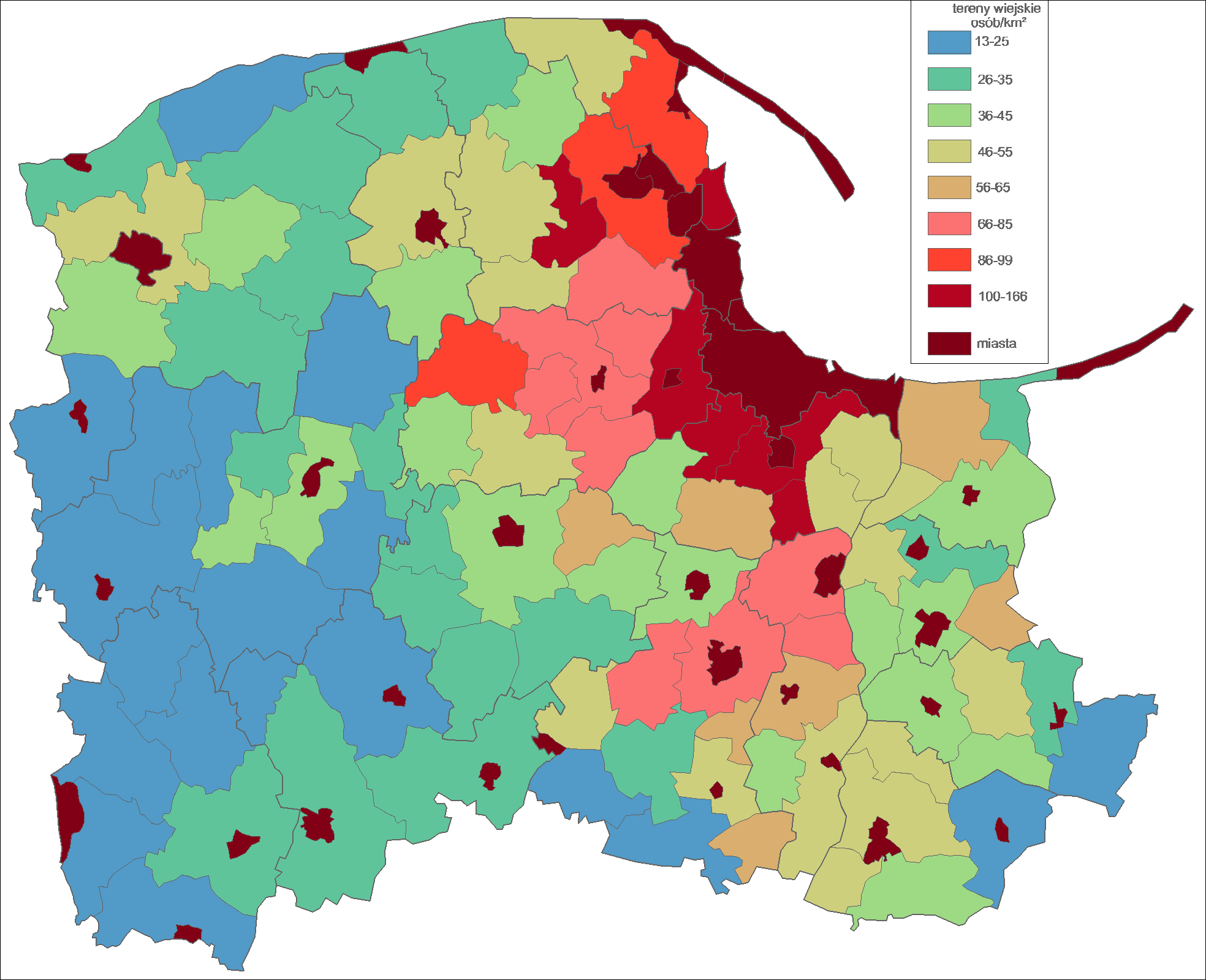
Polski: Województwo pomorskie. Opracowanie własne Bogomolov.PL .
Dane na podstawie GUS, stan 31 XII 2006. |
| Date | 16 January 2008 (original upload date) |
| Source | Transferred from pl.wikipedia to Commons by Pjahr using CommonsHelper. |
| Author | Bogomolov.PL at Polish Wikipedia |
Licensing[edit]
| This work has been released into the public domain by its author, Bogomolov.PL at Polish Wikipedia. This applies worldwide. In some countries this may not be legally possible; if so: Bogomolov.PL grants anyone the right to use this work for any purpose, without any conditions, unless such conditions are required by law. |
Original upload log[edit]
The original description page was here. All following user names refer to pl.wikipedia.
- 2008-01-16 18:21 Bogomolov.PL 1968×1600× (70143 bytes) Opracowanie własne Bogomolov.PL . Dane na podstawie GUS, stan 31 XII 2006. Granice gmin, miast i powiatów en:Rarelibra (do wlasności publicznej)
File history
Click on a date/time to view the file as it appeared at that time.
| Date/Time | Thumbnail | Dimensions | User | Comment | |
|---|---|---|---|---|---|
| current | 18:25, 10 December 2009 | | 1,968 × 1,600 (68 KB) | File Upload Bot (Magnus Manske) (talk | contribs) | {{BotMoveToCommons|pl.wikipedia|year={{subst:CURRENTYEAR}}|month={{subst:CURRENTMONTHNAME}}|day={{subst:CURRENTDAY}}}} {{Information |Description={{pl|Opracowanie własne Bogomolov.PL . Dane na podstawie GUS, stan 31 XII 2006.}} |Source=Transferred from |
You cannot overwrite this file.
File usage on Commons
There are no pages that use this file.
File usage on other wikis
The following other wikis use this file:
- Usage on crh.wikipedia.org
- Usage on pl.wikipedia.org
- Usage on pt.wikipedia.org
- Usage on ru.wikipedia.org