File:Września (gmina) location map.png
Jump to navigation
Jump to search
Size of this preview: 602 × 600 pixels. Other resolutions: 241 × 240 pixels | 482 × 480 pixels | 833 × 830 pixels.
Original file (833 × 830 pixels, file size: 191 KB, MIME type: image/png)
Captions
Captions
Add a one-line explanation of what this file represents
| Description |
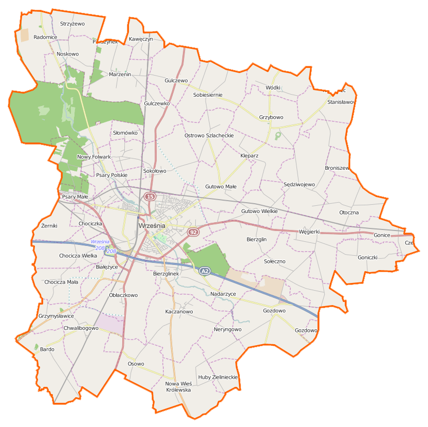
Polski: Mapa gminy Września, Polska
English: Map of Gmina Września, Poland |
|||||||||
| Date | ||||||||||
| Source | You may find a page on the OpenStreetMap wiki page for Września (gmina) | |||||||||
| Creator |
OpenStreetMap contributors OpenStreetMap contributors |
|||||||||
| Permission (Reusing this file) |
OpenStreetMap data is available under the Open Database License (details). Map tiles are licensed under the Creative Commons Attribution-ShareAlike 2.0 license (CC-BY-SA 2.0).
This file is licensed under the Creative Commons Attribution-Share Alike 2.0 Generic license.
|
|||||||||
| Geotemporal data | ||||||||||
| Bounding box |
|
|||||||||
| Georeferencing | If inappropriate please set warp_status = skip to hide. | |||||||||
File history
Click on a date/time to view the file as it appeared at that time.
| Date/Time | Thumbnail | Dimensions | User | Comment | |
|---|---|---|---|---|---|
| current | 12:14, 5 January 2015 | | 833 × 830 (191 KB) | VanWiel (talk | contribs) | {{OpenStreetMap | name = Września (gmina) | location = Września (gmina) | description = {{pl|Mapa gminy Września, Polska}} {{en|Map of Gmina Września, Poland}} | top = 52.4169 | bottom = 52.2431... |
You cannot overwrite this file.
File usage on Commons
There are no pages that use this file.
File usage on other wikis
The following other wikis use this file:
- Usage on de.wikipedia.org
- Usage on fr.wikipedia.org
- Usage on pl.wikipedia.org
- Września
- Grzybowo (powiat wrzesiński)
- Września (gmina)
- Białężyce
- Chocicza Mała
- Chocicza Wielka
- Chociczka
- Gonice
- Goniczki
- Grzymysławice
- Gulczewko
- Gutowo Małe
- Gutowo Wielkie
- Kaczanowo
- Kleparz (wieś)
- Marzelewo
- Neryngowo
- Obłaczkowo
- Ostrowo Szlacheckie
- Otoczna
- Przyborki
- Psary Małe
- Psary Polskie
- Psary Wielkie
- Sołeczno
- Sędziwojewo
- Węgierki
- Wódki
- Bardo (województwo wielkopolskie)
- Gozdowo (województwo wielkopolskie)
- Gulczewo (województwo wielkopolskie)
- Marzenin (województwo wielkopolskie)
- Noskowo (województwo wielkopolskie)
- Nowa Wieś Królewska (województwo wielkopolskie)
- Radomice (województwo wielkopolskie)
- Sobiesiernie (województwo wielkopolskie)
- Stanisławowo (powiat wrzesiński)
- Broniszewo (powiat wrzesiński)
- Chwalibogowo (powiat wrzesiński)
- Kawęczyn (powiat wrzesiński)
- Nadarzyce (powiat wrzesiński)
- Nowy Folwark (powiat wrzesiński)
- Osowo (powiat wrzesiński)
- Słomowo (powiat wrzesiński)
- Sokołowo (powiat wrzesiński)
- Strzyżewo (powiat wrzesiński)
- Żerniki (powiat wrzesiński)
- Września (stacja kolejowa)
View more global usage of this file.
_location_map.png)
_location_map.png&oldid=506256194)