File:Yaeyama kamiji COK20088X-C1+C2.jpg
Jump to navigation
Jump to search

Size of this preview: 600 × 600 pixels. Other resolutions: 240 × 240 pixels | 480 × 480 pixels | 768 × 768 pixels | 1,024 × 1,024 pixels | 1,600 × 1,600 pixels.
Original file (1,600 × 1,600 pixels, file size: 610 KB, MIME type: image/jpeg)
Captions
Captions
Add a one-line explanation of what this file represents
Summary
[edit]
| Description |
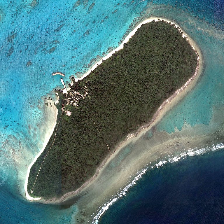
日本語: 2008年に撮影された新城島(上地島)
English: Aragusuku Island (Kamiji Island) taken in 2008 |
| Date | |
| Source |
English: Aerial photo numbered Reference number: COK20088X, cource number: C1, photo numbers: 1-3 on map & aerial photo browsing service 日本語: 地図・空中写真閲覧サービス上の整理番号: COK20088X・コース番号: C1・写真番号: 1-3の空中写真 |
| Author |
日本語: 国土地理院 |
Licensing
[edit]

|
This work is licensed under the Government of Japan Standard Terms of Use (Ver.2.0). The Terms of Use are compatible with the Creative Commons Attribution License 4.0 International. For the terms of use of this work, see this license page.
|
This file is licensed under the Creative Commons Attribution 4.0 International license.
- You are free:
- to share – to copy, distribute and transmit the work
- to remix – to adapt the work
- Under the following conditions:
- attribution – You must give appropriate credit, provide a link to the license, and indicate if changes were made. You may do so in any reasonable manner, but not in any way that suggests the licensor endorses you or your use.
File history
Click on a date/time to view the file as it appeared at that time.
| Date/Time | Thumbnail | Dimensions | User | Comment | |
|---|---|---|---|---|---|
| current | 05:27, 4 May 2020 | | 1,600 × 1,600 (610 KB) | Paipateroma (talk | contribs) | Uploaded a work by {{en|Geospatial Information Authority of Japan}}{{ja|国土地理院}} from {{en|Aerial photo numbered Reference number: COK20088X, cource number: C1, photo numbers: 1-3 on [http://mapps.gsi.go.jp map & aerial photo browsing service]}}{{ja|[http://mapps.gsi.go.jp 地図・空中写真閲覧サービス]上の整理番号: COK20088X・コース番号: C1・写真番号: 1-3の空中写真}} with UploadWizard |
You cannot overwrite this file.
File usage on Commons
There are no pages that use this file.