File:Yagan Railway Line Ojika-Kōgen 2.JPG
Jump to navigation
Jump to search
Size of this preview: 780 × 600 pixels. Other resolutions: 312 × 240 pixels | 624 × 480 pixels | 999 × 768 pixels | 1,280 × 985 pixels | 1,603 × 1,233 pixels.
Original file (1,603 × 1,233 pixels, file size: 930 KB, MIME type: image/jpeg)
Captions
Captions
Add a one-line explanation of what this file represents
Summary
[edit]
| Description |
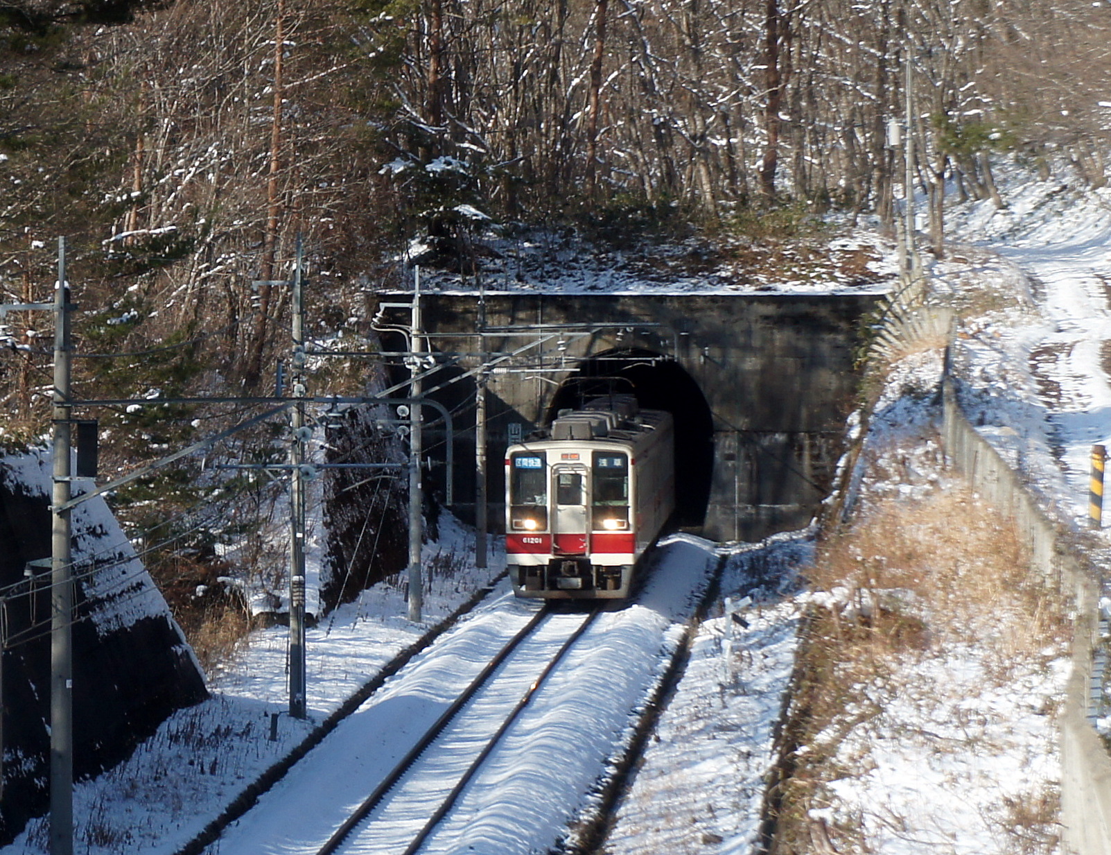
日本語: 野岩鉄道会津鬼怒川線の山王トンネルの栃木県側坑門付近を走る電車。男鹿高原駅より撮影。 |
| Date | 21 December 2011, 12:54 |
| Source | Own work |
| Author | まも (Mamo) |
| Camera location | | View this and other nearby images on: OpenStreetMap |
|---|
Licensing
[edit]
I, the copyright holder of this work, hereby publish it under the following license:
| This file is made available under the Creative Commons CC0 1.0 Universal Public Domain Dedication. | |
| The person who associated a work with this deed has dedicated the work to the public domain by waiving all of their rights to the work worldwide under copyright law, including all related and neighboring rights, to the extent allowed by law. You can copy, modify, distribute and perform the work, even for commercial purposes, all without asking permission.
|
File history
Click on a date/time to view the file as it appeared at that time.
| Date/Time | Thumbnail | Dimensions | User | Comment | |
|---|---|---|---|---|---|
| current | 11:57, 10 February 2012 | | 1,603 × 1,233 (930 KB) | まも (talk | contribs) |
You cannot overwrite this file.
File usage on Commons
There are no pages that use this file.
File usage on other wikis
The following other wikis use this file:
- Usage on ja.wikipedia.org