File:Ys-11 2006-9-10-01.jpg
Jump to navigation
Jump to search
Size of this preview: 800 × 533 pixels. Other resolutions: 320 × 213 pixels | 640 × 427 pixels | 1,024 × 683 pixels | 1,200 × 800 pixels.
Original file (1,200 × 800 pixels, file size: 828 KB, MIME type: image/jpeg)
Captions
Captions
Add a one-line explanation of what this file represents
Summary
[edit]| Description |
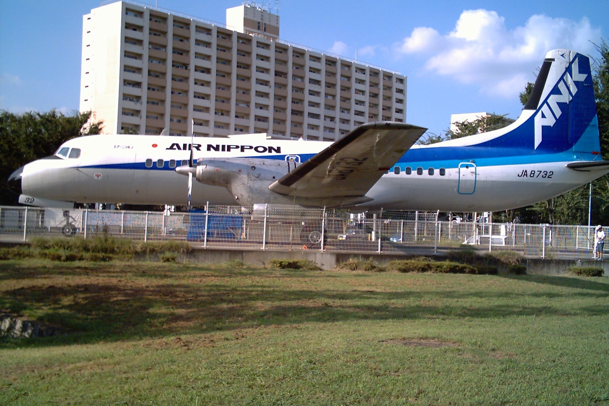
日本語: 航空公園 (所沢航空記念公園)
English: Kōkū-kōen Park (Tokorozawa Aviation Commemorative Park) - Tokorozawa city, Saitama Pref.,Japan. |
| Date | |
| Source | Own work |
| Author | Tokoroten |
| Other versions |
|


| Camera location | | View this and other nearby images on: OpenStreetMap |
|---|
| I, the copyright holder of this work, release this work into the public domain. This applies worldwide. In some countries this may not be legally possible; if so: I grant anyone the right to use this work for any purpose, without any conditions, unless such conditions are required by law. |
| Annotations | This image is annotated: View the annotations at Commons |

File history
Click on a date/time to view the file as it appeared at that time.
| Date/Time | Thumbnail | Dimensions | User | Comment | |
|---|---|---|---|---|---|
| current | 21:44, 30 September 2006 | | 1,200 × 800 (828 KB) | Tokoroten (talk | contribs) | 以前のバージョンへの差し戻し (Reverted to earlier revision) |
| 21:40, 30 September 2006 | 1,168 × 478 (259 KB) | Tokoroten (talk | contribs) | |||
| 20:33, 24 September 2006 |  | 1,200 × 800 (828 KB) | Tokoroten (talk | contribs) | Tokorozawa_Koku Koen Park Saitama pref Japan *photography day, 2006/9/10 *photography person Tokoroten ja:所沢航空記念公園 Category:Tokorozawa, Saitama |
You cannot overwrite this file.
File usage on Commons
The following 5 pages use this file:
File usage on other wikis
The following other wikis use this file:
- Usage on ja.wikipedia.org
- Usage on ko.wikipedia.org