File:Zatory (gmina) location map.png
Jump to navigation
Jump to search
Size of this preview: 581 × 600 pixels. Other resolutions: 233 × 240 pixels | 465 × 480 pixels | 781 × 806 pixels.
Original file (781 × 806 pixels, file size: 137 KB, MIME type: image/png)
Captions
Captions
Add a one-line explanation of what this file represents
| Description |
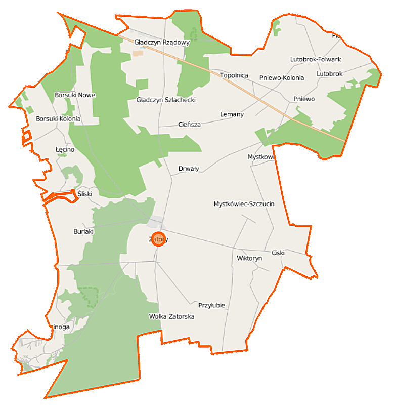
Polski: Mapa gminy Zatory, Polska
English: Map of Gmina Zatory, Poland |
|||||||||
| Date | ||||||||||
| Source | You may find a page on the OpenStreetMap wiki page for Zatory (gmina) | |||||||||
| Creator |
OpenStreetMap contributors OpenStreetMap contributors |
|||||||||
| Permission (Reusing this file) |
OpenStreetMap data is available under the Open Database License (details). Map tiles are licensed under the Creative Commons Attribution-ShareAlike 2.0 license (CC-BY-SA 2.0).
This file is licensed under the Creative Commons Attribution-Share Alike 2.0 Generic license.
|
|||||||||
| Geotemporal data | ||||||||||
| Bounding box |
|
|||||||||
| Georeferencing | If inappropriate please set warp_status = skip to hide. | |||||||||
File history
Click on a date/time to view the file as it appeared at that time.
| Date/Time | Thumbnail | Dimensions | User | Comment | |
|---|---|---|---|---|---|
| current | 12:33, 29 September 2014 | | 781 × 806 (137 KB) | VanWiel (talk | contribs) | {{OpenStreetMap | name = Zatory (gmina) | location = Zatory (gmina) | description = {{pl|Mapa gminy Zatory, Polska}} {{en|Map of Gmina Zatory, Poland}} | top = 52.6849 | left = 21.0975 | right... |
You cannot overwrite this file.
File usage on Commons
There are no pages that use this file.
File usage on other wikis
The following other wikis use this file:
- Usage on fr.wikipedia.org
- Usage on pl.wikipedia.org
- Zatory (gmina)
- Zatory
- Borsuki-Kolonia
- Burlaki
- Cieńsza
- Ciski
- Gładczyn
- Gładczyn Rządowy (wieś)
- Gładczyn Szlachecki
- Kruczy Borek
- Lutobrok
- Lutobrok-Folwark
- Łęcino
- Mystkówiec-Kalinówka
- Mystkówiec-Szczucin
- Nowe Borsuki
- Pniewo-Kolonia
- Stawinoga
- Śliski
- Topolnica (Polska)
- Wólka Zatorska
- Lemany (województwo mazowieckie)
- Przyłubie (województwo mazowieckie)
- Wiktoryn (województwo mazowieckie)
- Dębiny (powiat pułtuski)
- Drwały (powiat pułtuski)
- Mierzęcin (powiat pułtuski)
- Pniewo (powiat pułtuski)
- Rezerwat przyrody Stawinoga
- Malwinowo
- Kępa Zatorska
- Parafia św. Małgorzaty w Zatorach
- Rezerwat przyrody Wielgolas
- Dwór w Gładczynie
- Holendry (powiat pułtuski)
- Kopaniec (województwo mazowieckie)
- Okopy (Śliski)
- Borsuki-Gajówka
- Gładczyn Rządowy (osada leśna)
- Kępa Zatorska-Gajówka
- Pniewo-Gajówka
- Pniewo-Leśniczówka
- Stawinoga-Leśniczówka
- Stawinoga-Rybakówka
- Wólka Zatorska-Gajówka
- Wielęcin (powiat pułtuski)
- Moduł:Mapa/dane/Zatory (gmina)
- Biele (Zatory)
- Ostrówek (Zatory)
View more global usage of this file.
_location_map.png)
_location_map.png&oldid=493410708)