File:Zelów (gmina) location map.png

Original file (2,050 × 1,941 pixels, file size: 615 KB, MIME type: image/png)
Captions
Captions
Summary[edit]
_location_map.png&action=edit§ion=1)
| Description |
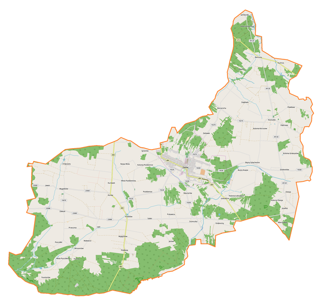
English: Location map |
| Date | |
| Source | Own work |
| Author | Smat |
| Description |
Polski: Mapa gminy Zelów, Polska
English: Map of Zelów (gmina), Poland |
|||||||||
| Date | ||||||||||
| Source | You may find a page on the OpenStreetMap wiki page for Zelów (gmina) | |||||||||
| Creator |
OpenStreetMap contributors OpenStreetMap contributors |
|||||||||
| Permission (Reusing this file) |
OpenStreetMap data is available under the Open Database License (details). Map tiles are licensed under the Creative Commons Attribution-ShareAlike 2.0 license (CC-BY-SA 2.0).
This file is licensed under the Creative Commons Attribution-Share Alike 2.0 Generic license.
|
|||||||||
| Geotemporal data | ||||||||||
| Bounding box |
|
|||||||||
| Georeferencing | If inappropriate please set warp_status = skip to hide. | |||||||||
Licensing[edit]
_location_map.png&action=edit§ion=2)
| This work contains information from OpenStreetMap, which is made available under the Open Database License (ODbL).
The ODbL does not require any particular license for maps produced from ODbL data. Prior to 1 August 2020, map tiles produced by the OpenStreetMap Foundation were licensed under the CC-BY-SA-2.0 license. Maps produced by other people may be subject to other licences. |
File history
Click on a date/time to view the file as it appeared at that time.
| Date/Time | Thumbnail | Dimensions | User | Comment | |
|---|---|---|---|---|---|
| current | 18:06, 19 October 2017 | | 2,050 × 1,941 (615 KB) | Smat (talk | contribs) | User created page with UploadWizard |
You cannot overwrite this file.
File usage on Commons
There are no pages that use this file.
File usage on other wikis
The following other wikis use this file:
- Usage on de.wikipedia.org
- Usage on pl.wikipedia.org
- Zelów
- Bocianicha
- Bujny Księże (wieś w województwie łódzkim)
- Bujny Szlacheckie
- Chajczyny
- Grębociny
- Jamborek
- Krześlów
- Kurówek
- Karczmy
- Pożdżenice
- Kolonia Pożdżenice
- Przecznia
- Pukawica
- Sobki (województwo łódzkie)
- Sromutka
- Wola Pszczółecka
- Zabłoty
- Zagłówki
- Zelówek
- Kociszew (województwo łódzkie)
- Łęki (województwo łódzkie)
- Ostoja (województwo łódzkie)
- Pawłowa (województwo łódzkie)
- Pszczółki (województwo łódzkie)
- Dąbrowa (gmina Zelów)
- Grabostów (powiat bełchatowski)
- Ignaców (powiat bełchatowski)
- Jawor (powiat bełchatowski)
- Łobudzice (powiat bełchatowski)
- Mauryców (powiat bełchatowski)
- Podlesie (powiat bełchatowski)
- Walewice (powiat bełchatowski)
- Wygiełzów (powiat bełchatowski)
- Wypychów (powiat bełchatowski)
- Zalesie (gmina Zelów)
- Faustynów (gmina Zelów)
- Janów (gmina Zelów)
- Nowa Wola (gmina Zelów)
- Kurów (powiat bełchatowski)
- Łęki-Kolonia
- Kolonia Kociszew
- Kuźnica (gmina Zelów)
- Marszywiec
- Kolonia Karczmy
- Herbertów
- Kolonia Grabostów
- Bominy
- Kolonia Ostoja
View more global usage of this file.
_location_map.png)
_location_map.png&oldid=607603181)