File:三居沢発電所の水路 開渠部.jpg
Jump to navigation
Jump to search

Size of this preview: 800 × 600 pixels. Other resolutions: 320 × 240 pixels | 640 × 480 pixels | 1,024 × 768 pixels | 1,280 × 960 pixels | 1,600 × 1,200 pixels.
Original file (1,600 × 1,200 pixels, file size: 544 KB, MIME type: image/jpeg)
Captions
Captions
Add a one-line explanation of what this file represents
Summary
[edit]
| Description |
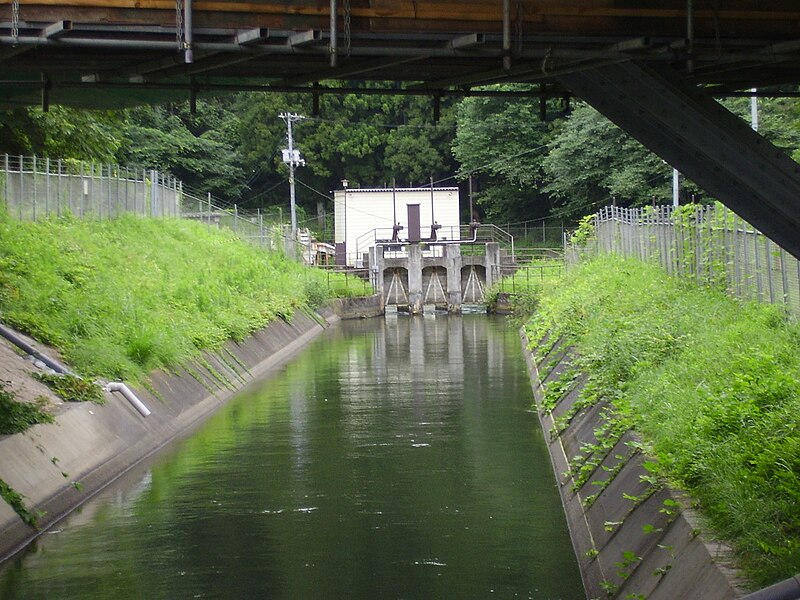
English: Aqueduct linking Hirose River North Weir and Sankyozawa Power Station grit chamber
|
| Date | |
| Source | Own work |
| Author | Oriorigamigami4 |
| Camera location | | View this and other nearby images on: OpenStreetMap |
|---|
Licensing
[edit]
I, the copyright holder of this work, hereby publish it under the following license:
This file is licensed under the Creative Commons Attribution-Share Alike 3.0 Unported license.
- You are free:
- to share – to copy, distribute and transmit the work
- to remix – to adapt the work
- Under the following conditions:
- attribution – You must give appropriate credit, provide a link to the license, and indicate if changes were made. You may do so in any reasonable manner, but not in any way that suggests the licensor endorses you or your use.
- share alike – If you remix, transform, or build upon the material, you must distribute your contributions under the same or compatible license as the original.
File history
Click on a date/time to view the file as it appeared at that time.
| Date/Time | Thumbnail | Dimensions | User | Comment | |
|---|---|---|---|---|---|
| current | 09:56, 31 August 2011 | | 1,600 × 1,200 (544 KB) | Oriorigamigami4 (talk | contribs) | =={{int:filedesc}}== {{Information |description={{ja|1=宮城県仙台市青葉区郷六にある広瀬川の北堰から三居沢発電所の沈砂池に至るまでの水路。2011年8月16日に投稿者によって撮影。}} |date=2011-08-27 |source |
| 22:50, 26 August 2011 |  | 1,600 × 1,200 (545 KB) | Oriorigamigami4 (talk | contribs) |
You cannot overwrite this file.
File usage on Commons
There are no pages that use this file.
File usage on other wikis
The following other wikis use this file:
- Usage on ja.wikipedia.org