Grand Staircase-Escalante National Monument
Jump to navigation
Jump to search
Grand Staircase-Escalante National Monument is a federally protected area administered by the Bureau of Land Management in southern Utah, United States.
Maps[edit]
-
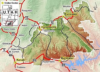 Park area map
 -
 Annotated park road map
 -
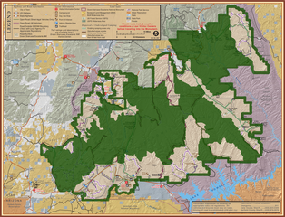 Shaded boundaries indicate reduced area as of the December 2017 presidential proclamation


Natural arches and bridges[edit]
-
 Grosvenor Arch
 -
 Metate Arch
 -
 Mano Arch
 -
 Sunset Arch
 -
 Moonrise Arch
 -
 Jacob Hamblin Arch
 -
 Coyote Natural Bridge
 -
 Broken Bow Arch
 -
 Peek-a-boo Arch
 -
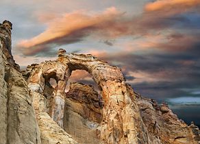
 Stevens Arch
.jpg)


.jpg)


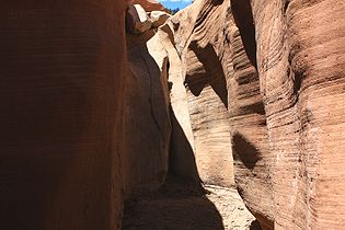
Canyons and slots[edit]
-
 Escalante canyons from State Route 12
 -
 Calf Creek Canyon
 -
 Dry Fork of Coyote Gulch
 -
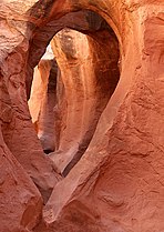
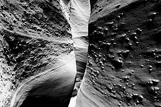 Spooky Gulch
 -
Spooky Gulch video
-
 Zebra Canyon
 -
 Hackberry Canyon
 -
 Round Valley Draw
 -
 Willis Creek
 -
 Lick Wash
 -
 Bull Valley Gorge


Hoodoos and toadstools[edit]
-
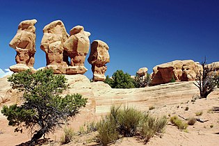 Devils Garden hoodoos
 -
 Devils Garden hoodoos
 -
 Devils Garden hoodoos at night
 -
 Wahweap hoodoo
 -
 Toadstool


Other rock formations[edit]
-
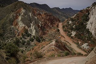 Cottonwood Canyon Road
 -
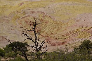 Yellow Rock near Cottonwood Canyon Road
 -
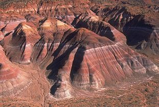 Chinle Badlands
 -
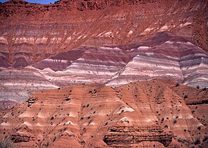 Colorful cliffs
 -
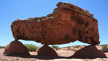 Balanced rock
 -
 Balanced rock
 -
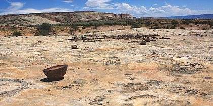 Moqui Marbles
 -
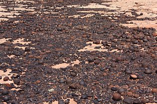 Moqui Marbles
 -
 Dance Hall Rock
 -


Water features[edit]
-
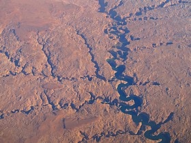 Escalante River aerial view
 -
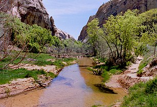
 Escalante River
 -
 Coyote Creek
 -
 Coyote Creek waterfall
 -
 Calf Creek
 -
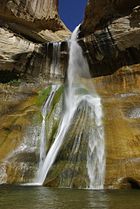 Lower Calf Creek Falls
 -
 Upper Calf Creek Falls
.jpg)
.jpg)
.jpg)


.jpg)


