File:星子县 - Xingzi County - 2016.04 - panoramio.jpg
Jump to navigation
Jump to search

Size of this preview: 799 × 599 pixels. Other resolutions: 320 × 240 pixels | 640 × 480 pixels | 1,024 × 768 pixels | 1,280 × 960 pixels | 2,482 × 1,862 pixels.
Original file (2,482 × 1,862 pixels, file size: 959 KB, MIME type: image/jpeg)
Captions
Captions
Add a one-line explanation of what this file represents
Summary
[edit]
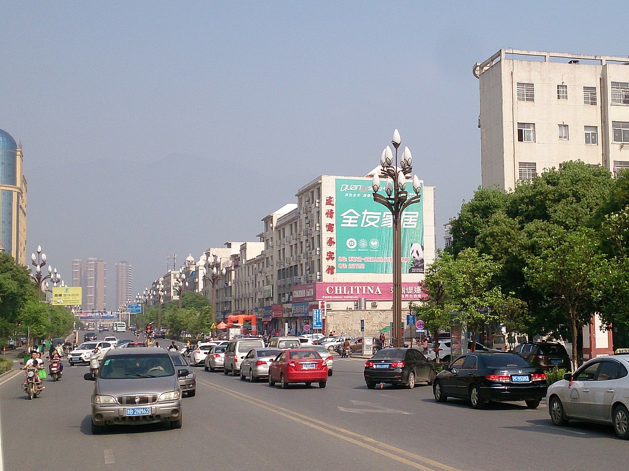
| Description | 星子县 - Xingzi County - 2016.04 | ||
| Date | Taken on 30 April 2016 | ||
| Source | https://web.archive.org/web/20161103140332/http://www.panoramio.com/photo/130340115 | ||
| Author | rheins | ||
| Permission (Reusing this file) |
This file is licensed under the Creative Commons Attribution 3.0 Unported license. Attribution: rheins
|
||
| Panoramio Tags | Jiujiang, 庐山 - Mt.Lushan |
| Camera location | | View this and other nearby images on: OpenStreetMap |
|---|
File history
Click on a date/time to view the file as it appeared at that time.
| Date/Time | Thumbnail | Dimensions | User | Comment | |
|---|---|---|---|---|---|
| current | 19:53, 6 July 2017 | | 2,482 × 1,862 (959 KB) | Panoramio upload bot (talk | contribs) | == {{int:filedesc}} == {{Information |description=星子县 - Xingzi County - 2016.04 |date={{Taken on|2016-04-30}} |source=http://www.panoramio.com/photo/130340115 |author=[http://www.panoramio.com/user/5226993?with_photo_id=130340115 rheins] |permiss... |
You cannot overwrite this file.
File usage on Commons
The following page uses this file:
File usage on other wikis
The following other wikis use this file:
- Usage on fr.wikipedia.org
- Usage on ko.wikipedia.org
- Usage on ku.wikipedia.org
- Usage on ru.wikipedia.org
- Usage on uk.wikipedia.org
- Usage on www.wikidata.org