File:邯郸市天际线01.jpg
Jump to navigation
Jump to search

Size of this preview: 800 × 260 pixels. Other resolutions: 320 × 104 pixels | 640 × 208 pixels | 1,024 × 332 pixels | 3,008 × 976 pixels.
Original file (3,008 × 976 pixels, file size: 1.38 MB, MIME type: image/jpeg)
Captions
Captions
Add a one-line explanation of what this file represents
Summary[edit]
| Description |
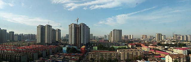
中文(中国大陆):邯郸市天际线 |
| Date | |
| Source | Own work |
| Author | User:我乃野云鹤 |
| Camera location | | View this and other nearby images on: OpenStreetMap |
|---|
Licensing[edit]
This file is licensed under the Creative Commons Attribution-Share Alike 4.0 International license.
- You are free:
- to share – to copy, distribute and transmit the work
- to remix – to adapt the work
- Under the following conditions:
- attribution – You must give appropriate credit, provide a link to the license, and indicate if changes were made. You may do so in any reasonable manner, but not in any way that suggests the licensor endorses you or your use.
- share alike – If you remix, transform, or build upon the material, you must distribute your contributions under the same or compatible license as the original.
File history
Click on a date/time to view the file as it appeared at that time.
| Date/Time | Thumbnail | Dimensions | User | Comment | |
|---|---|---|---|---|---|
| current | 18:56, 16 December 2020 | 3,008 × 976 (1.38 MB) | 瑞丽江的河水 (talk | contribs) | Uploaded a work by User:我乃野云鹤 from {{own}} with UploadWizard |
You cannot overwrite this file.
File usage on Commons
The following page uses this file:
File usage on other wikis
The following other wikis use this file:
- Usage on ca.wikipedia.org
- Usage on ceb.wikipedia.org
- Usage on en.wikipedia.org
- Usage on es.wikipedia.org
- Usage on eu.wikipedia.org
- Usage on fr.wikipedia.org
- Usage on ru.wikipedia.org
- Usage on sl.wikipedia.org
- Usage on th.wikipedia.org
- Usage on vi.wikipedia.org
- Usage on www.wikidata.org
- Usage on zh.wikipedia.org
- Usage on zh.wikivoyage.org