File:125.39255E 38.73470N Port of Nampho.png
Jump to navigation
Jump to search

Size of this preview: 800 × 543 pixels. Other resolutions: 320 × 217 pixels | 640 × 435 pixels | 1,022 × 694 pixels.
Original file (1,022 × 694 pixels, file size: 1.28 MB, MIME type: image/png)
Captions
Captions
Add a one-line explanation of what this file represents
| Description |
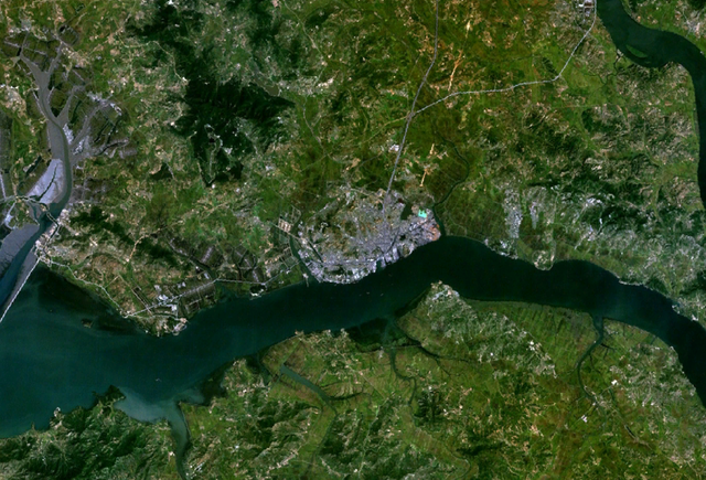
English: Satellite shot showing the port of Nampho, North Korea (the gray mass near the center of the image), from an altitude of 17.5 km. |
|||
| Date | date of dataset | |||
| Source | Created with NASA WorldWind by User:Oaktree_b using Landsat 7 (Visible Color) satellite image. | |||
| Author | NASA | |||
| Permission (Reusing this file) |
|

| Object location | | View this and other nearby images on: OpenStreetMap |
|---|
File history
Click on a date/time to view the file as it appeared at that time.
| Date/Time | Thumbnail | Dimensions | User | Comment | |
|---|---|---|---|---|---|
| current | 02:55, 25 July 2011 | | 1,022 × 694 (1.28 MB) | Oaktree b (talk | contribs) | {{Information |Description ={{en|1=Satellite shot showing the port of Nampho, North Korea (the gray mass near the center of the image), from an altitude of 17.5 km. }} |Source =Created with NASA WorldWind by User:Oaktree_b using Landsat 7 ( |
You cannot overwrite this file.
File usage on Commons
There are no pages that use this file.
File usage on other wikis
The following other wikis use this file: