File:Antarctic-east-ru.jpg
Jump to navigation
Jump to search

No higher resolution available.
Antarctic-east-ru.jpg (621 × 449 pixels, file size: 195 KB, MIME type: image/jpeg)
Captions
Captions
Add a one-line explanation of what this file represents
Summary[edit]
| Description |
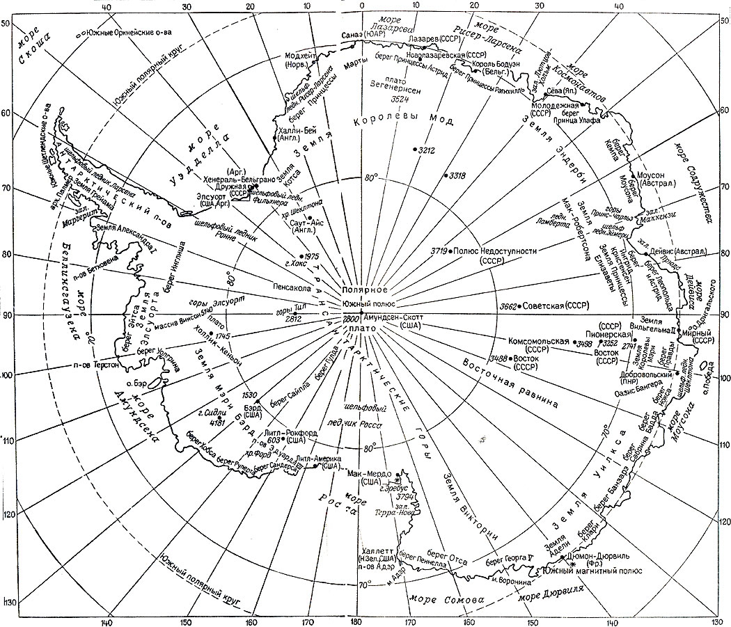
English: Enderby Land, Kemp Land on Antarctica map (in Russian)
|
||
| Date | 29 October 2014 (upload date) | ||
| Source | Own work, данные взяты с Карты Антарктики из книги Л. Дубровин, М. Преображенская «О чём говорит карта Антарктики». - Л.: Гидрометеоиздат, 1987 | ||
| Author | Nickpo | ||
| Permission (Reusing this file) |
|
||
| Other versions |
This file was derived from: Antarctica relief location map.jpg:  |
File history
Click on a date/time to view the file as it appeared at that time.
| Date/Time | Thumbnail | Dimensions | User | Comment | |
|---|---|---|---|---|---|
| current | 16:18, 29 October 2014 | | 621 × 449 (195 KB) | Nickpo (talk | contribs) | {{Information |Description={{en|1=Enderby Land, Kemp Land on Antarctica map (in Russian)}} {{ru|1=ru:Земля Эндерби, ru:Земля Кемпа на карте Антарктиды (на русском языке)}} |Source={{own wor... |
You cannot overwrite this file.
File usage on Commons
The following page uses this file:
File usage on other wikis
The following other wikis use this file:
- Usage on az.wikipedia.org
- Usage on ru.wikipedia.org
- Usage on uk.wikipedia.org