File:Australia Queensland location map.svg

לקובץ המקורי (קובץ SVG, הגודל המקורי: 1,169 × 1,540 פיקסלים, גודל הקובץ: 808 ק"ב)
כיתובים
כיתובים
תקציר[עריכה]
| תיאור |
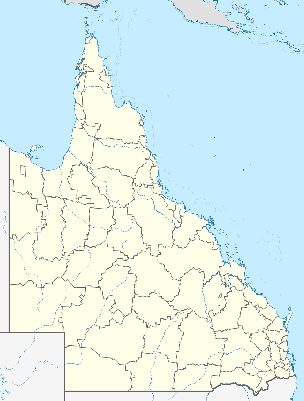
Quadratische Plattkarte, N-S-Streckung 106 %. Geographische Begrenzung der Karte:
Equirectangular projection, N/S stretching 106 %. Geographic limits of the map:
|
||
| תאריך יצירה | |||
| מקור |
נוצר על־ידי מעלה היצירה, using
|
||
| יוצר | NordNordWest | ||
| אישורים והיתרים (שימוש חוזר בקובץ זה) |
הקובץ הזה מתפרסם לפי תנאי רישיון קריאייטיב קומונז ייחוס-שיתוף זהה 3.0 גרמניה.
 |
||
| SVGהתפתחות | Other tools עם נוצרה ה גרפיקה וקטורית
|


היסטוריית הקובץ
ניתן ללחוץ על תאריך/שעה כדי לראות את הקובץ כפי שנראה באותו זמן.
| תאריך/שעה | תמונה ממוזערת | ממדים | משתמש | הערה | |
|---|---|---|---|---|---|
| נוכחית | 16:31, 3 בינואר 2022 | | 1,540 × 1,169 (808 ק"ב) | The2016 (שיחה | תרומות) | Updated to show the de-amalgamated Shires of Livingstone, Noosa, Mareeba and Douglas. |
| 22:07, 4 באפריל 2010 |  | 1,540 × 1,169 (804 ק"ב) | Chumwa (שיחה | תרומות) | Reverted to version as of 20:09, 21 January 2010 | |
| 19:54, 4 באפריל 2010 |  | 1,540 × 1,169 (638 ק"ב) | Roke~commonswiki (שיחה | תרומות) | local government low saliance, dont appear on general use maps | |
| 20:09, 21 בינואר 2010 |  | 1,540 × 1,169 (804 ק"ב) | NordNordWest (שיחה | תרומות) | final | |
| 20:26, 13 בינואר 2010 |  | 1,540 × 1,169 (638 ק"ב) | NordNordWest (שיחה | תרומות) | {Information |Description= {{de|Positionskarte von Queensland, Australien, Vorversion}} Quadratische Plattkarte, N-S-Streckung 106 %. Geographische Begrenzung der Karte: * N: 9.0° S * S: 29.5° S * W: 137.5° O |
אין באפשרותך לדרוס את הקובץ הזה.
שימוש בקובץ
הדפים הבאים משתמשים בקובץ הזה:
שימוש גלובלי בקובץ
אתרי הוויקי השונים הבאים משתמשים בקובץ זה:
- שימוש באתר af.wikipedia.org
- שימוש באתר als.wikipedia.org
- שימוש באתר ar.wikipedia.org
- שימוש באתר arz.wikipedia.org
- שימוש באתר ast.wikipedia.org
- שימוש באתר azb.wikipedia.org
- שימוש באתר ba.wikipedia.org
- שימוש באתר be.wikipedia.org
- שימוש באתר bg.wikipedia.org
- שימוש באתר bn.wikipedia.org
- שימוש באתר ceb.wikipedia.org
- שימוש באתר cs.wikipedia.org
- שימוש באתר da.wikipedia.org
- שימוש באתר de.wikipedia.org
- Brisbane
- Gold Coast (Australien)
- Cairns
- Australia Zoo
- Q1 Tower
- Port Douglas (Queensland)
- Townsville
- Cooktown
- Mount Isa
- Rockhampton
- Kuranda
- Coolangatta
- Thuringowa
- Mackay (Queensland)
- Gateway Bridge
- Logan (Australien)
- Marburg (Queensland)
- Minden (Queensland)
- Mission Beach (Queensland)
- Birdsville (Queensland)
- Southport (Australien)
- Caloundra
צפייה בשימושים גלובליים נוספים של קובץ זה.