File:Auvergne-Loc.svg
Jump to navigation
Jump to search

Size of this PNG preview of this SVG file: 208 × 253 pixels. Other resolutions: 197 × 240 pixels | 395 × 480 pixels | 631 × 768 pixels | 842 × 1,024 pixels | 1,684 × 2,048 pixels.
Original file (SVG file, nominally 208 × 253 pixels, file size: 85 KB)
Captions
Captions
Add a one-line explanation of what this file represents
Summary[edit]
| Description |
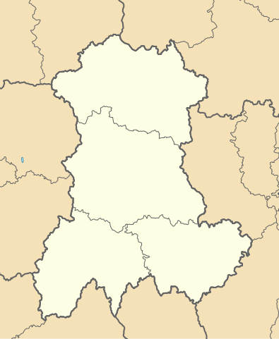
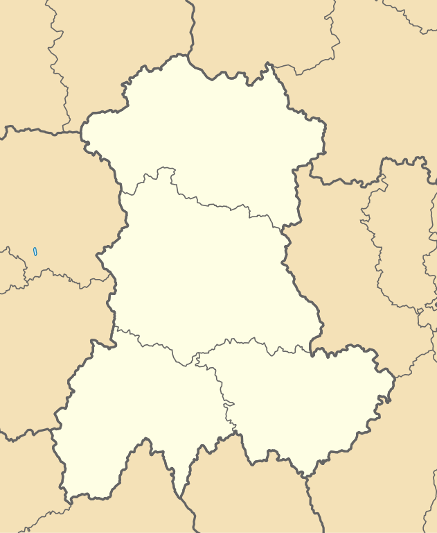
English: Blank administrative map of Auvergne for geo-location purpose, with regions and departements distinguished.
Approximate scale : 1:3,000,000 Français : Carte administrative vierge d'Auvergne destinée à la géolocalisation, avec régions et départements distingués.
Échelle approximative : 1:3 000 000 Equirectangular projection, WGS84 datum
Geographic limits of the map :
|
||
| Date | |||
| Source | File:France location map-Regions and departements.svg créée par Eric Gaba (Sting - fr:Sting) | ||
| Author | SyntaxTerror | ||
| Permission (Reusing this file) |
|
||
| Other versions | SVG : File:Auvergne-Loc.png |
Licensing[edit]
I, the copyright holder of this work, hereby publish it under the following licenses:

|
Permission is granted to copy, distribute and/or modify this document under the terms of the GNU Free Documentation License, Version 1.2 or any later version published by the Free Software Foundation; with no Invariant Sections, no Front-Cover Texts, and no Back-Cover Texts. A copy of the license is included in the section entitled GNU Free Documentation License. |
This file is licensed under the Creative Commons Attribution-Share Alike 4.0 International, 3.0 Unported, 2.5 Generic, 2.0 Generic and 1.0 Generic license.
- You are free:
- to share – to copy, distribute and transmit the work
- to remix – to adapt the work
- Under the following conditions:
- attribution – You must give appropriate credit, provide a link to the license, and indicate if changes were made. You may do so in any reasonable manner, but not in any way that suggests the licensor endorses you or your use.
- share alike – If you remix, transform, or build upon the material, you must distribute your contributions under the same or compatible license as the original.
You may select the license of your choice.
File history
Click on a date/time to view the file as it appeared at that time.
| Date/Time | Thumbnail | Dimensions | User | Comment | |
|---|---|---|---|---|---|
| current | 16:12, 2 March 2021 | | 208 × 253 (85 KB) | SyntaxTerror (talk | contribs) | size |
| 16:02, 2 March 2021 |  | 390 × 474 (81 KB) | SyntaxTerror (talk | contribs) | =={{int:filedesc}}== {{Information |description={{en|1=Blank administrative map of Auvergne for geo-location purpose, with regions and departements distinguished.<br/>Approximate scale : 1:3,000,000}} {{fr|1=Carte administrative vierge d'{{wf|Auvergne}} destinée à la géolocalisation, avec régions et départements distingués.<br/>Échelle approximative : 1:3 000 000}} Equirectangular projection, WGS84 datum<br/> *Central meridian: 3° 15' E<br/> *True scale parallel: 45... |
You cannot overwrite this file.
File usage on Commons
There are no pages that use this file.
File usage on other wikis
The following other wikis use this file:
- Usage on fr.wikipedia.org
- Château de Chavaniac
- Abbaye de Mozac
- Château de Ravel
- Vulcania
- Croisances
- Thoras (ancienne commune)
- Maison des Sports de Clermont-Ferrand
- Ligue d'Auvergne de football
- Liste des commanderies templières en Auvergne
- Viaduc des Fades
- Commanderie de La Marche
- Stadium Jean-Pellez
- Rencontre de Cussac
- Commanderie de Celles
- Stade des Cézeaux
- Commanderie du Chambon (Haute-Loire)
- Château de Polignac (Haute-Loire)
- Murat (commune déléguée)
- Commanderie de Carlat
- Viaduc de la Recoumène
- Projet:Cartographie/Cartes standards/France
- Chapelle des Missions de Vichy
- Pont du Diable (Chalencon)
- Golf des volcans
- Grande mosquée de Clermont-Ferrand
- Prieuré Sainte-Croix de Lavoûte-Chilhac
- Ancienne église Saint-Martin de Cosne-d'Allier
- Château de Montgon
- Abbaye de Menat
- Pont autoroutier de Garabit
- Pont de la Chartreuse
- Église Saint-Blaise de Dore-l'Église
- Basilique Notre-Dame-des-Miracles de Mauriac
- Abbatiale Saint-Austremoine d'Issoire
- Chapelle funéraire de Chambon-sur-Lac
- Viaduc de Rouzat
- Viaduc de Neuvial
- Aérodrome de Saint-Flour - Coltines
- Aérodrome de Brioude - Beaumont
- Générations Star Wars et Science Fiction
- Chapelle Notre-Dame-du-Château de Saignes
- Église Saint-Jean d'Ambert
- Église Saint-Jacques-le-Majeur de Lanobre
- Église Saint-Hilaire de Saint-Hilaire (Haute-Loire)
- Église Saint-Étienne-et-Saint-Clair de Saint-Étienne-de-Chomeil
- Gare de Lissac
- Modèle:Géolocalisation/Auvergne
- Viaduc de la Sioule
- Viaduc de la Clidane
- Château de Carry
View more global usage of this file.