File:Bahamas location map.svg
둘러보기로 이동
검색으로 이동

SVG 파일의 PNG 형식의 미리보기 크기: 800 × 577 픽셀. 다른 해상도: 320 × 231 픽셀 | 640 × 461 픽셀 | 1,024 × 738 픽셀 | 1,280 × 923 픽셀 | 2,560 × 1,846 픽셀 | 1,559 × 1,124 픽셀
원본 파일 (SVG 파일, 실제 크기 1,559 × 1,124 픽셀, 파일 크기: 383 KB)
캡션
설명
이 파일이 나타내는 바에 대한 한 줄 설명을 추가합니다
파일 설명
[편집]

|
This map has been made or improved in the German Kartenwerkstatt (Map Lab). You can propose maps to improve as well.
|
라이선스
[편집]
나는 아래 작품의 저작권자로서, 이 저작물을 다음과 같은 라이선스로 배포합니다:

|
GNU 자유 문서 사용 허가서 1.2판 또는 자유 소프트웨어 재단에서 발행한 이후 판의 규정에 따라 본 문서를 복제하거나 개작 및 배포할 수 있습니다. 본 문서에는 변경 불가 부분이 없으며, 앞 표지 구절과 뒷 표지 구절도 없습니다. 본 사용 허가서의 전체 내용은 GNU 자유 문서 사용 허가서 부분에 포함되어 있습니다. |
이 파일은 크리에이티브 커먼즈 저작자표시-동일조건변경허락 3.0 Unported 라이선스로 배포됩니다.
- 이용자는 다음의 권리를 갖습니다:
- 공유 및 이용 – 저작물의 복제, 배포, 전시, 공연 및 공중송신
- 재창작 – 저작물의 개작, 수정, 2차적저작물 창작
- 다음과 같은 조건을 따라야 합니다:
- 저작자표시 – 적절한 저작자 표시를 제공하고, 라이센스에 대한 링크를 제공하고, 변경사항이 있는지를 표시해야 합니다. 당신은 합리적인 방식으로 표시할 수 있지만, 어떤 방식으로든 사용권 허가자가 당신 또는 당신의 사용을 지지하는 방식으로 표시할 수 없습니다.
- 동일조건변경허락 – 만약 당신이 이 저작물을 리믹스 또는 변형하거나 이 저작물을 기반으로 제작하는 경우, 당신은 당신의 기여물을 원저작물과 동일하거나 호환 가능한 라이선스에 따라 배포하여야 합니다.
이 라이선스 중에서 목적에 맞는 것을 선택하여 사용할 수 있습니다.
파일 역사
날짜/시간 링크를 클릭하면 해당 시간의 파일을 볼 수 있습니다.
| 날짜/시간 | 섬네일 | 크기 | 사용자 | 설명 | |
|---|---|---|---|---|---|
| 현재 | 2011년 4월월 15일 (금) 17:31 | | 1,559 × 1,124 (383 KB) | NordNordWest (토론 | 기여) | upd |
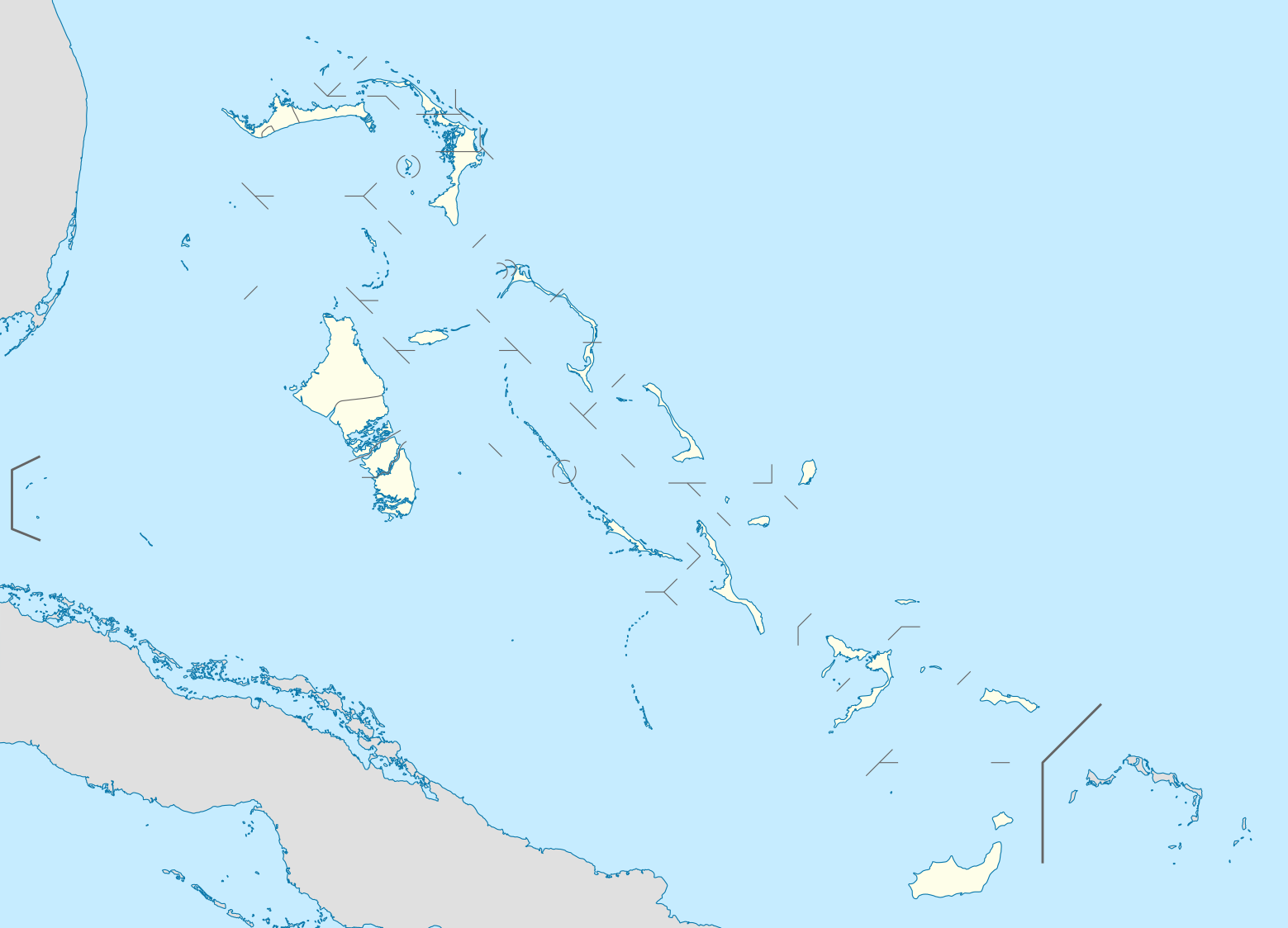
| 2008년 10월 23일 (목) 19:17 |  | 1,560 × 1,125 (549 KB) | NordNordWest (토론 | 기여) | {{Information |Description= {{de|Positionskarte der Bahamas}} Quadratische Plattkarte, N-S-Streckung 105 %. Geographische Begrenzung der Karte: * N: 27.5° N * S: 20.7° N * W: 80.7° W * O: 70.8° W {{en|Location map of [[:en:The Bahamas| |
이 파일을 덮어쓸 수 없습니다.
이 파일을 사용하는 문서
100개 이상의 문서가 이 파일을 사용하고 있습니다. 다음 목록은 이 파일을 사용하는 처음 문서 100개만 보여주고 있습니다. 이 파일을 사용하는 모든 문서 목록을 볼 수 있습니다.
- User:NordNordWest/Gallery/Location maps
- File:Acklins in Bahamas.svg
- File:Acklins in Bahamas (+glow).svg
- File:Acklins in Bahamas (zoom).svg
- File:Bahamas-map-2010.png
- File:Berry Islands District.png
- File:Berry Islands in Bahamas.svg
- File:Berry Islands in Bahamas (+glow).svg
- File:Bimini District.png
- File:Bimini in Bahamas (+glow).svg
- File:Black Point in Bahamas.svg
- File:Black Point in Bahamas (+glow).svg
- File:Black Point in Bahamas (+special marker).svg
- File:Black Point in Bahamas (zoom).svg
- File:Cat Island District.png
- File:Cat Island in Bahamas.svg
- File:Central Abaco District.png
- File:Central Abaco District Location.png
- File:Central Abaco in Bahamas.svg
- File:Central Abaco in Bahamas (zoom).svg
- File:Central Andros District.png
- File:Central Andros in Bahamas.svg
- File:Central Eleuthera District.png
- File:Central Eleuthera in Bahamas.svg
- File:Central Eleuthera in Bahamas (+glow).svg
- File:Central Eleuthera in Bahamas (zoom).svg
- File:Crooked Island in Bahamas.svg
- File:Crooked Island in Bahamas (+glow).svg
- File:Crooked Island in Bahamas (zoom).svg
- File:District of Acklins.png
- File:District of the City of Freeport.png
- File:East Grand Bahama.png
- File:East Grand Bahama in Bahamas.svg
- File:East Grand Bahama in Bahamas (zoom).svg
- File:Exuma District.png
- File:Exuma and Cays in Bahamas.svg
- File:Exuma and Cays in Bahamas (+glow).svg
- File:Freeport in Bahamas.svg
- File:Freeport in Bahamas (+special marker).svg
- File:Freeport in Bahamas (zoom).svg
- File:Grand Cay District.png
- File:Grand Cay in Bahamas (+glow).svg
- File:Grand Cay in Bahamas (zoom).svg
- File:Grand Cay in Bahamas (zoom +glow).svg
- File:Grand bahama Administrative regions.png
- File:Green Turtle Cay in Bahamas (+glow).svg
- File:Green Turtle Cay in Bahamas (+special marker).svg
- File:Green Turtle Cay in Bahamas (zoom).svg
- File:Green Turtle Cay in Bahamas (zoom +glow).svg
- File:Harbour Island District.png
- File:Harbour Island in Bahamas (+special marker).svg
- File:Harbour Island in Bahamas (zoom).svg
- File:Hope Town District.png
- File:Hope Town in Bahamas.svg
- File:Hope Town in Bahamas (+glow).svg
- File:Hope Town in Bahamas (zoom).svg
- File:Hope Town in Bahamas (zoom +glow).svg
- File:Inagua District Location.png
- File:Inagua in Bahamas.svg
- File:Long Island District.png
- File:Long Island in Bahamas.svg
- File:Long Island in Bahamas (+glow).svg
- File:Mangrove Cay District.png
- File:Mangrove Cay in Bahamas.svg
- File:Map of the Bahamas-2010-2.png
- File:Map of the Bahamas-2010.png
- File:Mayaguana District.png
- File:Mayaguana in Bahamas.svg
- File:Mayaguana in Bahamas (+glow).svg
- File:Moore's Island.png
- File:Moores Island in Bahamas.svg
- File:Moores Island in Bahamas (+special marker).svg
- File:Moores Island in Bahamas (zoom).svg
- File:Moores Island in Bahamas (zoom +glow).svg
- File:North Abaco District.png
- File:North Abaco in Bahamas.svg
- File:North Abaco in Bahamas (+glow).svg
- File:North Abaco in Bahamas (zoom).svg
- File:North Andros District.png
- File:North Andros District Location.png
- File:North Andros in Bahamas.svg
- File:North Eleuthera District.png
- File:North Eleuthera in Bahamas.svg
- File:North Eleuthera in Bahamas (+glow).svg
- File:North Eleuthera in Bahamas (zoom).svg
- File:Northern Bahamas.png
- File:Ragged Island in Bahamas (+glow).svg
- File:Rum Cay in Bahamas.svg
- File:Rum Cay in Bahamas (+glow).svg
- File:San Salvador in Bahamas.svg
- File:San Salvador in Bahamas (+glow).svg
- File:South Abaco District.png
- File:South Abaco in Bahamas.svg
- File:South Andros District.png
- File:South Andros District Location.png
- File:South Andros in Bahamas.svg
- File:South Eleuthera District.png
- File:South Eleuthera in Bahamas.svg
- File:South Eleuthera in Bahamas (+glow).svg
- File:South Eleuthera in Bahamas (zoom).svg
.svg)
.svg)
.svg)
.svg)
.svg)
.svg)
.svg)
.svg)
.svg)
.svg)
.svg)
.svg)
.svg)
.svg)
.svg)
.svg)
.svg)
.svg)
.svg)
.svg)
.svg)
.svg)
.svg)
.svg)
.svg)
.svg)
.svg)
.svg)
.svg)
.svg)
.svg)
.svg)
.svg)
.svg)
.svg)
.svg)
.svg)
.svg)
.svg)
.svg)
.svg)
.svg)
이 파일이 쓰이고 있는 문서 목록 더 보기.
이 파일을 사용하고 있는 모든 위키의 문서 목록
다음 위키에서 이 파일을 사용하고 있습니다:
- af.wikipedia.org에서 이 파일을 사용하고 있는 문서 목록
- als.wikipedia.org에서 이 파일을 사용하고 있는 문서 목록
- an.wikipedia.org에서 이 파일을 사용하고 있는 문서 목록
- ar.wikipedia.org에서 이 파일을 사용하고 있는 문서 목록
- ast.wikipedia.org에서 이 파일을 사용하고 있는 문서 목록
- az.wikipedia.org에서 이 파일을 사용하고 있는 문서 목록
- ba.wikipedia.org에서 이 파일을 사용하고 있는 문서 목록
- be.wikipedia.org에서 이 파일을 사용하고 있는 문서 목록
- bg.wikipedia.org에서 이 파일을 사용하고 있는 문서 목록
- bn.wikipedia.org에서 이 파일을 사용하고 있는 문서 목록
- bs.wikipedia.org에서 이 파일을 사용하고 있는 문서 목록
- ceb.wikipedia.org에서 이 파일을 사용하고 있는 문서 목록
- Bahamas
- Plantilya:Location map Bahamas
- White Cliff
- South Point
- Pelican Point
- Palmetto Point
- Old Fort Point
- Long Island
- Long Bay
- Lobster Island
- James Point
- Hog Point
- High Point
- Goat Island
- Middle Ground
- North Point
- Castle Rock
- West Point
- West Cay
- Sandy Point
- Long Rock
- Little Island
- Black Point
- San Salvador
- North Beach
- Bell Island
이 파일의 더 많은 사용 내역을 봅니다.