File:Bellarine Peninsula Map.PNG
Jump to navigation
Jump to search

Size of this preview: 800 × 551 pixels. Other resolutions: 320 × 220 pixels | 640 × 441 pixels | 1,024 × 705 pixels | 1,448 × 997 pixels.
Original file (1,448 × 997 pixels, file size: 111 KB, MIME type: image/png)
Captions
Captions
Add a one-line explanation of what this file represents
Summary[edit]
| Description |
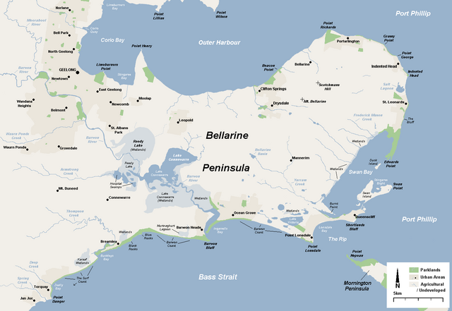
English: A basic map of the Bellarine Peninsula from a geographic perspective showing natural landforms and waterbodies. Made by myself in November 2008. |
| Date | 6 November 2008 (original upload date) |
| Source | Own work |
| Author | Nick carson at English Wikipedia |
Licensing[edit]
| This work has been released into the public domain by its author, Nick carson at English Wikipedia. This applies worldwide. In some countries this may not be legally possible; if so: Nick carson grants anyone the right to use this work for any purpose, without any conditions, unless such conditions are required by law. |
Original upload log[edit]
The original description page was here. All following user names refer to en.wikipedia.
- 2008-11-06 11:05 Nick carson 1448×997 (112694 bytes) A basic map of the Bellarine Peninsula from a geographic perspective showing natural landforms and waterbodies. Made by myself in November 2008.
- 2008-11-07 03:37 Nick carson 1448×997 (113584 bytes) Updated spelling, resized text, added further wetlands.
File history
Click on a date/time to view the file as it appeared at that time.
| Date/Time | Thumbnail | Dimensions | User | Comment | |
|---|---|---|---|---|---|
| current | 19:13, 7 January 2012 | | 1,448 × 997 (111 KB) | BotMultichillT (talk | contribs) | {{BotMoveToCommons|en.wikipedia|year={{subst:CURRENTYEAR}}|month={{subst:CURRENTMONTHNAME}}|day={{subst:CURRENTDAY}}}} == {{int:filedesc}} == {{Information |description={{en|1=A basic map of the Bellarine Peninsula from a geographic perspective showing n |
You cannot overwrite this file.
File usage on Commons
The following page uses this file:
File usage on other wikis
The following other wikis use this file:
- Usage on az.wikipedia.org
- Usage on en.wikipedia.org
- Usage on et.wikipedia.org
- Usage on ga.wikipedia.org
- Usage on pt.wikipedia.org
- Usage on ru.wikipedia.org
- Usage on uk.wikipedia.org
- Usage on www.wikidata.org