File:Black Sea relief location map.svg
Jump to navigation
Jump to search

Size of this PNG preview of this SVG file: 532 × 330 pixels. Other resolutions: 320 × 198 pixels | 640 × 397 pixels | 1,024 × 635 pixels | 1,280 × 794 pixels | 2,560 × 1,588 pixels.
Original file (SVG file, nominally 532 × 330 pixels, file size: 4.47 MB)
Captions
Captions
Add a one-line explanation of what this file represents
Summary[edit]
| Description |
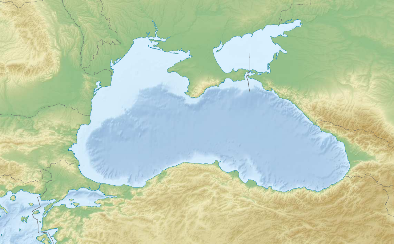
English: Location map of the Black Sea.
|
| Date | |
| Source | Own work |
| Author | Tentotwo |
Script for creating the map using the Generic Mapping Tools archive copy at the Wayback Machine[edit]
#!/bin/sh

# Set common options
PROJECTION=Q34/43.5/15c
REGION=24/44/39/48
FILENAME=Black_Sea_location_map.ps

GMT grdgradient black_sea_coarse.grd -A315 -Ne0.1 -Gblack_sea_relief.grd
GMT grdimage -J$PROJECTION -R$REGION black_sea_coarse.grd -Iblack_sea_relief.grd -Cocean_colours.cpt -K > $FILENAME
GMT psclip -J$PROJECTION -R$REGION -m 10m_land.gmt -O -K >> $FILENAME
GMT grdimage -J$PROJECTION -R$REGION black_sea_coarse.grd -Iblack_sea_relief.grd -Cland_colours.cpt -K -O >> $FILENAME
GMT psclip -C -O -K >> $FILENAME
GMT psxy -m -J$PROJECTION -R$REGION 10m_coastline.gmt -O -K -W0.25p,9/120/171  >> $FILENAME
GMT psxy -m -J$PROJECTION -R$REGION 10m_borders.gmt -O -K -W100/100/100  >> $FILENAME
GMT psxy -m -J$PROJECTION -R$REGION 10m_maritime_borders.gmt -O -W0.5p,100/100/100  >> $FILENAME

gv $FILENAME
Licensing[edit]
I, the copyright holder of this work, hereby publish it under the following license:
This file is licensed under the Creative Commons Attribution-Share Alike 3.0 Unported license.
- You are free:
- to share – to copy, distribute and transmit the work
- to remix – to adapt the work
- Under the following conditions:
- attribution – You must give appropriate credit, provide a link to the license, and indicate if changes were made. You may do so in any reasonable manner, but not in any way that suggests the licensor endorses you or your use.
- share alike – If you remix, transform, or build upon the material, you must distribute your contributions under the same or compatible license as the original.
File history
Click on a date/time to view the file as it appeared at that time.
| Date/Time | Thumbnail | Dimensions | User | Comment | |
|---|---|---|---|---|---|
| current | 16:27, 14 February 2012 | | 532 × 330 (4.47 MB) | Tentotwo (talk | contribs) | Fixed scaling issue by manually adding preserveAspectRatio="none" |
| 16:12, 14 February 2012 |  | 532 × 330 (4.46 MB) | Tentotwo (talk | contribs) |
You cannot overwrite this file.
File usage on Commons
The following 6 pages use this file:
- Чорне море - Чёрное море - Karadeniz - Marea Neagră
- File:Ausschliessliche Wirtschaftszonen Schwarzes Meer-uk.svg
- File:Ausschliessliche Wirtschaftszonen Schwarzes Meer.svg
- File:Ausschliessliche Wirtschaftszonen Schwarzes Meer (Reliefkarte)-uk.svg
- File:Ausschliessliche Wirtschaftszonen Schwarzes Meer (Reliefkarte).svg
- File:Black Sea relief location map with exclusive economic zones.svg
-uk.svg)
.svg)
File usage on other wikis
The following other wikis use this file:
- Usage on az.wikipedia.org
- Usage on be.wikipedia.org
- Usage on bg.wikipedia.org
- Usage on ce.wikipedia.org
- Usage on de.wikipedia.org
- Usage on de.wikivoyage.org
- Usage on dsb.wikipedia.org
- Usage on en.wikipedia.org
- Usage on eo.wikipedia.org
- Usage on es.wikipedia.org
View more global usage of this file.