File:Bolivia adm location map.svg

원본 파일 (SVG 파일, 실제 크기 1,342 × 1,488 픽셀, 파일 크기: 245 KB)
캡션
설명
파일 설명
[편집]| 설명 |
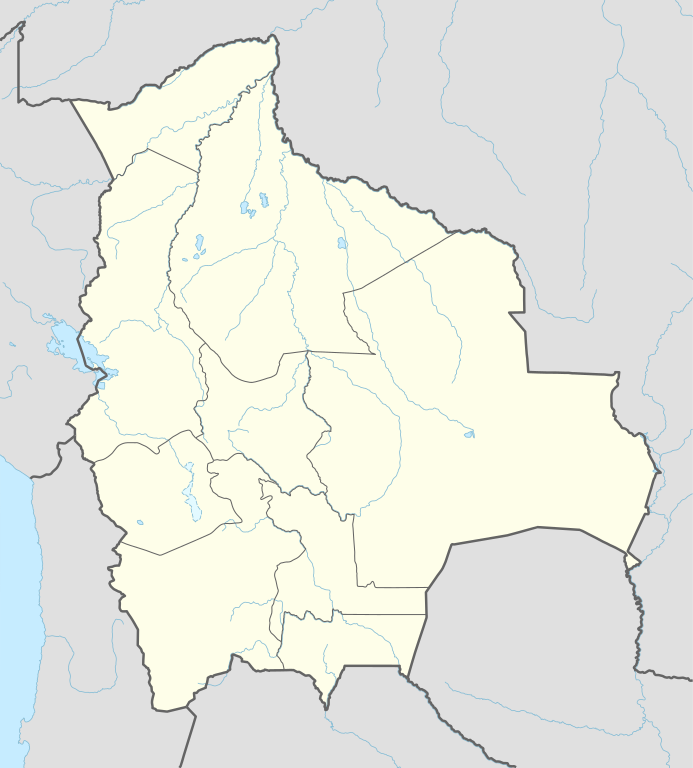
Deutsch: Positionskarte von Bolivien
English: Location map of Bolivia
|
||||||||||||
| 날짜 | |||||||||||||
| 출처 |
다음을 사용한 자신의 작품:
|
||||||||||||
| 저자 | NordNordWest | ||||||||||||
| SVG 발전 | 이 벡터 그림은 Adobe Illustrator(으)로 제작되었습니다.
|
||||||||||||

라이선스
[편집]
Usage of this file with:

explanatory notes: Legally binding is only the full legalcode. For a free usage I recommend to respect the following licence conditions:
1. Provide my name as given above: NordNordWest,
2. a copy of, or the URI for, the applicable license: https://creativecommons.org/licenses/by-sa/3.0/de/legalcode,
3. the title of the work,
4. in the case of an adaptation, a credit identifying the use of the work in the adaptation.
This license and the rights granted hereunder will terminate automatically upon any breach by you of the terms of this license. Any of the above conditions can be waived if you get permission from the copyright holder. If you have questions or wish differing conditions, please contact me through nnwest or my discussion page ![]() t-online.de
t-online.de
- 이용자는 다음의 권리를 갖습니다:
- 공유 및 이용 – 저작물의 복제, 배포, 전시, 공연 및 공중송신
- 재창작 – 저작물의 개작, 수정, 2차적저작물 창작
- 다음과 같은 조건을 따라야 합니다:
- 저작자표시 – 적절한 저작자 표시를 제공하고, 라이센스에 대한 링크를 제공하고, 변경사항이 있는지를 표시해야 합니다. 당신은 합리적인 방식으로 표시할 수 있지만, 어떤 방식으로든 사용권 허가자가 당신 또는 당신의 사용을 지지하는 방식으로 표시할 수 없습니다.
- 동일조건변경허락 – 만약 당신이 이 저작물을 리믹스 또는 변형하거나 이 저작물을 기반으로 제작하는 경우, 당신은 당신의 기여물을 원저작물과 동일하거나 호환 가능한 라이선스에 따라 배포하여야 합니다.

파일 역사
날짜/시간 링크를 클릭하면 해당 시간의 파일을 볼 수 있습니다.
| 날짜/시간 | 섬네일 | 크기 | 사용자 | 설명 | |
|---|---|---|---|---|---|
| 현재 | 2016년 1월 24일 (일) 11:18 | | 1,342 × 1,488 (245 KB) | NordNordWest (토론 | 기여) | upd |
| 2015년 5월 11일 (월) 18:04 |  | 1,342 × 1,488 (245 KB) | NordNordWest (토론 | 기여) | == {{int:filedesc}} == {{Information |Description= {{de|1=Positionskarte von Bolivien}} {{en|1=Location map of Bolivia}} {{Location map series N |stretching=105 |top=-9.0 |bottom=-24.0 |left=-71.0 |right=-58.6 }} |Source={{Own using}} * United States N... |
이 파일을 덮어쓸 수 없습니다.
이 파일을 사용하는 문서
다음 문서 3개가 이 파일을 사용하고 있습니다:
이 파일을 사용하고 있는 모든 위키의 문서 목록
다음 위키에서 이 파일을 사용하고 있습니다:
- af.wikipedia.org에서 이 파일을 사용하고 있는 문서 목록
- ast.wikipedia.org에서 이 파일을 사용하고 있는 문서 목록
- Laguna Grande (Bolivia)
- Laguna Victoria
- Salar d'Empexa
- Llaguna Coruto
- Sucre
- La Paz
- Ríu Mamoré
- Ríu Yata
- Ríu Itonomas
- Ríu Caine
- Ríu Rocha
- Ríu Beni
- Aeropuertu Internacional El Alto
- Mi Teleférico
- Colquechaca
- Potosí
- Salar d'Uyuni
- Llagu Poopó
- Nevado Sajama
- Módulu:Mapa de llocalización/datos/Bolivia
- Tiwanaku
- Campeonatu Suramericanu 1963
- Copa América 1997
- Universidá Andina Simón Bolívar
- Aeropuertu Apiaguaiki Tumpa
- Aeropuertu Apolo
- Aeropuertu Ascensión de Guarayos
- Aeropuertu Bermejo
- Aeropuertu Capitán Aníbal Arab
- Aeropuertu Capitán Av. Selin Zeitun Lopez
- Aeropuertu Capitán Av. Vidal Villagomez Toledo
- Aeropuertu Capitán Nicolás Rojas
- Aeropuertu Capitán Oriel Lea Plaza
- Aeropuertu Capitán de Av. Emilio Beltrán
- Aeropuertu Charaña
- Aeropuertu El Trompillo
- Aeropuertu Grán Parapetí Camiri
- Aeropuertu José Chávez Suárez
- Aeropuertu Joya Andina
- Aeropuertu Juan Mendoza
- Aeropuertu Juana Azurduy de Padilla
- Aeropuertu Rurrenabaque
- Aeropuertu Teniente Coronel Rafael Pabón
이 파일의 더 많은 사용 내역을 봅니다.