File:C72200s1 Ant.Map Welcome Mountain.jpg
קפיצה לניווט
קפיצה לחיפוש

גודל התצוגה המקדימה הזאת: 691 × 600 פיקסלים. רזולוציות אחרות: 277 × 240 פיקסלים | 553 × 480 פיקסלים | 885 × 768 פיקסלים | 1,180 × 1,024 פיקסלים | 2,359 × 2,048 פיקסלים | 3,744 × 3,250 פיקסלים.
לקובץ המקורי (3,744 × 3,250 פיקסלים, גודל הקובץ: 1.12 מ"ב, סוג MIME: image/jpeg)
כיתובים
כיתובים
נא להוסיף משפט שמסביר מה הקובץ מייצג
תקציר[עריכה]
| תיאור |
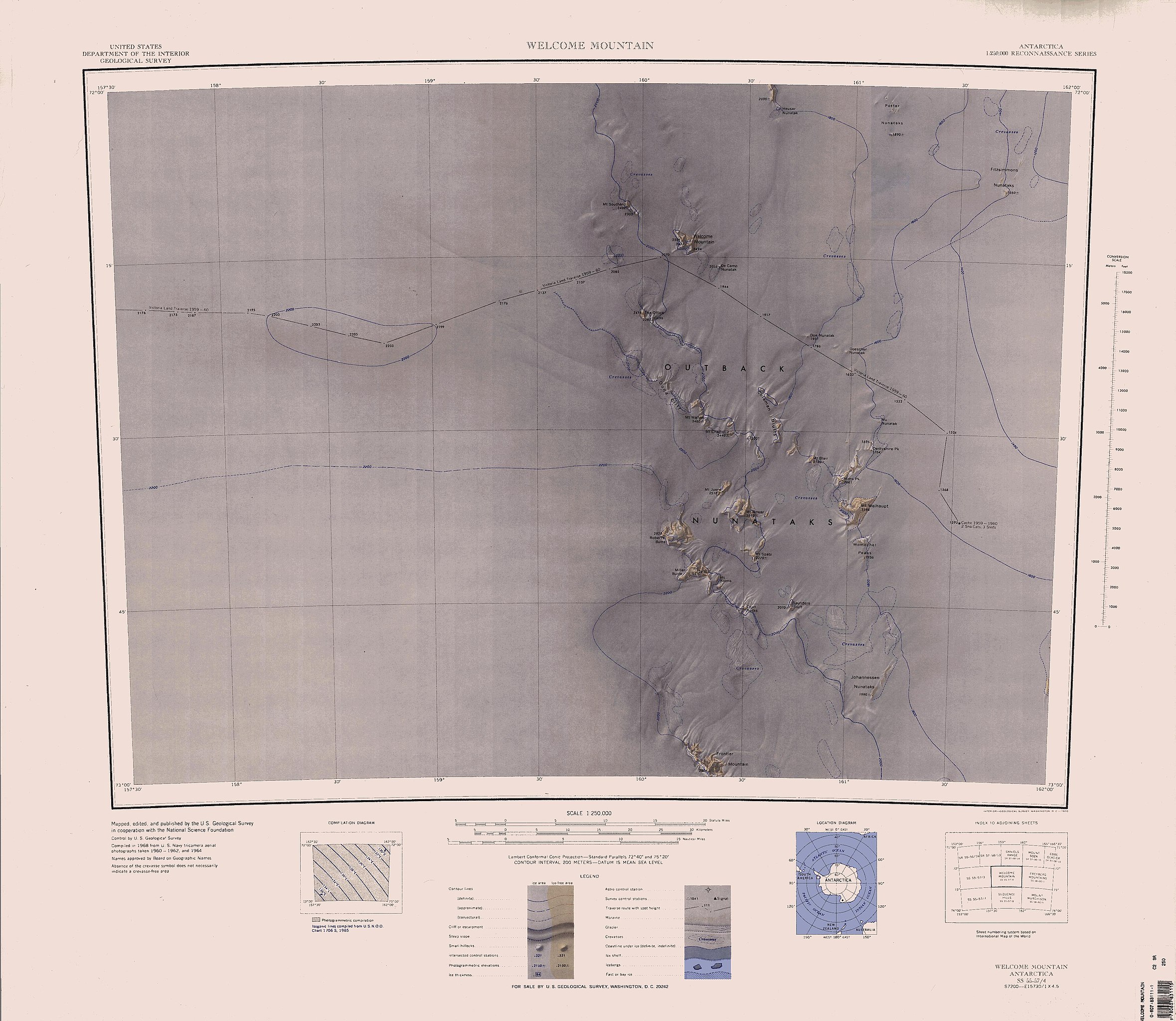
English: 1:250,000-scale topographic reconnaissance map of the Outback Nunataks area from 162°-163°30'E to 72°-73°S in Antarctica, including Welcome Mountain. Mapped, edited and published by the U.S. Geological Survey in cooperation with the National Science Foundation. |
|||
| תאריך יצירה | ||||
| מקור | http://usarc.usgs.gov/drg_dload.shtml | |||
| יוצר | United States Geological Survey | |||
| אישורים והיתרים (שימוש חוזר בקובץ זה) |
|
היסטוריית הקובץ
ניתן ללחוץ על תאריך/שעה כדי לראות את הקובץ כפי שנראה באותו זמן.
| תאריך/שעה | תמונה ממוזערת | ממדים | משתמש | הערה | |
|---|---|---|---|---|---|
| נוכחית | 10:09, 15 באפריל 2005 | | 3,250 × 3,744 (1.12 מ"ב) | Achim Raschka (שיחה | תרומות) | Map of Antarctica by the United States Antarctic Ressource Center of the US Geological Society. {{PD-US}} Copyrights and Trademarks USGS-authored or produced data and information are in the public domain. While the content of most USGS web pages is in th |
אין באפשרותך לדרוס את הקובץ הזה.
שימוש בקובץ
אין דפים המשתמשים בקובץ זה.
שימוש גלובלי בקובץ
אתרי הוויקי השונים הבאים משתמשים בקובץ זה:
- שימוש באתר de.wikipedia.org
- שימוש באתר en.wikipedia.org
- שימוש באתר he.wikipedia.org
- שימוש באתר nn.wikipedia.org
- שימוש באתר zh.wikipedia.org