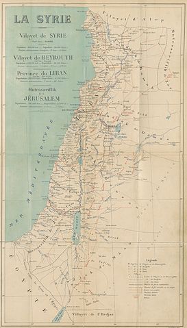
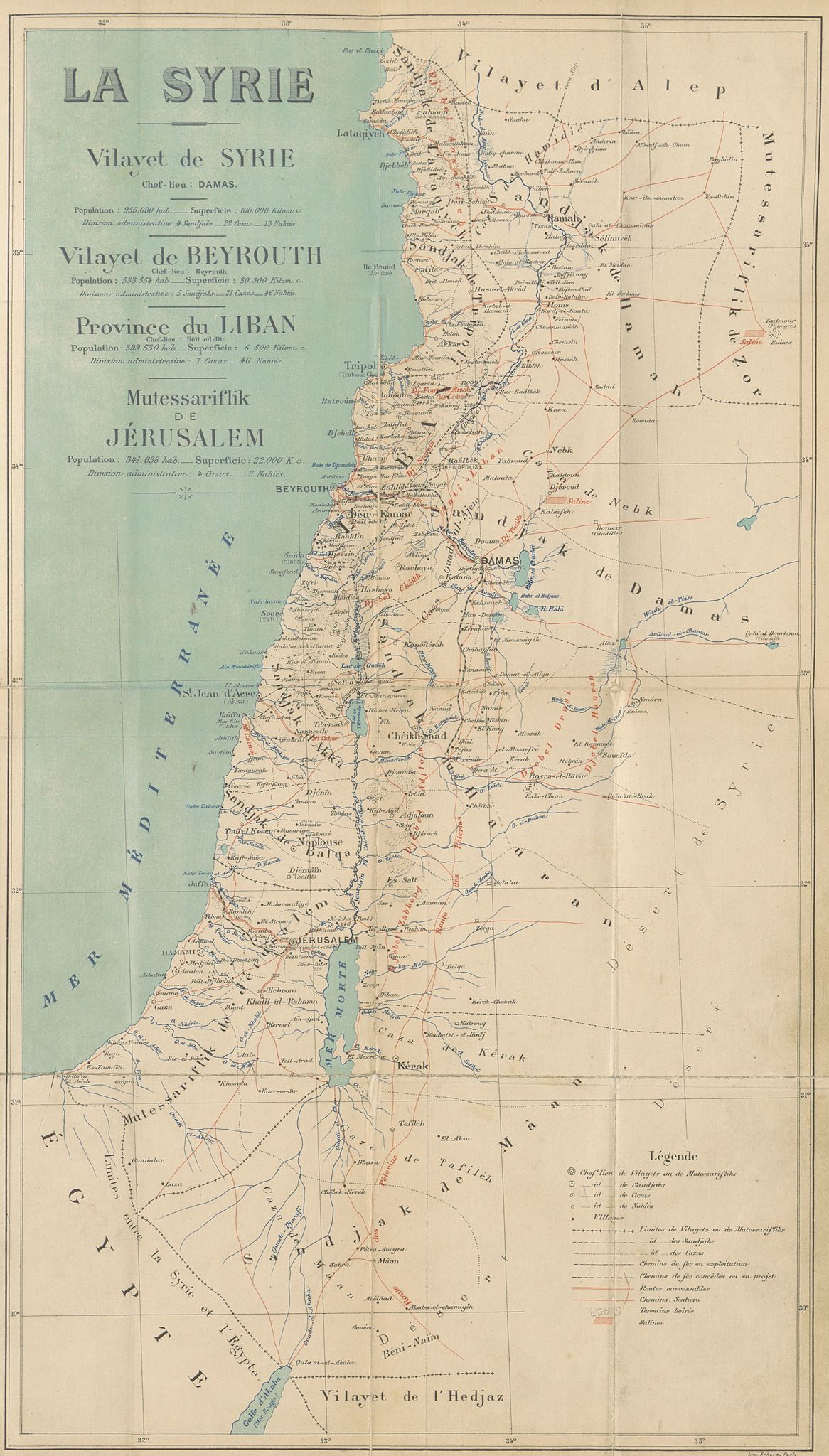
File:CUINET(1896) LA SYRIE.jpg

원본 파일 (3,459 × 6,075 픽셀, 파일 크기: 8.83 MB, MIME 종류: image/jpeg)
캡션
설명
파일 설명[편집]
| 날짜 | 1896년 | ||||
| 일련 번호 |
British Library HMNTS 010076.i.2. |
||||
| 출처/촬영자 |
Image extracted from page 529 of Syrie, Liban et Palestine. Géographie administrative, statistique, descriptive et raisonnée., by CUINET, Vital. Original held and digitised by the British Library. Copied from Flickr. Note: The colours, contrast and appearance of these illustrations are unlikely to be true to life. They are derived from scanned images that have been enhanced for machine interpretation and have been altered from their originals.
|
||||
| 저작권 (이 파일을 인용하기) |
|
||||

_LA_SYRIE.jpg&action=edit§ion=1)
| 주석 | 이 이미지에는 주석이 있습니다: 공용에서 주석을 보기 |
_LA_SYRIE.jpg)
파일 역사
날짜/시간 링크를 클릭하면 해당 시간의 파일을 볼 수 있습니다.
| 날짜/시간 | 섬네일 | 크기 | 사용자 | 설명 | |
|---|---|---|---|---|---|
| 현재 | 2015년 1월 1일 (목) 14:40 | | 3,459 × 6,075 (8.83 MB) | Metilsteiner (토론 | 기여) | User created page with UploadWizard |
이 파일을 덮어쓸 수 없습니다.
이 파일을 사용하는 문서
다음 문서 1개가 이 파일을 사용하고 있습니다:
_LA_SYRIE.jpg)
이 파일을 사용하고 있는 모든 위키의 문서 목록
다음 위키에서 이 파일을 사용하고 있습니다:
- az.wikipedia.org에서 이 파일을 사용하고 있는 문서 목록
- ca.wikipedia.org에서 이 파일을 사용하고 있는 문서 목록
- de.wikipedia.org에서 이 파일을 사용하고 있는 문서 목록
- en.wikipedia.org에서 이 파일을 사용하고 있는 문서 목록
- es.wikipedia.org에서 이 파일을 사용하고 있는 문서 목록
- fa.wikipedia.org에서 이 파일을 사용하고 있는 문서 목록
- fr.wikipedia.org에서 이 파일을 사용하고 있는 문서 목록
- id.wikipedia.org에서 이 파일을 사용하고 있는 문서 목록
- it.wikipedia.org에서 이 파일을 사용하고 있는 문서 목록
- ko.wikipedia.org에서 이 파일을 사용하고 있는 문서 목록
- mk.wikipedia.org에서 이 파일을 사용하고 있는 문서 목록
- mt.wikipedia.org에서 이 파일을 사용하고 있는 문서 목록
- pnb.wikipedia.org에서 이 파일을 사용하고 있는 문서 목록
- ro.wikipedia.org에서 이 파일을 사용하고 있는 문서 목록
- sr.wikipedia.org에서 이 파일을 사용하고 있는 문서 목록
- ur.wikipedia.org에서 이 파일을 사용하고 있는 문서 목록
_LA_SYRIE.jpg&oldid=844901167)
- Maps from the Mechanical Curator collection
- Syria Vilayet
- Beirut Vilayet
- Syrie, Liban et Palestine. Géographie administrative, statistique, descriptive et raisonnée (1896) by CUINET
- 1890s maps of the Levant
- French-language maps of Asia
- 1896 maps of the Ottoman Empire
- Mutasarrifate of Jerusalem
- Maps of Ottoman Syria