File:China Guangxi location map.svg
Jump to navigation
Jump to search

Size of this PNG preview of this SVG file: 578 × 371 pixels. Other resolutions: 320 × 205 pixels | 640 × 411 pixels | 1,024 × 657 pixels | 1,280 × 822 pixels | 2,560 × 1,643 pixels.
Original file (SVG file, nominally 578 × 371 pixels, file size: 60 KB)
Captions
Captions
Add a one-line explanation of what this file represents
Summary[edit]
| Description |
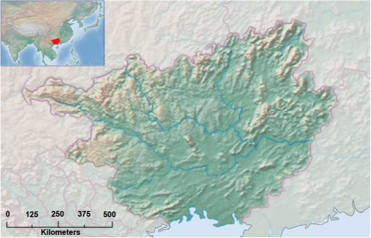
English: Map of Guangxi Province, PRC. |
| Date | |
| Source | Own work |
| Author | Philg88 |
| Camera location | | View this and other nearby images on: OpenStreetMap |
|---|
Made with public domain data from naturalearthdata.com
Licensing[edit]
I, the copyright holder of this work, hereby publish it under the following license:
This file is licensed under the Creative Commons Attribution-Share Alike 3.0 Unported license.
- You are free:
- to share – to copy, distribute and transmit the work
- to remix – to adapt the work
- Under the following conditions:
- attribution – You must give appropriate credit, provide a link to the license, and indicate if changes were made. You may do so in any reasonable manner, but not in any way that suggests the licensor endorses you or your use.
- share alike – If you remix, transform, or build upon the material, you must distribute your contributions under the same or compatible license as the original.
File history
Click on a date/time to view the file as it appeared at that time.
| Date/Time | Thumbnail | Dimensions | User | Comment | |
|---|---|---|---|---|---|
| current | 04:51, 1 April 2013 | | 578 × 371 (60 KB) | Philg88 (talk | contribs) | Added reference map |
| 00:07, 1 April 2013 |  | 578 × 371 (58 KB) | Philg88 (talk | contribs) | Added Scale | |
| 22:58, 31 March 2013 |  | 578 × 371 (55 KB) | Philg88 (talk | contribs) | User created page with UploadWizard |
You cannot overwrite this file.
File usage on Commons
There are no pages that use this file.
File usage on other wikis
The following other wikis use this file:
- Usage on ar.wikipedia.org
- Usage on bg.wikipedia.org
- Usage on ceb.wikipedia.org
- Usage on en.wikipedia.org
- Usage on es.wikipedia.org
- Usage on fa.wikipedia.org
- Usage on fr.wikipedia.org
- Plage de Beihai
- Barrage de Longtan
- Barrage de Tianshengqiao II
- Modèle:Géolocalisation/Guangxi
- Parc national de Xishan (Guangxi)
- Shibu (métro de Nanning)
- Collège pour la Technologie professionnelle de Nanning (métro de Nanning)
- Rue Pengfei (métro de Nanning)
- Gare routière de Xixiangtang (métro de Nanning)
- Université des Nationalités du Guangxi (métro de Nanning)
- Qingchuan (métro de Nanning)
- Zoo de Nanning (métro de Nanning)
- Rue Luban (métro de Nanning)
- Baicangling (métro de Nanning)
- Rue Xinmin (métro de Nanning)
- Place des Nationalités (métro de Nanning)
- Macun (métro de Nanning)
- Nanhu (métro de Nanning)
- Palais des Congrès et des expositions (métro de Nanning)
- Wanxiangcheng (métro de Nanning)
- District financier de l'ASEAN (métro de Nanning)
- Fengling (métro de Nanning)
- Baihualing (métro de Nanning)
- Foziling (métro de Nanning)
- Shizitang (métro de Nanning)
- Jinxiang (métro de Nanning)
- Yudong (métro de Nanning)
- Rue Jianshe (métro de Nanning)
- Gare routière de Jiangnan (métro de Nanning)
- Shizhuling (métro de Nanning)
View more global usage of this file.