File:Denmark South Denmark location map.svg
Jump to navigation
Jump to search

Size of this PNG preview of this SVG file: 783 × 600 pixels. Other resolutions: 313 × 240 pixels | 627 × 480 pixels | 1,003 × 768 pixels | 1,280 × 980 pixels | 2,560 × 1,961 pixels | 1,000 × 766 pixels.
Original file (SVG file, nominally 1,000 × 766 pixels, file size: 252 KB)
Captions
Captions
Add a one-line explanation of what this file represents
Summary
[edit]
| Description |
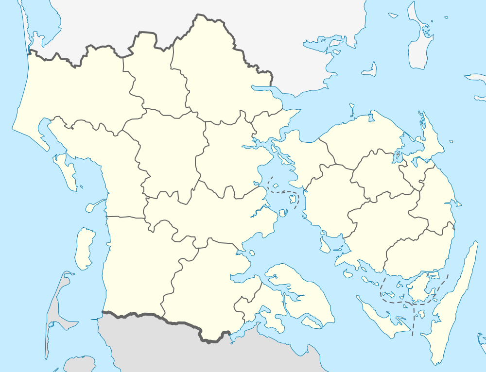
English: Location map of Region South Denmark in Denmark
Equirectangular projection, N/S stretching 177 %. Geographic limits of the map:
Deutsch: Positionskarte von der Region Syddanmark in Dänemark
Quadratische Plattkarte, N-S-Streckung 177 %. Geographische Begrenzung der Karte:
|
| Date | |
| Source | Own work |
| Author | Erik Frohne |
| SVG development |
Licensing
[edit]
I, the copyright holder of this work, hereby publish it under the following licenses:

|
Permission is granted to copy, distribute and/or modify this document under the terms of the GNU Free Documentation License, Version 1.2 or any later version published by the Free Software Foundation; with no Invariant Sections, no Front-Cover Texts, and no Back-Cover Texts. A copy of the license is included in the section entitled GNU Free Documentation License. |
This file is licensed under the Creative Commons Attribution-Share Alike 3.0 Unported license.
- You are free:
- to share – to copy, distribute and transmit the work
- to remix – to adapt the work
- Under the following conditions:
- attribution – You must give appropriate credit, provide a link to the license, and indicate if changes were made. You may do so in any reasonable manner, but not in any way that suggests the licensor endorses you or your use.
- share alike – If you remix, transform, or build upon the material, you must distribute your contributions under the same or compatible license as the original.
You may select the license of your choice.
File history
Click on a date/time to view the file as it appeared at that time.
| Date/Time | Thumbnail | Dimensions | User | Comment | |
|---|---|---|---|---|---|
| current | 13:28, 13 January 2010 | | 1,000 × 766 (252 KB) | Erik Frohne (talk | contribs) | Reverted to version as of 18:51, 10 March 2009:Colors as agreed upon by german and french map makers. Use file Denmark South Denmark location map (da).svg instead if you need other colors |
| 01:36, 29 December 2009 |  | 783 × 600 (1.35 MB) | Hubertus45 (talk | contribs) | Changing colour after consensus with other users. | |
| 23:44, 14 December 2009 |  | 783 × 600 (1.35 MB) | Hubertus45 (talk | contribs) | Making the region more visible to the neighbour areas. | |
| 23:38, 14 December 2009 |  | 783 × 600 (1.35 MB) | Hubertus45 (talk | contribs) | Making the region more visible to the neighbour areas. | |
| 18:51, 10 March 2009 |  | 1,000 × 766 (252 KB) | Erik Frohne (talk | contribs) | {{Information |Description={{en|1=Location map of Region South Denmark in Denmark Equirectangular projection, N/S stretching 177 %. Geographic limits of the map: * N: 56.00° N * S: 54.70° N * W: 8.00° E * E: 11.00° E}} {{de|1=Positionskarte von der |
You cannot overwrite this file.
File usage on Commons
There are no pages that use this file.
File usage on other wikis
The following other wikis use this file:
- Usage on ba.wikipedia.org
- Usage on ce.wikipedia.org
- Usage on de.wikipedia.org
- Skallingen
- Årø
- Avernakø
- Bågø
- Drejø
- Hjortø
- Lyø
- Koresand
- Jordsand
- Tornø
- Barsø
- Knivsberg
- Ny Lillebæltsbro
- Lillebæltsbroen
- Langelandsbroen
- Horne Land
- Helnæs
- Tåsinge
- Augustenborg Kommune
- Gram Kommune
- Als Sund
- Æbelø
- Schloss Sonderburg
- Sundeved
- Siø
- Rømø Havn
- Slivsø
- Birkholm (Insel)
- Wikipedia:Kartenwerkstatt/Positionskarten/Europa
- Sylt-Rømø-Wattenmeerbucht
- Blue Water Arena
- Dejrø
- Vorlage:Positionskarte Dänemark Syddanmark
- Haderslebener Damm
- Bjørnø
- Fænø
- Snævringen
- Skarø
- Strynø
- Egholm (Bågø)
- Brandsø
- Thurø
- Kalvø
- Romsø
- Ejlinge
View more global usage of this file.