File:Detailed map of Great Bend, Kansas.gif
Vai alla navigazione
Vai alla ricerca
Non sono disponibili versioni a risoluzione più elevata.
Detailed_map_of_Great_Bend,_Kansas.gif (575 × 425 pixel, dimensione del file: 47 KB, tipo MIME: image/gif)
Didascalie
Didascalie
Aggiungi una brevissima spiegazione di ciò che questo file rappresenta
| Descrizione |
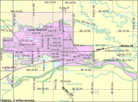
English: Detailed map of Great Bend, Kansas |
|||
| Data | Data sconosciuta; downloaded 21 October 2010 | |||
| Fonte | http://factfinder.census.gov/servlet/MapItDrawServlet?geo_id=16000US2028300&_bucket_id=50&tree_id=420&context=saff&_lang=en&_sse=on, from http://factfinder.census.gov | |||
| Autore | United States Census Bureau | |||
| Licenza (Riusare questo file) |
|

Cronologia del file
Fare clic su un gruppo data/ora per vedere il file come si presentava nel momento indicato.
| Data/Ora | Miniatura | Dimensioni | Utente | Commento | |
|---|---|---|---|---|---|
| attuale | 16:07, 28 mag 2011 | | 575 × 425 (47 KB) | FUBAR007 (discussione | contributi) | Zoomed in closer to provide greater detail |
| 05:42, 21 ott 2010 |  | 575 × 425 (31 KB) | Sbmeirow (discussione | contributi) | {{Information |Description={{en|1=Detailed map of {{w|Great Bend, Kansas}}}} |Source=http://factfinder.census.gov/servlet/MapItDrawServlet?geo_id=16000US2028300&_bucket_id=50&tree_id=420&context=saff&_lang=en&_sse=on, from http://factfinder.census.gov |Au |
Impossibile sovrascrivere questo file.
Utilizzo del file
Nessuna pagina utilizza questo file.
Utilizzo globale del file
Anche i seguenti wiki usano questo file:
- Usato nelle seguenti pagine di en.wikipedia.org:
- Usato nelle seguenti pagine di fa.wikipedia.org:
- Usato nelle seguenti pagine di it.wikipedia.org:
- Usato nelle seguenti pagine di sh.wikipedia.org: