File:Districts of Eisleben (white version).svg
Jump to navigation
Jump to search

Size of this PNG preview of this SVG file: 424 × 600 pixels. Other resolutions: 170 × 240 pixels | 339 × 480 pixels | 543 × 768 pixels | 724 × 1,024 pixels | 1,448 × 2,048 pixels | 744 × 1,052 pixels.
Original file (SVG file, nominally 744 × 1,052 pixels, file size: 117 KB)
Captions
Captions
Add a one-line explanation of what this file represents
Summary[edit]
.svg&action=edit§ion=1)
| Description |
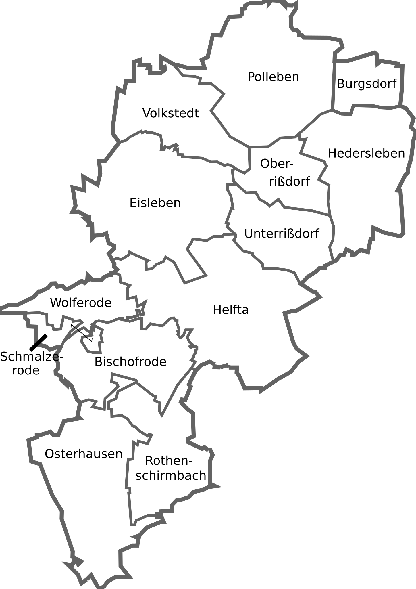
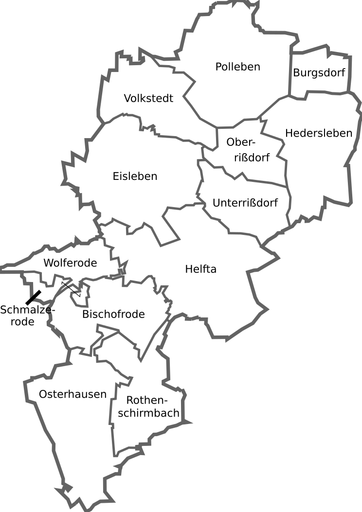
English: white empty map with the districts of the german town Eisleben
Deutsch: weiße Karte mit den Ortschaften der Lutherstadt Eisleben |
| Date | |
| Source |
Own work with informations from LVermGeo-ST, the little map is from Hagar66 This W3C-unspecified vector image was created with Inkscape . |
| Author | Pomfuttge |
| Other versions |
 |
| SVG development |
Licensing[edit]
.svg&action=edit§ion=2)
I, the copyright holder of this work, hereby publish it under the following licenses:

|
Permission is granted to copy, distribute and/or modify this document under the terms of the GNU Free Documentation License, Version 1.2 or any later version published by the Free Software Foundation; with no Invariant Sections, no Front-Cover Texts, and no Back-Cover Texts. A copy of the license is included in the section entitled GNU Free Documentation License. |
This file is licensed under the Creative Commons Attribution-Share Alike 3.0 Unported, 2.5 Generic, 2.0 Generic and 1.0 Generic license.
- You are free:
- to share – to copy, distribute and transmit the work
- to remix – to adapt the work
- Under the following conditions:
- attribution – You must give appropriate credit, provide a link to the license, and indicate if changes were made. You may do so in any reasonable manner, but not in any way that suggests the licensor endorses you or your use.
- share alike – If you remix, transform, or build upon the material, you must distribute your contributions under the same or compatible license as the original.
You may select the license of your choice.
File history
Click on a date/time to view the file as it appeared at that time.
| Date/Time | Thumbnail | Dimensions | User | Comment | |
|---|---|---|---|---|---|
| current | 23:21, 11 September 2010 | | 744 × 1,052 (117 KB) | Pomfuttge (talk | contribs) | whith white background |
| 18:54, 30 January 2010 |  | 744 × 1,052 (117 KB) | Pomfuttge (talk | contribs) | {{Information |Description={{en|1=map with the part of the german town Eisleben}} {{de|1=Karte mit den Stadtteilen von Eisleben}} |Source={{own}} |Author=Pomfuttge |Date=30/01/10 |Permission= |other_versions= }} Category:Eisleben [ |
You cannot overwrite this file.
File usage on Commons
The following page uses this file:
- File:EislebenStadtteile.svg (file redirect)
.svg&oldid=449538586)