File:Flag-map of Ivano-Frankivsk Oblast.svg
Jump to navigation
Jump to search

Size of this PNG preview of this SVG file: 467 × 599 pixels. Other resolutions: 187 × 240 pixels | 374 × 480 pixels | 598 × 768 pixels | 798 × 1,024 pixels | 1,596 × 2,048 pixels | 597 × 766 pixels.
Original file (SVG file, nominally 597 × 766 pixels, file size: 35 KB)
Captions
Captions
Add a one-line explanation of what this file represents
Summary[edit]
| Description |
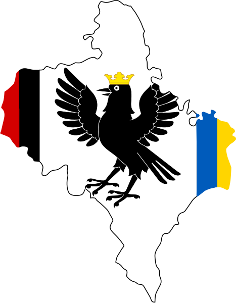
English: Flag-map of Cherkasy Oblast, Ukraine |
| Date | |
| Source | Own work |
| Author | Дмитрий-5-Аверин |
Licensing[edit]
I, the copyright holder of this work, hereby publish it under the following license:
This file is licensed under the Creative Commons Attribution-Share Alike 4.0 International license.
- You are free:
- to share – to copy, distribute and transmit the work
- to remix – to adapt the work
- Under the following conditions:
- attribution – You must give appropriate credit, provide a link to the license, and indicate if changes were made. You may do so in any reasonable manner, but not in any way that suggests the licensor endorses you or your use.
- share alike – If you remix, transform, or build upon the material, you must distribute your contributions under the same or compatible license as the original.
File history
Click on a date/time to view the file as it appeared at that time.
| Date/Time | Thumbnail | Dimensions | User | Comment | |
|---|---|---|---|---|---|
| current | 17:56, 16 August 2020 | | 597 × 766 (35 KB) | Дмитрий-5-Аверин (talk | contribs) | Uploaded own work with UploadWizard |
You cannot overwrite this file.
File usage on Commons
The following page uses this file:
File usage on other wikis
The following other wikis use this file:
- Usage on en.wikipedia.org
- Yablunytsia Pass
- Chornohora
- Gorgany
- Cheremkhiv
- Lisnyi Khlibychyn
- Bystrytsia (river)
- Liubsha Air Base
- Kozakivka
- Dzhurkiv
- Hoshiv
- Kosmach
- Template:IvanoFrankivsk-geo-stub
- Starunia
- Uhornyky, Ivano-Frankivsk Raion, Ivano-Frankivsk Oblast
- Pukiv
- Dolynske oil field
- Chortovets
- Nyzhnia Velesnytsia
- Kniahynychi
- Ripne
- Bukovets pass
- Bystrytsia of Nadvirna
- Bystrytsia of Solotvyn
- Maniava waterfall
- Zhenetskyi Huk
- Bukhtivets
- Chernytskyi
- Brebeneskul
- Rebra (peak)
- Menchul
- Pip Ivan (Maramureș)
- Zelenyi Yar
- Yablunytsia, Nadvirna Raion, Ivano-Frankivsk Oblast
- Chorniava
- Verkhnia Lypytsia
- Viktoriv, Ukraine
- Nazavyziv
- Bodnariv
- Vilkhivka, Ivano-Frankivsk Oblast
- Uhornyky, Kolomyia Raion, Ivano-Frankivsk Oblast
- Polianytsia, Nadvirna Raion, Ivano-Frankivsk Oblast
- Spas, Kalush Raion, Ivano-Frankivsk Oblast
- Radcha, Ivano-Frankivsk Oblast
- Potichok, Kolomyia Raion, Ivano-Frankivsk Oblast
- Usage on uk.wikipedia.org
View more global usage of this file.