File:Galicia and Bucovina (1861–1864). Muchawka.png
Jump to navigation
Jump to search

Size of this preview: 800 × 595 pixels. Other resolutions: 320 × 238 pixels | 640 × 476 pixels | 1,024 × 762 pixels | 1,196 × 890 pixels.
Original file (1,196 × 890 pixels, file size: 1.65 MB, MIME type: image/png)
Captions
Captions
Add a one-line explanation of what this file represents
Summary
[edit]._Muchawka.png&action=edit§ion=1)
| Description |
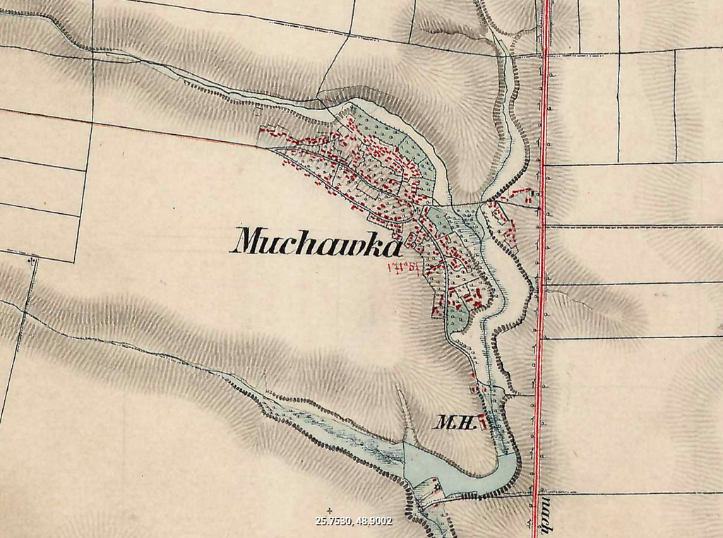
Українська: Мухавка на топографічній мапі Галичини та Буковини у 1861–1864 роках |
| Source | https://maps.arcanum.com/en/map/secondsurvey-galicia/?bbox=2859212.963356642%2C6256640.96079531%2C2866775.451842607%2C6259330.588728095&map-list=1&layers=11 |
| Author | Bundesamt für Eich- und Vermessungswesen |
| Permission (Reusing this file) |
https://www.arcanum.com/ |
| This work has been released into the public domain by its author, Bundesamt für Eich- und Vermessungswesen. This applies worldwide. In some countries this may not be legally possible; if so: Bundesamt für Eich- und Vermessungswesen grants anyone the right to use this work for any purpose, without any conditions, unless such conditions are required by law.
|
File history
Click on a date/time to view the file as it appeared at that time.
| Date/Time | Thumbnail | Dimensions | User | Comment | |
|---|---|---|---|---|---|
| current | 20:07, 9 December 2023 | | 1,196 × 890 (1.65 MB) | Roman Ivanovych Kovalchuk (talk | contribs) | {{Upload marker added by uk.wp UW}} {{Зображення |Опис = Мухавка на топографічній мапі Галичини та Буковини у 1861–1864 роках |Джерело = https://maps.arcanum.com/en/map/secondsurvey-galicia/?bbox=2859212.963356642%2C6256640.96079531%2C2866775.451842607%2C6259330.588728095&map-list=1&layers=11 |Автор = Bundesamt für Eich- und Vermessungswesen |Permission = https://www.arcanum.com/ }} {{PD-author|Bundesamt für Eich- und Vermessungswesen}} |
You cannot overwrite this file.
File usage on Commons
There are no pages that use this file.
File usage on other wikis
The following other wikis use this file:
._Muchawka.png&oldid=881152657)