File:Georgia adm location map.svg

לקובץ המקורי (קובץ SVG, הגודל המקורי: 1,715 × 913 פיקסלים, גודל הקובץ: 156 ק"ב)
כיתובים
כיתובים
תקציר[עריכה]
| תיאור |
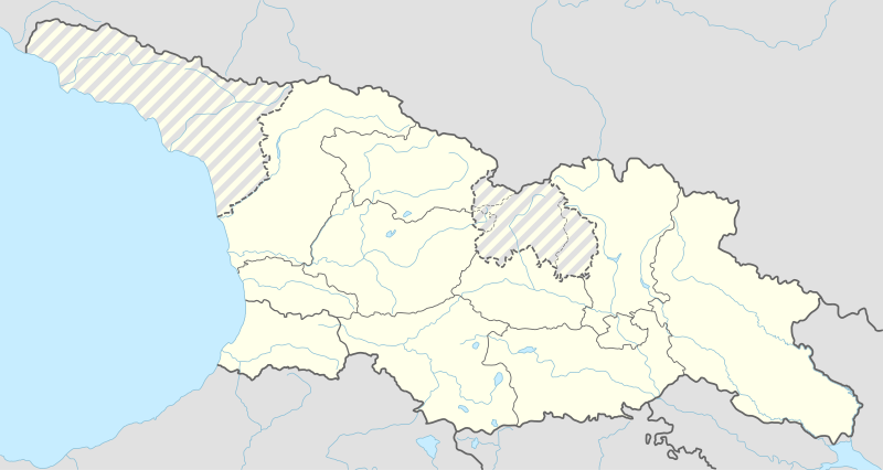
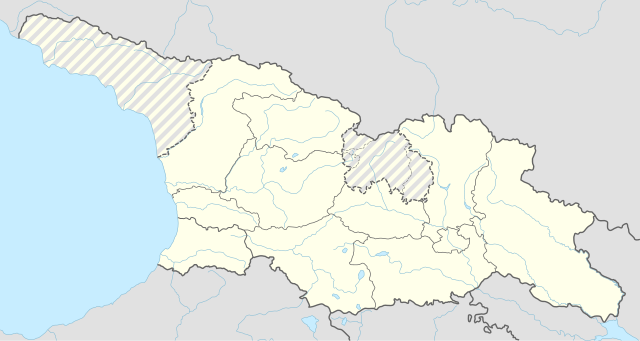
Deutsch: Positionskarte von Georgien
English: Location map of Georgia
|
||||||||||||
| תאריך יצירה | |||||||||||||
| מקור |
נוצר על ידי מעלה היצירה, תוך שימוש:
|
||||||||||||
| יוצר | NordNordWest | ||||||||||||
| SVGהתפתחות | , NordNordWest מאת Adobe Illustrator עם נוצרה ה גרפיקה וקטורית ו עם Inkscape.
|
||||||||||||

רישיון[עריכה]
Usage of this file with:

explanatory notes: Legally binding is only the full legalcode. For a free usage I recommend to respect the following licence conditions:
1. Provide my name as given above: NordNordWest,
2. a copy of, or the URI for, the applicable license: https://creativecommons.org/licenses/by-sa/3.0/de/legalcode,
3. the title of the work,
4. in the case of an adaptation, a credit identifying the use of the work in the adaptation.
This license and the rights granted hereunder will terminate automatically upon any breach by you of the terms of this license. Any of the above conditions can be waived if you get permission from the copyright holder. If you have questions or wish differing conditions, please contact me through nnwest or my discussion page ![]() t-online.de
t-online.de
- הנכם רשאים:
- לשתף – להעתיק, להפיץ ולהעביר את העבודה
- לערבב בין עבודות – להתאים את העבודה
- תחת התנאים הבאים:
- ייחוס – יש לתת ייחוס הולם, לתת קישור לרישיון, ולציין אם נעשו שינויים. אפשר לעשות את זה בכל צורה סבירה, אבל לא בשום צורה שמשתמע ממנה שמעניק הרישיון תומך בך או בשימוש שלך.
- שיתוף זהה – אם תיצרו רמיקס, תשנו, או תבנו על החומר, חובה עליכם להפיץ את התרומות שלך לפי תנאי רישיון זהה או תואם למקור.

היסטוריית הקובץ
ניתן ללחוץ על תאריך/שעה כדי לראות את הקובץ כפי שנראה באותו זמן.
| תאריך/שעה | תמונה ממוזערת | ממדים | משתמש | הערה | |
|---|---|---|---|---|---|
| נוכחית | 22:03, 15 באפריל 2018 | | 913 × 1,715 (156 ק"ב) | PlatonPskov (שיחה | תרומות) | Тбилиси 2008 |
| 21:59, 15 באפריל 2018 |  | 913 × 1,715 (156 ק"ב) | PlatonPskov (שיחה | תרומות) | Тбилиси 2008 | |
| 17:18, 26 בספטמבר 2014 |  | 913 × 1,715 (152 ק"ב) | NordNordWest (שיחה | תרומות) | == {{int:filedesc}} == {{Information |Description= {{de|1=Positionskarte von Georgien}} {{en|1=Location map of Georgia}} {{Location map series N |stretching=135 |top=43.7 |bottom=40.9 |left=39.8 |right=46.9 }} |Source={{Own using}} * United States Nati... |
אין באפשרותך לדרוס את הקובץ הזה.
שימוש בקובץ
הדפים הבאים משתמשים בקובץ הזה:
שימוש גלובלי בקובץ
אתרי הוויקי השונים הבאים משתמשים בקובץ זה:
- שימוש באתר als.wikipedia.org
- שימוש באתר av.wikipedia.org
- שימוש באתר az.wikipedia.org
- שימוש באתר ba.wikipedia.org
- שימוש באתר crh.wikipedia.org
- שימוש באתר de.wikipedia.org
- Tiflis
- Oldowan
- Kutaissi
- Batumi
- Rustawi
- Zchinwali
- Poti
- Gori
- Stepanzminda
- Abastumani (Adigeni)
- Sugdidi
- Mzcheta
- Telawi
- Dmanissi
- Bordschomi
- Zqaltubo
- Samtredia
- Achalziche
- Nationalpark Bordschomi-Charagauli
- Flughafen Tiflis
- Tschiatura
- Chaschuri
- Bolnissi
- Bakuriani
- Senaki
- Sestaponi
- Kveda Nassakirali
- Qwareli
- Achalkalaki
- Assureti
- Gudauri
- Lagodechi-Nationalpark
- Wani
- Temur-Stepania-Stadion
- Zalka
- Mestia
- Namochwani
- Vorlage:Positionskarte Georgien
- Sinatle-Stadion
- Dschawa
- Marneuli
- Kobuleti
- Osurgeti
- Vorlage:Positionskarte Georgien Südossetien
צפייה בשימושים גלובליים נוספים של קובץ זה.