File:Germany, location map (SBZ perspective) 23 May 1949 - 6 Oct 1949.svg
둘러보기로 이동
검색으로 이동

SVG 파일의 PNG 형식의 미리보기 크기: 506 × 599 픽셀. 다른 해상도: 203 × 240 픽셀 | 405 × 480 픽셀 | 648 × 768 픽셀 | 865 × 1,024 픽셀 | 1,729 × 2,048 픽셀 | 1,075 × 1,273 픽셀
원본 파일 (SVG 파일, 실제 크기 1,075 × 1,273 픽셀, 파일 크기: 1.14 MB)
캡션
설명
이 파일이 나타내는 바에 대한 한 줄 설명을 추가합니다
파일 설명
[편집]| 설명 |
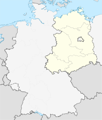
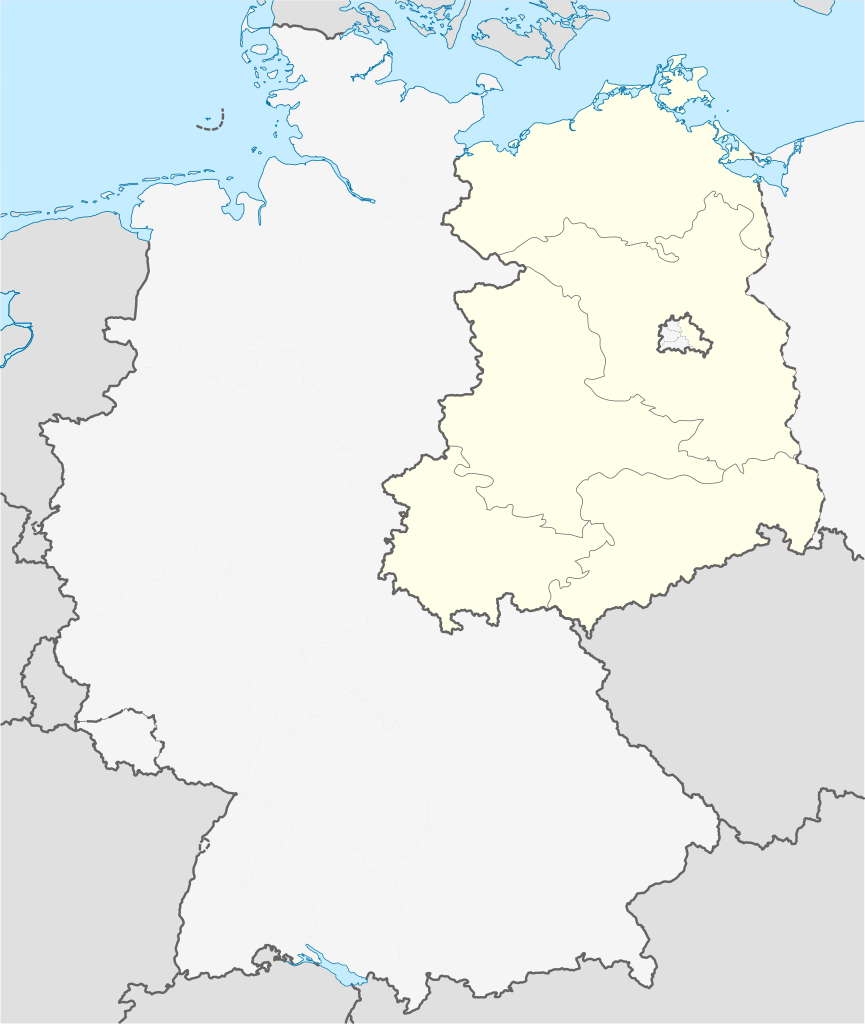
Deutsch: Positionskarte der Deutschland. Diese Karte zeigt Deutschland im Gebietsstand zwischen 23. Mai 1949 bis 6. Oktober 1949 aus Sicht der Deutschen in der SBZ.
Quadratische Plattkarte, N-S-Streckung 150 %. Geographische Begrenzung der Karte:
English: Location map of Germany. Map shows Germany as of May 23rd 1949 till October 6th 1949. Map shows the perspective of states in the soviet occupation zone.
Equirectangular projection, N/S stretching 150 %. Geographic limits of the map:
|
||
| 날짜 | Created in 2010 | ||
| 출처 | own work, based on File:Germany location map 23 April 1949 - 22 May 1949.svg | ||
| 저자 | TUBS | ||
| 저작권 (이 파일을 인용하기) |
나는 아래 작품의 저작권자로서, 이 저작물을 다음과 같은 라이선스로 배포합니다:
이 파일은 크리에이티브 커먼즈 저작자표시-동일조건변경허락 3.0 Unported 라이선스로 배포됩니다.
이 라이선스 중에서 목적에 맞는 것을 선택하여 사용할 수 있습니다. |
||
| 다른 버전 |
Bundesrepublik Deutschland (vor 1990 nur West-Deutschland):
Deutsche Demokratische Republik (mit BRD im Ausschnitt):
Ostdeutschland (vor 1990 Deutsche Demokratische Republik):
Deutschland zwischen Mai 1945 und Oktober 1949:
Thematisch:
Deutsches Reich (1918–1945) (best used with this template (de)):
|


_23_May_1949_-_6_Oct_1949.svg)


_location_map.svg)
_location_map_2013.svg)


_23_May_1949_-_6_Oct_1949.svg&action=edit§ion=1)
파일 역사
날짜/시간 링크를 클릭하면 해당 시간의 파일을 볼 수 있습니다.
| 날짜/시간 | 섬네일 | 크기 | 사용자 | 설명 | |
|---|---|---|---|---|---|
| 현재 | 2010년 4월 30일 (금) 08:02 | | 1,075 × 1,273 (1.14 MB) | TUBS (토론 | 기여) | == {{int:filedesc}} == {{Information |Description= {{de|Positionskarte der Deutschland. Diese Karte zeigt Deutschland im Gebietsstand zwischen 23. Mai 1949 bis 6. Oktober 1949 aus Sicht der Deutschen in der SBZ.}} Quadratische Plattkar |
이 파일을 덮어쓸 수 없습니다.
이 파일을 사용하는 문서
다음 문서 28개가 이 파일을 사용하고 있습니다:
- File:Deutschland Autobahnen.svg
- File:East-West-Germany-October 1949-July 1952.svg
- File:East Germany location map.svg
- File:Germany, Federal Republic of location map 23 May 1949 - 6 Oct 1949.svg
- File:Germany, Federal Republic of location map April 1952 - August 1955.svg
- File:Germany, Federal Republic of location map December 1950 - April 1952.svg
- File:Germany, Federal Republic of location map January 1957 - October 1990.svg
- File:Germany, Federal Republic of location map October 1949 - November 1950.svg
- File:Germany, Federal Republic of location map September 1955 - December 1956.svg
- File:Germany, German Democratic Republic location map January 1957 - October 1990.svg
- File:Germany, German Democratic Republic location map July 1952 - January 1957.svg
- File:Germany, German Democratic Republic location map October 1949 - July 1952.svg
- File:Germany, German Democratic Republic location map w·o FRG July 1952 - October 1990.svg
- File:Germany, German Democratic Republic location map w·o FRG October 1949 - June 1952.svg
- File:Germany, location map (SBZ perspective) 23 May 1949 - 6 Oct 1949.svg
- File:Germany2 location map.svg
- File:Germany location map.svg
- File:Germany location map 23 April 1949 - 22 May 1949.svg
- File:Germany location map 8 Jun 1947 - 22 Apr 1949.svg
- File:Germany location map April 1992 - July 1992.svg
- File:Germany location map August 1992 - June 1993.svg
- File:Germany location map July 1993 - December 2009.svg
- File:Germany location map October 1990 - March 1992.svg
- File:Germany location map labeled 8 Jun 1947 - 22 Apr 1949.svg
- File:Lage Freiberg in Deutschland.png
- File:Relief Map of Germany.png
- File:Relief Map of Germany.svg
- Template:Germany location map/other versions
이 파일을 사용하고 있는 모든 위키의 문서 목록
다음 위키에서 이 파일을 사용하고 있습니다:
- en.wikipedia.org에서 이 파일을 사용하고 있는 문서 목록
_23_May_1949_-_6_Oct_1949.svg&oldid=885733685)