File:Highland UK relief location map.jpg
둘러보기로 이동
검색으로 이동

미리 보기 크기: 555 × 599 픽셀 다른 해상도: 222 × 240 픽셀 | 445 × 480 픽셀 | 711 × 768 픽셀 | 949 × 1,024 픽셀 | 2,000 × 2,159 픽셀
원본 파일 (2,000 × 2,159 픽셀, 파일 크기: 967 KB, MIME 종류: image/jpeg)
캡션
설명
이 파일이 나타내는 바에 대한 한 줄 설명을 추가합니다
| 설명 |
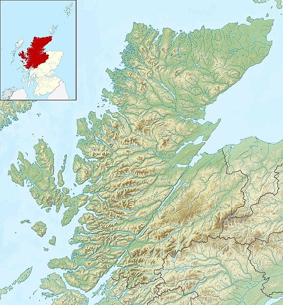
Relief map of Highland, UK. Equirectangular map projection on WGS 84 datum, with N/S stretched 180% Geographic limits:
|
| 날짜 | |
| 출처 |
|
| 저자 | Nilfanion, created using Ordnance Survey data |
| 저작권 (이 파일을 인용하기) |
이 파일은 크리에이티브 커먼즈 저작자표시-동일조건변경허락 3.0 Unported 라이선스로 배포됩니다. 저작자표시: Contains Ordnance Survey data © Crown copyright and database right
|
| 다른 버전 | File:Highland UK blank map.svg - Blank map |
파일 역사
날짜/시간 링크를 클릭하면 해당 시간의 파일을 볼 수 있습니다.
| 날짜/시간 | 섬네일 | 크기 | 사용자 | 설명 | |
|---|---|---|---|---|---|
| 현재 | 2011년 11월 30일 (수) 12:22 | | 2,000 × 2,159 (967 KB) | Nilfanion (토론 | 기여) | {{Information |Description=Relief map of Highland, UK. Equirectangular map projection on WGS 84 datum, with N/S stretched 180% Geographic limits: *West: 6.9W *East: 2.9W *North: 58.8N *South: 56.4N |Source=[[w:Ordnance Surv |
이 파일을 덮어쓸 수 없습니다.
이 파일을 사용하는 문서
다음 문서 1개가 이 파일을 사용하고 있습니다:
이 파일을 사용하고 있는 모든 위키의 문서 목록
다음 위키에서 이 파일을 사용하고 있습니다:
- ar.wikipedia.org에서 이 파일을 사용하고 있는 문서 목록
- arz.wikipedia.org에서 이 파일을 사용하고 있는 문서 목록
- ba.wikipedia.org에서 이 파일을 사용하고 있는 문서 목록
- bg.wikipedia.org에서 이 파일을 사용하고 있는 문서 목록
- ceb.wikipedia.org에서 이 파일을 사용하고 있는 문서 목록
- de.wikipedia.org에서 이 파일을 사용하고 있는 문서 목록
- Innere Hebriden
- Loch Ness
- Ben Nevis
- Eilean Donan Castle
- Urquhart Castle
- Canna
- Loch Morar
- Loch Linnhe
- Ardnamurchan
- Loch Oich
- Loch Shin
- Girnigoe and Sinclair Castle
- Dunvegan Castle
- Eilean Horrisdale
- Camus nan Geall
- Glen Coe
- Loch Lochy
- Loch Arkaig
- Loch Maree
- Ballone Castle
- Soay (Innere Hebriden)
- Ascrib Islands
- Eilean Trodday
- Wiay
- Loch Shiel
- Bealach na Bà
- Loch Assynt
- Loch Affric
- Loch Beinn a’ Mheadhoin
- Loch Cluanie
- Loch Coruisk
- Loch Dochfour
- Loch Dùghaill
- Loch an Eilean
- Loch Einich
- Loch Ericht
- Loch Loyal
- Càrn Eighe
- Cairn Gorm
- Glen Affric
- Brochel Castle
이 파일의 더 많은 사용 내역을 봅니다.