File:Iceland sat cleaned.png
跳至導覽
跳至搜尋
預覽大小:800 × 551 像素。 其他解析度:320 × 220 像素 | 640 × 440 像素 | 1,100 × 757 像素。
原始檔案 (1,100 × 757 像素,檔案大小:820 KB,MIME 類型:image/png)
說明
說明
添加單行說明來描述出檔案所代表的內容
摘要[編輯]
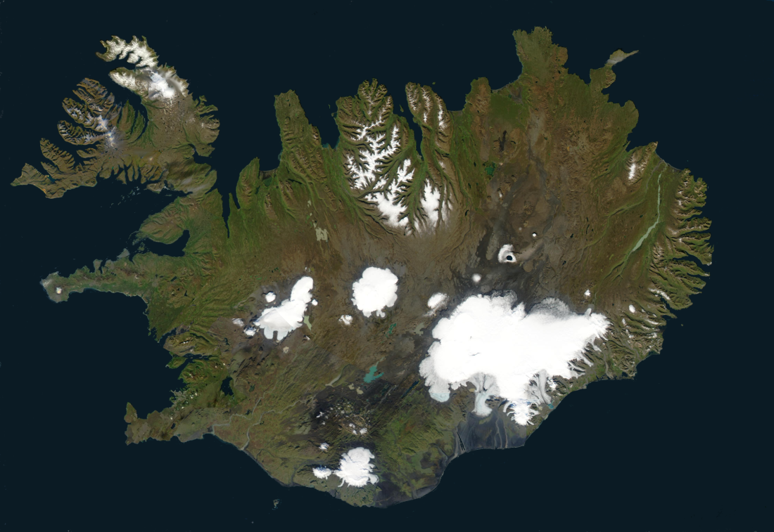
| 描述 | This image created by superimposing several satellite images using The Gimp and hand-editing the result using paintbucket, brush and smudge to make the ocean monochrome and remove most clouds. |
| 日期 | 2006年7月13日 (原始上傳日期) |
| 來源 | No machine-readable source provided. Own work assumed (based on copyright claims). |
| 作者 | No machine-readable author provided. Akigka assumed (based on copyright claims). |
摘要[編輯]
From World Wind
| 本作品由NASA創作,屬於公有領域。根據NASA的版權政策:“NASA的創作除非另有聲明否則不受版權保護。”(參見:Template:PD-USGov/zh,NASA版權政策或JPL圖像使用政策) | ||
 |
警告:
|
授權條款[編輯]
我,本作品的著作權持有者,決定用以下授權條款發佈本作品:

|
已授權您依據自由軟體基金會發行的無固定段落、封面文字和封底文字GNU自由文件授權條款1.2版或任意後續版本,對本檔進行複製、傳播和/或修改。該協議的副本列在GNU自由文件授權條款中。 |
| 此檔案採用創用CC 姓名標示-相同方式分享 3.0 未在地化版本授權條款。 | ||
| ||
| 已新增授權條款標題至此檔案,作為GFDL授權更新的一部份。 |
此檔案採用創用CC 姓名標示 2.5 通用版授權條款。
- 您可以自由:
- 分享 – 複製、發佈和傳播本作品
- 重新修改 – 創作演繹作品
- 惟需遵照下列條件:
- 姓名標示 – 您必須指名出正確的製作者,和提供授權條款的連結,以及表示是否有對內容上做出變更。您可以用任何合理的方式來行動,但不得以任何方式表明授權條款是對您許可或是由您所使用。
您可以選擇您需要的授權條款。
| 註解 | 該圖片含有註解:在維基媒體共享資源上查看註解 |
檔案歷史
點選日期/時間以檢視該時間的檔案版本。
| 日期/時間 | 縮圖 | 尺寸 | 使用者 | 備註 | |
|---|---|---|---|---|---|
| 目前 | 2006年7月13日 (四) 13:48 | | 1,100 × 757(820 KB) | Akigka(留言 | 貢獻) | This image created by superimposing several satellite images using [http://www.gimp.org The Gimp] and hand-editing the result using paintbucket, brush and smudge to make the ocean monochrome and remove most clouds. == Summary == From World Wind {{PD-USGo |
無法覆蓋此檔案。
檔案用途
下列7個頁面有用到此檔案:
全域檔案使用狀況
以下其他 wiki 使用了這個檔案:
- azb.wikipedia.org 的使用狀況
- bo.wikipedia.org 的使用狀況
- ca.wikipedia.org 的使用狀況
- da.wikipedia.org 的使用狀況
- de.wikipedia.org 的使用狀況
- dz.wikipedia.org 的使用狀況
- en.wikipedia.org 的使用狀況
- en.wiktionary.org 的使用狀況
- eo.wikipedia.org 的使用狀況
- es.wikipedia.org 的使用狀況
- et.wikipedia.org 的使用狀況
- ext.wikipedia.org 的使用狀況
- fa.wikipedia.org 的使用狀況
- fi.wikipedia.org 的使用狀況
- fo.wikipedia.org 的使用狀況
- fr.wikipedia.org 的使用狀況
- fy.wiktionary.org 的使用狀況
- gd.wikipedia.org 的使用狀況
- he.wiktionary.org 的使用狀況
- hr.wiktionary.org 的使用狀況
檢視此檔案的更多全域使用狀況。
分類:
- Satellite pictures of Iceland
- 2006 in Iceland
- Satellite pictures of glaciers
- Satellite pictures of Hofsjökull
- Satellite pictures of Langjökull
- Satellite pictures of Vatnajökull
- Satellite pictures of Mýrdalsjökull
- Satellite pictures of Eyjafjallajökull
- Satellite pictures of Snæfellsjökull
- Satellite pictures of Drangajökull
- Glaciers of Tröllaskagi
- Annotated images of Iceland
- Þrándarjökull