File:Japan Kanto adm location map.svg
קפיצה לניווט
קפיצה לחיפוש

גודל התצוגה המקדימה הזאת מסוג PNG של קובץ ה־SVG הזה: 488 × 600 פיקסלים. רזולוציות אחרות: 195 × 240 פיקסלים | 391 × 480 פיקסלים | 625 × 768 פיקסלים | 833 × 1,024 פיקסלים | 1,667 × 2,048 פיקסלים | 966 × 1,187 פיקסלים.
לקובץ המקורי (קובץ SVG, הגודל המקורי: 966 × 1,187 פיקסלים, גודל הקובץ: 465 ק"ב)
כיתובים
כיתובים
נא להוסיף משפט שמסביר מה הקובץ מייצג
תקציר[עריכה]
| תיאור |
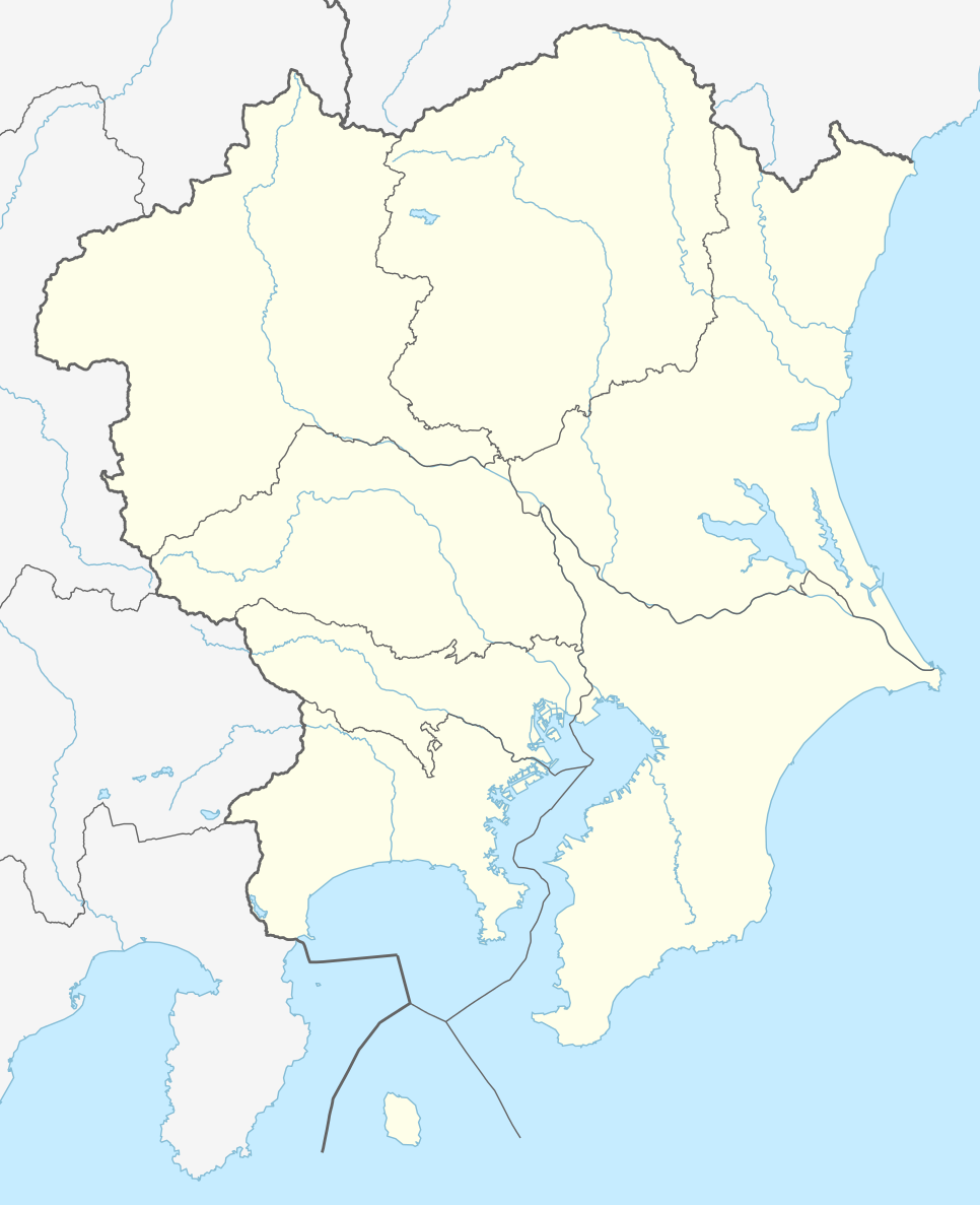
Deutsch: Positionskarte der Region Kantō, Japan (ohne Izu- und Ogasawara-Inseln)
English: Location map of Kantō region, Japan (without Izu and Ogasawara Islands)
|
||||||||||||
| תאריך יצירה | |||||||||||||
| מקור |
נוצר על ידי מעלה היצירה, תוך שימוש: |
||||||||||||
| יוצר | NordNordWest and OpenStreetMap contributors | ||||||||||||

|
This map has been made or improved in the German Kartenwerkstatt (Map Lab). You can propose maps to improve as well.
|
רישיון[עריכה]
הקובץ הזה מתפרסם לפי תנאי רישיון קריאייטיב קומונז ייחוס-שיתוף זהה 2.0 כללי.
- הנכם רשאים:
- לשתף – להעתיק, להפיץ ולהעביר את העבודה
- לערבב בין עבודות – להתאים את העבודה
- תחת התנאים הבאים:
- ייחוס – יש לתת ייחוס הולם, לתת קישור לרישיון, ולציין אם נעשו שינויים. אפשר לעשות את זה בכל צורה סבירה, אבל לא בשום צורה שמשתמע ממנה שמעניק הרישיון תומך בך או בשימוש שלך.
- שיתוף זהה – אם תיצרו רמיקס, תשנו, או תבנו על החומר, חובה עליכם להפיץ את התרומות שלך לפי תנאי רישיון זהה או תואם למקור.
היסטוריית הקובץ
ניתן ללחוץ על תאריך/שעה כדי לראות את הקובץ כפי שנראה באותו זמן.
| תאריך/שעה | תמונה ממוזערת | ממדים | משתמש | הערה | |
|---|---|---|---|---|---|
| נוכחית | 19:44, 22 ביולי 2015 | | 1,187 × 966 (465 ק"ב) | NordNordWest (שיחה | תרומות) | == {{int:filedesc}} == {{Information |Description= {{de|1=Positionskarte der Region Kantō, Japan (ohne Izu- und Ogasawara-Inseln)}} {{en|1=Location map of Kantō region, Japan (without Izu and Ogasawara Islands)}} {{Location map series N |stretching=-... |
אין באפשרותך לדרוס את הקובץ הזה.
שימוש בקובץ
הדף הבא משתמש בקובץ הזה:
שימוש גלובלי בקובץ
אתרי הוויקי השונים הבאים משתמשים בקובץ זה:
- שימוש באתר de.wikipedia.org
- J1 League
- Wikipedia:Kartenwerkstatt/Positionskarten/Asien
- J2 League
- J.League 1993
- J.League 1994
- J.League Division 1 2014
- J.League 1995
- J1 League 2015
- J.League 1996
- Vorlage:Positionskarte Japan Kantō
- J.League 1997
- J1 League 2016
- J2 League 2016
- J3 League 2016
- Japan Football League 2016
- J2 League 2015
- J3 League 2015
- J3 League 2014
- J.League Division 2 2014
- J.League 1998
- J.League Division 1 1999
- J.League Division 1 2000
- J.League Division 1 2001
- J.League Division 1 2002
- J.League Division 1 2003
- J.League Division 1 2004
- J.League Division 1 2005
- J.League Division 1 2006
- J.League Division 1 2007
- J.League Division 1 2008
- J.League Division 1 2009
- J.League Division 1 2010
- J.League Division 1 2011
- J.League Division 1 2012
- J.League Division 1 2013
- J.League Division 2 2013
- J.League Division 2 1999
- J.League Division 2 2000
- J.League Division 2 2001
- J.League Division 2 2002
- J.League Division 2 2003
- J.League Division 2 2004
- J.League Division 2 2005
- J.League Division 2 2006
- J.League Division 2 2007
- J.League Division 2 2008
- J.League Division 2 2009
- J.League Division 2 2010
- J.League Division 2 2011
- J.League Division 2 2012
צפייה בשימושים גלובליים נוספים של קובץ זה.